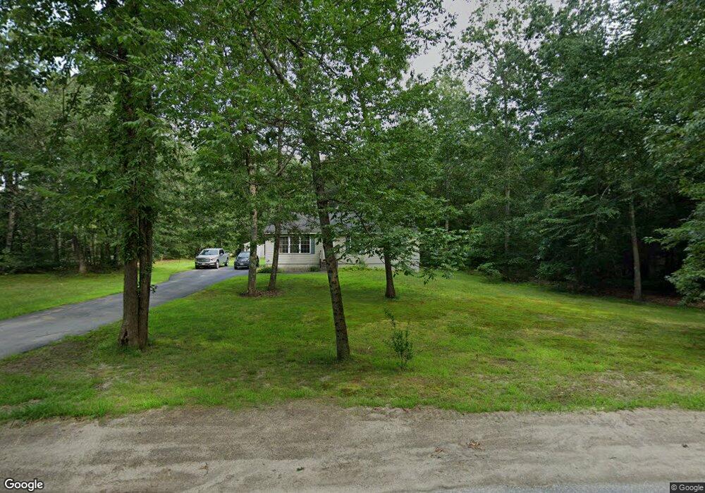
4 Poor Farm Rd Lyman, ME 04002
Lyman NeighborhoodEstimated Value: $404,000 - $460,000
3
Beds
1
Bath
1,144
Sq Ft
$383/Sq Ft
Est. Value
About This Home
This home is located at 4 Poor Farm Rd, Lyman, ME 04002 and is currently estimated at $438,463, approximately $383 per square foot. 4 Poor Farm Rd is a home located in York County with nearby schools including Massabesic High School.
Ownership History
Date
Name
Owned For
Owner Type
Purchase Details
Closed on
Jul 5, 2011
Sold by
Grants Lawn & Gdn Svcs Llc
Bought by
Doe Jon R and Doe Kimberly D
Current Estimated Value
Home Financials for this Owner
Home Financials are based on the most recent Mortgage that was taken out on this home.
Original Mortgage
$174,600
Outstanding Balance
$120,741
Interest Rate
4.62%
Mortgage Type
Purchase Money Mortgage
Estimated Equity
$317,722
Purchase Details
Closed on
Apr 15, 2010
Sold by
Daigle Eugene and Daigle Mary
Bought by
Grants Lawn & Garden Svcs
Create a Home Valuation Report for This Property
The Home Valuation Report is an in-depth analysis detailing your home's value as well as a comparison with similar homes in the area
Home Values in the Area
Average Home Value in this Area
Purchase History
| Date | Buyer | Sale Price | Title Company |
|---|---|---|---|
| Doe Jon R | -- | -- | |
| Grants Lawn & Garden Svcs | -- | -- |
Source: Public Records
Mortgage History
| Date | Status | Borrower | Loan Amount |
|---|---|---|---|
| Open | Doe Jon R | $174,600 |
Source: Public Records
Tax History Compared to Growth
Tax History
| Year | Tax Paid | Tax Assessment Tax Assessment Total Assessment is a certain percentage of the fair market value that is determined by local assessors to be the total taxable value of land and additions on the property. | Land | Improvement |
|---|---|---|---|---|
| 2024 | $3,720 | $295,000 | $138,000 | $157,000 |
| 2023 | $3,596 | $295,000 | $138,000 | $157,000 |
| 2022 | $3,452 | $295,000 | $138,000 | $157,000 |
| 2021 | $3,100 | $295,000 | $138,000 | $157,000 |
| 2020 | $2,000 | $211,000 | $54,000 | $157,000 |
| 2019 | $2,209 | $211,000 | $54,000 | $157,000 |
| 2018 | $1,924 | $179,000 | $45,000 | $134,000 |
| 2017 | $1,797 | $163,900 | $41,400 | $122,500 |
| 2015 | $2,032 | $163,900 | $41,400 | $122,500 |
| 2014 | $1,949 | $160,400 | $41,400 | $119,000 |
Source: Public Records
Map
Nearby Homes
- 40 Oakwood St
- 69 Oscar Littlefield Rd
- 19 Day Rd
- 65 Old County Rd
- 149 Duke Ln
- 22 Caya Ln Unit A
- 16 Marcotte Ln
- 296 Wadleigh Pond Rd
- 22 White House Cove Rd
- 57 Reagan Lynn Rd
- 330 Biddeford Rd
- 533 Kennebunk Rd
- 87 Drown Rd
- 214 Thompson Rd
- Lot 1 Kennebunk Rd
- 32 Conifer Dr
- 74 Lisa Dr
- 10 Tide Water Dr
- 11 Tide Water Dr
- 1 Tide Water Dr
- Lot 1 Off of Poor Farm Rd
- Lot 1, 0 Poor Farm Rd
- 2 Roy St
- 335 Kennebunk Pond Rd
- 0 Kennebunk Pond Rd
- 8 Wentworth St
- 10 Wentworth St
- 314 Kennebunk Pond Rd
- 6 Cuttles St
- 12 Roy St
- 332 Kennebunk Pond Rd
- 8 Roy St
- 9 Poor Farm Rd
- 313 Kennebunk Pond Rd
- 311 Kennebunk Pond Rd
- 6 Twin Pines Rd
- 7 Wentworth St
- 20 Poor Farm Rd
- 3 Wentworth St
- 13 Elm St