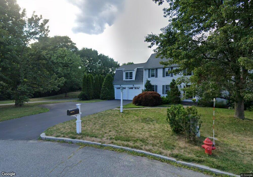
4 Presbrey Place Natick, MA 01760
Estimated Value: $1,201,537 - $1,376,000
4
Beds
3
Baths
2,476
Sq Ft
$525/Sq Ft
Est. Value
About This Home
This home is located at 4 Presbrey Place, Natick, MA 01760 and is currently estimated at $1,299,884, approximately $524 per square foot. 4 Presbrey Place is a home located in Middlesex County with nearby schools including Natick High School, Memorial Elementary School, and J F Kennedy Middle School.
Ownership History
Date
Name
Owned For
Owner Type
Purchase Details
Closed on
Mar 13, 2008
Sold by
Mason Carolyn M and Mason Peter E
Bought by
Bernard Roberta A and Bernard Ronald G
Current Estimated Value
Home Financials for this Owner
Home Financials are based on the most recent Mortgage that was taken out on this home.
Original Mortgage
$400,000
Interest Rate
5.72%
Mortgage Type
Purchase Money Mortgage
Purchase Details
Closed on
Nov 6, 1992
Sold by
Wb & T Rlty Corp
Bought by
Mason Carolyn M and Mason Peter E
Create a Home Valuation Report for This Property
The Home Valuation Report is an in-depth analysis detailing your home's value as well as a comparison with similar homes in the area
Home Values in the Area
Average Home Value in this Area
Purchase History
| Date | Buyer | Sale Price | Title Company |
|---|---|---|---|
| Bernard Roberta A | $604,000 | -- | |
| Mason Carolyn M | $217,260 | -- |
Source: Public Records
Mortgage History
| Date | Status | Borrower | Loan Amount |
|---|---|---|---|
| Open | Mason Carolyn M | $393,000 | |
| Closed | Mason Carolyn M | $400,000 | |
| Closed | Bernard Roberta A | $400,000 | |
| Previous Owner | Mason Carolyn M | $100,000 |
Source: Public Records
Tax History
| Year | Tax Paid | Tax Assessment Tax Assessment Total Assessment is a certain percentage of the fair market value that is determined by local assessors to be the total taxable value of land and additions on the property. | Land | Improvement |
|---|---|---|---|---|
| 2025 | $11,880 | $993,300 | $485,000 | $508,300 |
| 2024 | $11,538 | $941,100 | $458,200 | $482,900 |
| 2023 | $10,954 | $866,600 | $428,000 | $438,600 |
| 2022 | $10,707 | $802,600 | $387,700 | $414,900 |
| 2021 | $10,255 | $753,500 | $366,500 | $387,000 |
| 2020 | $10,039 | $737,600 | $350,600 | $387,000 |
| 2019 | $9,375 | $737,600 | $350,600 | $387,000 |
| 2018 | $9,486 | $726,900 | $334,600 | $392,300 |
| 2017 | $8,414 | $623,700 | $278,600 | $345,100 |
| 2016 | $8,240 | $607,200 | $273,300 | $333,900 |
| 2015 | $8,010 | $579,600 | $273,300 | $306,300 |
Source: Public Records
Map
Nearby Homes
- 216-218 S Main St
- 62 Oakland St
- 7 Allison Way Unit 7
- 16 West St
- 25 Forest Ave
- 16 Wayside Rd Unit 14
- 11 Morgan Dr Unit 404
- 6 Floral Avenue Extension
- 8 Floral Avenue Extension
- 8 Floral Ave Unit 8
- 63 Pond St
- 58 W Central St
- 98 W Central St
- 1 Fern St
- 1 Lincoln Street Extension
- 6 Hopewell Farm Rd
- 124 Everett St
- 1 Proctor St
- 11 Avon St
- 49 Summer St