4 Prestwick Rd Bourne, MA 2532
Monument Beach NeighborhoodEstimated Value: $603,000 - $729,000
2
Beds
2
Baths
1,790
Sq Ft
$365/Sq Ft
Est. Value
About This Home
This home is located at 4 Prestwick Rd, Bourne, MA 2532 and is currently estimated at $653,511, approximately $365 per square foot. 4 Prestwick Rd is a home located in Barnstable County with nearby schools including Bourne High School, St Margaret Regional School, and Cadence Academy Preschool - Bourne.
Ownership History
Date
Name
Owned For
Owner Type
Purchase Details
Closed on
Oct 12, 2022
Sold by
Monigan Brendan J
Bought by
Paul L Bennotti Ret
Current Estimated Value
Purchase Details
Closed on
Aug 11, 2017
Sold by
Lamarre Normand L and Downey Michael P
Bought by
Monigan Brendan J
Purchase Details
Closed on
Aug 31, 2007
Sold by
Brookside Res Llc
Bought by
Downey Michael P and Lamarre Normand L
Home Financials for this Owner
Home Financials are based on the most recent Mortgage that was taken out on this home.
Original Mortgage
$80,000
Interest Rate
6.71%
Mortgage Type
Purchase Money Mortgage
Create a Home Valuation Report for This Property
The Home Valuation Report is an in-depth analysis detailing your home's value as well as a comparison with similar homes in the area
Home Values in the Area
Average Home Value in this Area
Purchase History
| Date | Buyer | Sale Price | Title Company |
|---|---|---|---|
| Paul L Bennotti Ret | $630,000 | None Available | |
| Monigan Brendan J | $420,000 | -- | |
| Downey Michael P | $445,000 | -- |
Source: Public Records
Mortgage History
| Date | Status | Borrower | Loan Amount |
|---|---|---|---|
| Previous Owner | Downey Michael P | $80,000 |
Source: Public Records
Tax History
| Year | Tax Paid | Tax Assessment Tax Assessment Total Assessment is a certain percentage of the fair market value that is determined by local assessors to be the total taxable value of land and additions on the property. | Land | Improvement |
|---|---|---|---|---|
| 2025 | $4,417 | $565,500 | $0 | $565,500 |
| 2024 | $4,200 | $523,700 | $0 | $523,700 |
| 2023 | $4,083 | $463,400 | $0 | $463,400 |
| 2022 | $4,039 | $400,300 | $0 | $400,300 |
| 2021 | $4,074 | $378,300 | $0 | $378,300 |
| 2020 | $4,019 | $374,200 | $0 | $374,200 |
| 2019 | $3,767 | $358,400 | $0 | $358,400 |
| 2018 | $3,588 | $340,400 | $0 | $340,400 |
| 2017 | $3,672 | $356,500 | $0 | $356,500 |
| 2016 | $3,437 | $338,300 | $0 | $338,300 |
| 2015 | $3,145 | $312,300 | $0 | $312,300 |
Source: Public Records
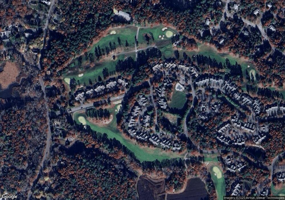
Map
Nearby Homes
- 13 Laurel Hill Ct
- 2 Applewood Ct
- 12 Turnberry Rd Unit 12
- 203 County Rd
- 4 Hollyhock Knoll Ct Unit 4
- 4 Hollyhock Knoll Ct Unit 4
- 5 Zoli Ln
- 405 Village Dr Unit 405
- 16 Amberwood Ct
- 44 Cotuit Rd
- 5 Harbor Hill Dr
- 4 Harbor Hill Dr
- 60 Sandwich Rd
- 77 Roundhouse Rd Unit 77
- 17 Colony Ave
- 38 Old Bridge Rd
- 3 Honora Ln Unit 3
- 6 Honora Ln
- 10 Howard Ave
- 10 Howard Ave
- 2 Prestwick Rd
- 6 Prestwick Rd
- 4 Prestwick Rd
- 1 Candleberry Ct
- 3 Candleberry Ct
- 2 Candleberry Ct
- 1 Candleberry Ct
- 1 Candleberry Ct Unit 168
- 1 Candleberry Ct Unit 4
- 2 Candleberry Ct Unit 169
- 7 Prestwick Rd
- 3 Prestwick Rd
- 4 Candleberry Ct
- 7 Candleberry Ct
- 2 Candleberry Ct
- 6 Candleberry Ct
- 9 Prestwick Rd
- 4 Candleberry Ct
- 4 Candleberry Ct Unit 189
- 5 Candleberry Ct
Your Personal Tour Guide
Ask me questions while you tour the home.