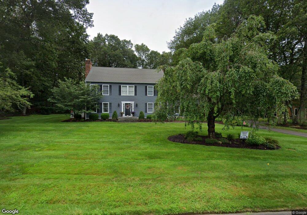
4 Queens Peak Unit 12 Canton, CT 06019
Estimated Value: $736,000 - $966,000
About This Home
This home is located at 4 Queens Peak Unit 12, Canton, CT 06019 and is currently estimated at $819,095, approximately $266 per square foot. 4 Queens Peak Unit 12 is a home located in Hartford County with nearby schools including Roaring Brook School, Thompson Brook School, and Avon Middle School.
Ownership History
We collect this data history from publicly available records. To have your information removed, we recommend requesting removal directly through your county’s website.
Purchase Details
Purchase Details
Home Values in the Area
Average Home Value in this Area
Purchase History
We collect this data history from publicly available records. To have your information removed, we recommend requesting removal directly through your county’s website.
| Date | Buyer | Sale Price | Title Company |
|---|---|---|---|
| $510,000 | -- | ||
| $510,000 | -- | ||
| $465,000 | -- | ||
| $465,000 | -- |
Mortgage History
We collect this data history from publicly available records. To have your information removed, we recommend requesting removal directly through your county’s website.
| Date | Status | Borrower | Loan Amount |
|---|---|---|---|
| Open | $46,000 | ||
| Open | $416,666 |
Tax History
We collect this data history from publicly available records. To have your information removed, we recommend requesting removal directly through your county’s website.
| Year | Tax Paid | Tax Assessment Tax Assessment Total Assessment is a certain percentage of the fair market value that is determined by local assessors to be the total taxable value of land and additions on the property. | Land | Improvement |
|---|---|---|---|---|
| 2025 | $13,201 | $394,060 | $104,650 | $289,410 |
| 2024 | $13,457 | $394,060 | $104,650 | $289,410 |
| 2023 | $10,021 | $283,320 | $100,100 | $183,220 |
| 2022 | $9,545 | $283,320 | $100,100 | $183,220 |
| 2021 | $9,412 | $283,320 | $100,100 | $183,220 |
| 2020 | $9,233 | $283,320 | $100,100 | $183,220 |
| 2019 | $9,075 | $283,320 | $100,100 | $183,220 |
| 2018 | $9,980 | $325,070 | $105,000 | $220,070 |
| 2017 | $9,911 | $325,070 | $105,000 | $220,070 |
| 2016 | $9,674 | $325,070 | $105,000 | $220,070 |
| 2015 | $9,489 | $325,070 | $105,000 | $220,070 |
| 2014 | $9,284 | $325,070 | $105,000 | $220,070 |
Map
- 7 Queens Peak
- 14 Scarborough Dr
- 139 Craigemore Cir
- 45 Lakeview Blvd
- 115 Craigemore Cir
- 9 Weatherstone
- 31 Bart Dr
- 514 Dowd Ave Unit 514
- 472 Dowd Ave Unit 472
- 284 Northington Dr
- 66 Atwater Rd
- 110 Windsor Ct
- 30 Cliff Dr
- 28 Quail Ridge Dr
- 26 Canton Valley Cir
- 48 Weatherstone
- 13 Canton Valley Cir
- 6 Timothy Way
- 20 Huckleberry Hill Rd
- 9 Michael Dr
- 6 Queens Peak
- 2 Queens Peak
- 3 Queens Peak
- 0 Queens Peak Unit G577215
- 1 Queens Peak
- 8 Queens Peak
- 39 Princeton Dr Unit LOT 79
- 6 Jeff Ln
- 4 Jeff Ln
- 23 Sunrise Dr
- 26 Sunrise Dr
- 11 Queens Peak
- 28 Sunrise Dr
- 0 Princeton Dr
- 31 Pond View Dr
- 24 Sunrise Dr
- 8 Jeff Ln
- 8 Jeffs Ln
- 55 Princeton Dr Unit LOT 81
- 47 Princeton Dr
Ask me questions while you tour the home.