4 Rebstock Rd Morrilton, AR 72110
Estimated Value: $147,000 - $234,000
--
Bed
--
Bath
1,240
Sq Ft
$157/Sq Ft
Est. Value
About This Home
This home is located at 4 Rebstock Rd, Morrilton, AR 72110 and is currently estimated at $194,803, approximately $157 per square foot. 4 Rebstock Rd is a home located in Conway County with nearby schools including Morrilton Primary School, Morrilton Elementary School, and Morrilton Intermediate School.
Ownership History
Date
Name
Owned For
Owner Type
Purchase Details
Closed on
Aug 12, 2021
Sold by
Parish Sam and Parish Stephanie Nicole
Bought by
Plummer Charles
Current Estimated Value
Home Financials for this Owner
Home Financials are based on the most recent Mortgage that was taken out on this home.
Original Mortgage
$166,666
Outstanding Balance
$151,551
Interest Rate
2.9%
Mortgage Type
New Conventional
Estimated Equity
$43,252
Purchase Details
Closed on
Nov 22, 2019
Sold by
Smith Linda and Smith Gary
Bought by
Parish Sam
Home Financials for this Owner
Home Financials are based on the most recent Mortgage that was taken out on this home.
Original Mortgage
$56,000
Interest Rate
3.5%
Mortgage Type
New Conventional
Purchase Details
Closed on
Mar 27, 2003
Bought by
Hubbard Marion Paul
Purchase Details
Closed on
Mar 9, 1988
Bought by
Hubbard Paul
Create a Home Valuation Report for This Property
The Home Valuation Report is an in-depth analysis detailing your home's value as well as a comparison with similar homes in the area
Home Values in the Area
Average Home Value in this Area
Purchase History
| Date | Buyer | Sale Price | Title Company |
|---|---|---|---|
| Plummer Charles | $165,000 | None Available | |
| Parish Sam | $70,000 | None Available | |
| Hubbard Marion Paul | -- | -- | |
| Hubbard Paul | -- | -- |
Source: Public Records
Mortgage History
| Date | Status | Borrower | Loan Amount |
|---|---|---|---|
| Open | Plummer Charles | $166,666 | |
| Previous Owner | Parish Sam | $56,000 |
Source: Public Records
Tax History Compared to Growth
Tax History
| Year | Tax Paid | Tax Assessment Tax Assessment Total Assessment is a certain percentage of the fair market value that is determined by local assessors to be the total taxable value of land and additions on the property. | Land | Improvement |
|---|---|---|---|---|
| 2024 | $721 | $24,860 | $3,440 | $21,420 |
| 2023 | $796 | $24,860 | $3,440 | $21,420 |
| 2022 | $846 | $24,860 | $3,440 | $21,420 |
| 2021 | $185 | $11,400 | $2,070 | $9,330 |
| 2020 | $564 | $11,400 | $2,070 | $9,330 |
| 2019 | $560 | $11,400 | $2,070 | $9,330 |
| 2018 | $24 | $11,400 | $2,070 | $9,330 |
| 2017 | $24 | $12,330 | $3,000 | $9,330 |
| 2016 | $18 | $7,612 | $1,540 | $6,072 |
| 2015 | -- | $7,612 | $1,540 | $6,072 |
| 2014 | -- | $7,612 | $1,540 | $6,072 |
Source: Public Records
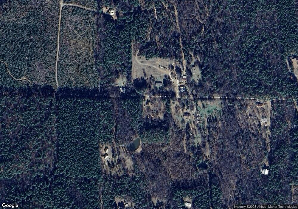
Map
Nearby Homes
- 154 Cr
- 00 Bartlett Dr
- 18 Lost Cabin Rd
- 30 Acres Davies Ln
- 816 Winrock Dr
- 160 Acres America Rd
- 965 Winrock Dr
- 22 Wildwood Vista
- 1097 Winrock Dr
- 299 Highway 247
- 00 Gold Hill Rd
- Tract 1 E Bay Rd
- Tract 2 E Bay Rd
- 1440 N Shore Rd
- 53 64 75 Pawpaw Bend Rd
- 000 Ave 5 St SW
- 000 Avenue 5 SW
- 00 Mary Ln
- 0 County Road 333
- 1314 Avenue 3 SE
- 4 Rebstock Rd
- 4acr Rebstock Rd
- 3 Rebstock Rd
- 52 Rebstock Rd
- 52 Rebstock Rd
- 14 West Rd
- 82 West Rd
- 597 Red Bluff Dr
- 655 Red Bluff Dr
- 80 Rebstock Rd
- 645 Red Bluff Dr
- 88 Rebstock Rd
- 673 Red Bluff Dr
- 000 West Rd
- 91 Rebstock Rd
- 685 Red Bluff Dr
- 0 Rebstock Rd Unit 8-1606
- 0 Rebstock Rd Unit 17022030
- 0 Rebstock Rd Unit 4 Acres, Red Bluff D
- 0 Rebstock Rd