Estimated Value: $794,000 - $870,000
4
Beds
3
Baths
1,762
Sq Ft
$463/Sq Ft
Est. Value
About This Home
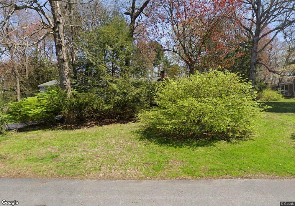
This home is located at 4 Redwood Rd, Acton, MA 01720 and is currently estimated at $815,931, approximately $463 per square foot. 4 Redwood Rd is a home located in Middlesex County with nearby schools including Acton-Boxborough Regional High School, Maynard Knowledge Beginnings, and The Imago School.
Ownership History
Date
Name
Owned For
Owner Type
Purchase Details
Closed on
Nov 19, 1987
Sold by
James J
Bought by
Reilly Joseph J
Current Estimated Value
Home Financials for this Owner
Home Financials are based on the most recent Mortgage that was taken out on this home.
Original Mortgage
$215,000
Interest Rate
11.22%
Mortgage Type
Purchase Money Mortgage
Create a Home Valuation Report for This Property
The Home Valuation Report is an in-depth analysis detailing your home's value as well as a comparison with similar homes in the area
Home Values in the Area
Average Home Value in this Area
Purchase History
| Date | Buyer | Sale Price | Title Company |
|---|---|---|---|
| Reilly Joseph J | $242,500 | -- |
Source: Public Records
Mortgage History
| Date | Status | Borrower | Loan Amount |
|---|---|---|---|
| Closed | Reilly Joseph J | $89,661 | |
| Closed | Reilly Joseph J | $215,000 | |
| Previous Owner | Reilly Joseph J | $30,000 |
Source: Public Records
Tax History Compared to Growth
Tax History
| Year | Tax Paid | Tax Assessment Tax Assessment Total Assessment is a certain percentage of the fair market value that is determined by local assessors to be the total taxable value of land and additions on the property. | Land | Improvement |
|---|---|---|---|---|
| 2025 | $11,015 | $642,300 | $315,100 | $327,200 |
| 2024 | $10,457 | $627,300 | $315,100 | $312,200 |
| 2023 | $9,986 | $568,700 | $286,500 | $282,200 |
| 2022 | $10,114 | $520,000 | $249,000 | $271,000 |
| 2021 | $9,662 | $477,600 | $230,600 | $247,000 |
| 2020 | $9,056 | $470,700 | $230,600 | $240,100 |
| 2019 | $8,627 | $445,400 | $230,600 | $214,800 |
| 2018 | $8,035 | $414,600 | $230,600 | $184,000 |
| 2017 | $7,902 | $414,600 | $230,600 | $184,000 |
| 2016 | $7,544 | $392,300 | $230,600 | $161,700 |
| 2015 | $7,532 | $395,400 | $230,600 | $164,800 |
| 2014 | $7,552 | $388,300 | $230,600 | $157,700 |
Source: Public Records
Map
Nearby Homes
- 5 Oakwood Rd
- 8 Laurel Ct
- 70 River St
- 86 School St
- 71 School St
- 128 Audubon Dr
- 2 Clover Hill Rd
- 169 Main St
- 40 High St
- 12 Brewster Ln
- 129 Main St Unit 129
- 129 Main St
- 131 Main St
- 8 High St Unit G1
- 118 Parker St Unit 16
- 19 Railroad St Unit C2
- 128 Parker St Unit 3B
- 23 John Swift Rd
- 132 Parker St Unit G5
- 491 Main St