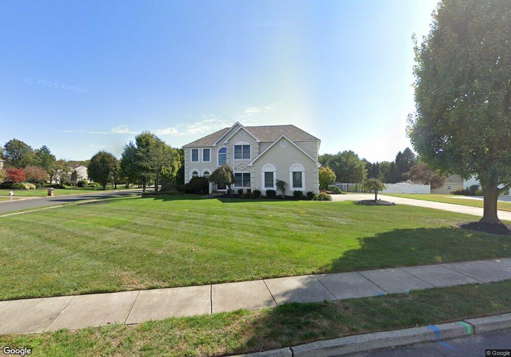
4 Rickland Dr Sewell, NJ 08080
Washington Township NeighborhoodEstimated Value: $681,395 - $770,000
--
Bed
--
Bath
3,412
Sq Ft
$214/Sq Ft
Est. Value
About This Home
This home is located at 4 Rickland Dr, Sewell, NJ 08080 and is currently estimated at $730,599, approximately $214 per square foot. 4 Rickland Dr is a home located in Gloucester County with nearby schools including Washington Township High School, Hurffville Elementary School, and Chestnut Ridge Midle School.
Ownership History
Date
Name
Owned For
Owner Type
Purchase Details
Closed on
Sep 8, 2022
Sold by
Highsmith and Diane
Bought by
Charles A Highsmith Jr And Diane Y Highsmith
Current Estimated Value
Purchase Details
Closed on
Oct 31, 1995
Sold by
Us Home Corp
Bought by
Highsmith Charles and Highsmith Diane
Create a Home Valuation Report for This Property
The Home Valuation Report is an in-depth analysis detailing your home's value as well as a comparison with similar homes in the area
Home Values in the Area
Average Home Value in this Area
Purchase History
| Date | Buyer | Sale Price | Title Company |
|---|---|---|---|
| Charles A Highsmith Jr And Diane Y Highsmith | -- | -- | |
| Charles A Highsmith Jr And Diane Y Highsmith | -- | None Listed On Document | |
| Highsmith Charles | $279,315 | -- |
Source: Public Records
Tax History Compared to Growth
Tax History
| Year | Tax Paid | Tax Assessment Tax Assessment Total Assessment is a certain percentage of the fair market value that is determined by local assessors to be the total taxable value of land and additions on the property. | Land | Improvement |
|---|---|---|---|---|
| 2025 | $14,171 | $383,100 | $76,800 | $306,300 |
| 2024 | $13,772 | $383,100 | $76,800 | $306,300 |
| 2023 | $13,772 | $383,100 | $76,800 | $306,300 |
| 2022 | $13,320 | $383,100 | $76,800 | $306,300 |
| 2021 | $13,152 | $383,100 | $76,800 | $306,300 |
| 2020 | $12,953 | $383,100 | $76,800 | $306,300 |
| 2019 | $14,766 | $405,100 | $86,800 | $318,300 |
| 2018 | $14,600 | $405,100 | $86,800 | $318,300 |
| 2017 | $14,418 | $405,100 | $86,800 | $318,300 |
| 2016 | $14,332 | $405,100 | $86,800 | $318,300 |
| 2015 | $14,130 | $405,100 | $86,800 | $318,300 |
| 2014 | $13,684 | $405,100 | $86,800 | $318,300 |
Source: Public Records
Map
Nearby Homes
- 8 Elk Ct
- 224 Hurffville Grenloch Rd
- 137 Meridian Ln
- 11 Pony Run
- 111 Belfry Place
- 117 Shire Dr
- 536 Delsea Dr
- 18 Lansbrook Ct
- 109 Covered Bridge Ct Unit 109
- 155 Covered Bridge Ct
- 122, 124 & 126 Salina Rd
- 11 Samantha Ct
- 735 Sedgewick Ct Unit 735
- 213 Boothby Ct Unit 213
- 555 Shetland Ct Unit 555
- 38 Freedom Rd
- 348 Surrey Ct Unit 348
- 1052 Noble Place
- 1072 Prime Place
- 78 Abbington Ln
- 4 Clearbrook Ln
- 1 Clearbrook Ln
- 3 Clearbrook Ln
- 741 Hurffville Crosskeys Rd
- 5 Clearbrook Ln
- 747 Hurffville Crosskeys Rd
- 6 Clearbrook Ln
- 3 Rickland Dr
- 5 Rickland Dr
- 737 Hurffville Crosskeys Rd
- 746 Hurffville Crosskeys Rd
- 8 Rickland Dr
- 7 Clearbrook Ln
- 8 Clearbrook Ln
- 2 Tamwood Ln
- 744 Hurffville Crosskeys Rd
- 751 Hurffville Crosskeys Rd
- 742 Hurffville Crosskeys Rd
- 10 Rickland Dr
- 3 Tamwood Ln