4 Robin Way Meredith, NH 03253
Estimated Value: $626,319 - $869,000
2
Beds
2
Baths
1,936
Sq Ft
$370/Sq Ft
Est. Value
About This Home
This home is located at 4 Robin Way, Meredith, NH 03253 and is currently estimated at $716,830, approximately $370 per square foot. 4 Robin Way is a home located in Belknap County with nearby schools including Inter-Lakes Elementary School, Sandwich Central School, and Inter-Lakes Middle High School.
Ownership History
Date
Name
Owned For
Owner Type
Purchase Details
Closed on
Oct 31, 2019
Sold by
Lane Dennis S
Bought by
Victoria Wood Parrish T
Current Estimated Value
Purchase Details
Closed on
Jun 26, 2008
Sold by
Raymon Gerard Ret
Bought by
Parrish Victoria Wood
Home Financials for this Owner
Home Financials are based on the most recent Mortgage that was taken out on this home.
Original Mortgage
$247,200
Interest Rate
6.07%
Mortgage Type
Purchase Money Mortgage
Create a Home Valuation Report for This Property
The Home Valuation Report is an in-depth analysis detailing your home's value as well as a comparison with similar homes in the area
Home Values in the Area
Average Home Value in this Area
Purchase History
We collect this data history from publicly available records. To have your information removed, we recommend requesting removal directly through your county’s website.
| Date | Buyer | Sale Price | Title Company |
|---|---|---|---|
| Victoria Wood Parrish T | $65,000 | -- | |
| Parrish Victoria Wood | $309,000 | -- |
Source: Public Records
Mortgage History
We collect this data history from publicly available records. To have your information removed, we recommend requesting removal directly through your county’s website.
| Date | Status | Borrower | Loan Amount |
|---|---|---|---|
| Previous Owner | Parrish Victoria Wood | $113,100 | |
| Previous Owner | Parrish Victoria Wood | $247,200 | |
| Previous Owner | Parrish Victoria Wood | $100,000 |
Source: Public Records
Tax History
| Year | Tax Paid | Tax Assessment Tax Assessment Total Assessment is a certain percentage of the fair market value that is determined by local assessors to be the total taxable value of land and additions on the property. | Land | Improvement |
|---|---|---|---|---|
| 2025 | $5,190 | $488,700 | $197,000 | $291,700 |
| 2024 | $5,014 | $488,700 | $197,000 | $291,700 |
| 2023 | $4,833 | $488,700 | $197,000 | $291,700 |
| 2022 | $4,811 | $344,400 | $116,800 | $227,600 |
| 2021 | $4,625 | $344,400 | $116,800 | $227,600 |
| 2020 | $4,828 | $344,400 | $116,800 | $227,600 |
| 2019 | $4,748 | $298,800 | $95,300 | $203,500 |
| 2018 | $4,667 | $298,800 | $95,300 | $203,500 |
| 2016 | $4,078 | $261,600 | $83,300 | $178,300 |
| 2015 | $3,976 | $261,600 | $83,300 | $178,300 |
| 2014 | $3,880 | $261,600 | $83,300 | $178,300 |
| 2013 | $3,749 | $260,200 | $83,300 | $176,900 |
Source: Public Records
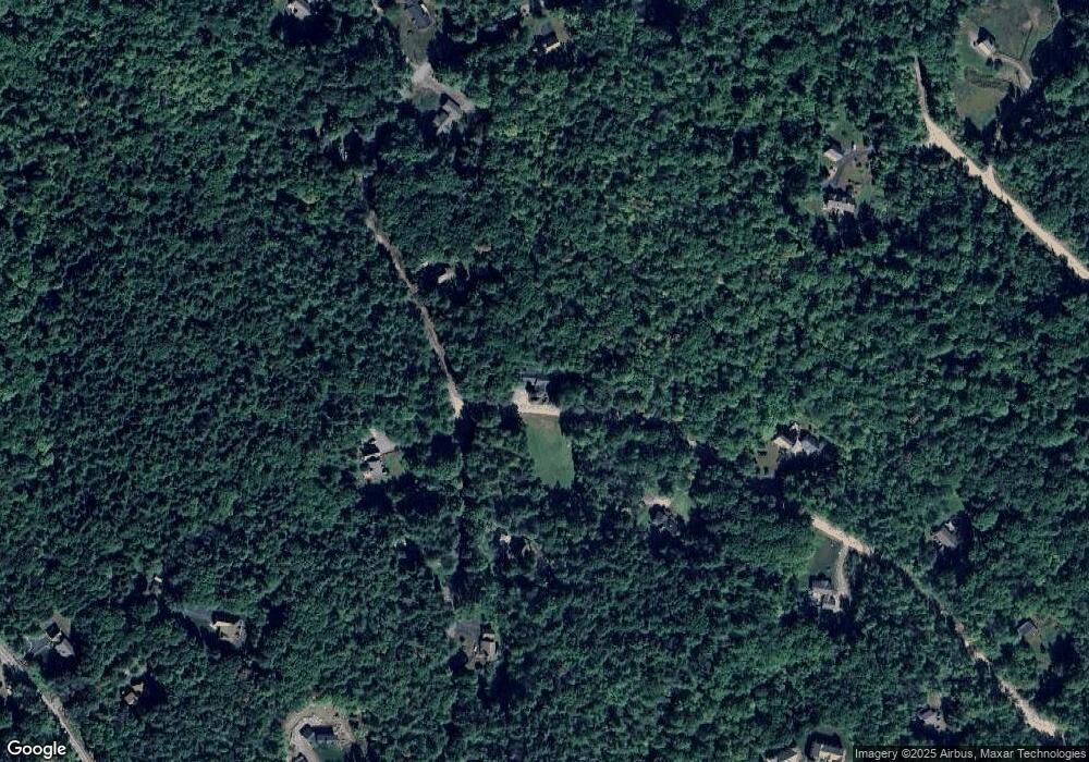
Map
Nearby Homes
- Map S26 Lot 79 Winona Shores Rd
- 60 Winona Rd
- 12 Village Dr Unit 6
- 47 Clover Ridge Rd
- 48 Waukewan Rd
- 80 Hatch Corner Rd
- 70 Hatch Corner Rd
- 21 Upper Ladd Hill Rd
- 21 Upper Ladd Hill Rd Unit B
- 11 & 12 Highland St
- 12 Highland St
- 133 Main St
- 135 Main St
- 15 Highland St
- 11 Highland St
- 23 Pleasant St Unit 1-1
- 106 Tracy Way
- 1 E Bluff Highlands Unit 18
- 5 S Watch Rd
- 7 Mudgett Ave
- 0 Robin Way Unit 20
- 41 Winona Shores Rd
- 25 Winona Shores Rd
- 25 Winona Shores Rd
- 25 Winona Shores Rd
- 32 Winona Shores Rd
- 37 Robin Way
- 15 Robin Way
- 22 Winona Shores Rd
- 51 Winona Shores Rd
- 21 Winona Shores Rd
- Lot #20 Robin Way
- 16 Robin Way
- 46 Winona Shores Rd
- 57 Winona Shores Rd
- 42 Wall St
- 3 Forest Hill Rd
- 0 Winona Shores Rd Unit 4859281
- LOT 45 Winona Shores Rd Unit 45
- 0 Winona Shores Rd Unit S26/74 4819172
Your Personal Tour Guide
Ask me questions while you tour the home.