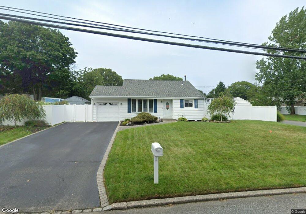
4 Roe Ave Port Jefferson Station, NY 11776
Estimated Value: $519,000 - $551,748
3
Beds
1
Bath
1,237
Sq Ft
$429/Sq Ft
Est. Value
About This Home
This home is located at 4 Roe Ave, Port Jefferson Station, NY 11776 and is currently estimated at $530,937, approximately $429 per square foot. 4 Roe Ave is a home located in Suffolk County with nearby schools including John F Kennedy Middle School and Comsewogue High School.
Ownership History
Date
Name
Owned For
Owner Type
Purchase Details
Closed on
Jan 31, 2007
Sold by
Lyden Denise F
Bought by
Bianco Martin J
Current Estimated Value
Purchase Details
Closed on
May 23, 2003
Sold by
Lyden Denise F and Barr Tracey D
Bought by
Lyden Denise F
Home Financials for this Owner
Home Financials are based on the most recent Mortgage that was taken out on this home.
Original Mortgage
$6,003
Interest Rate
6.05%
Mortgage Type
Purchase Money Mortgage
Purchase Details
Closed on
Jun 15, 2001
Sold by
Lyden Robert S and Lyden Denise F
Bought by
Lyden Denise F and Barr Tracey D
Home Financials for this Owner
Home Financials are based on the most recent Mortgage that was taken out on this home.
Original Mortgage
$164,600
Interest Rate
7.14%
Mortgage Type
FHA
Purchase Details
Closed on
Aug 3, 1999
Sold by
Ducker Kenneth F and Ducker Ellen R
Bought by
Lyden Robert S and Lyden Denise F
Home Financials for this Owner
Home Financials are based on the most recent Mortgage that was taken out on this home.
Original Mortgage
$127,000
Interest Rate
7.54%
Mortgage Type
FHA
Create a Home Valuation Report for This Property
The Home Valuation Report is an in-depth analysis detailing your home's value as well as a comparison with similar homes in the area
Home Values in the Area
Average Home Value in this Area
Purchase History
| Date | Buyer | Sale Price | Title Company |
|---|---|---|---|
| Bianco Martin J | $320,000 | Dan Baldi | |
| Lyden Denise F | -- | Commonwealth Land Title Ins | |
| Lyden Denise F | -- | Fidelity National Title Ins | |
| Lyden Robert S | $129,000 | -- |
Source: Public Records
Mortgage History
| Date | Status | Borrower | Loan Amount |
|---|---|---|---|
| Previous Owner | Lyden Denise F | $6,003 | |
| Previous Owner | Lyden Denise F | $164,600 | |
| Previous Owner | Lyden Robert S | $127,000 |
Source: Public Records
Tax History Compared to Growth
Tax History
| Year | Tax Paid | Tax Assessment Tax Assessment Total Assessment is a certain percentage of the fair market value that is determined by local assessors to be the total taxable value of land and additions on the property. | Land | Improvement |
|---|---|---|---|---|
| 2024 | $7,817 | $2,050 | $150 | $1,900 |
| 2023 | $7,817 | $2,050 | $150 | $1,900 |
| 2022 | $6,825 | $2,050 | $150 | $1,900 |
| 2021 | $6,825 | $2,050 | $150 | $1,900 |
| 2020 | $7,015 | $2,050 | $150 | $1,900 |
| 2019 | $7,015 | $0 | $0 | $0 |
| 2018 | $6,662 | $2,050 | $150 | $1,900 |
| 2017 | $6,662 | $2,050 | $150 | $1,900 |
| 2016 | $6,609 | $2,050 | $150 | $1,900 |
| 2015 | -- | $2,050 | $150 | $1,900 |
| 2014 | -- | $2,050 | $150 | $1,900 |
Source: Public Records
Map
Nearby Homes
- 31 Colony Rd
- 1 Dillon Ave
- 1506 Nicole Dr
- 1704 Nicole Dr
- 204 Caroline Ct
- 484 Bicycle Path
- 10 Orchid Dr
- 110 Clinton Ave
- 27 Parkridge Cir
- 507 Constance Ln
- 903 Constance Ln
- 122 Stuyvesant Dr
- 6 13th St
- 132 Clinton Ave
- 117 Stuyvesant Dr
- 5 Lincoln St
- 138 Greene Ave
- 38 Charter Rd
- 10 Woodbine St
- 51 Justin Cir