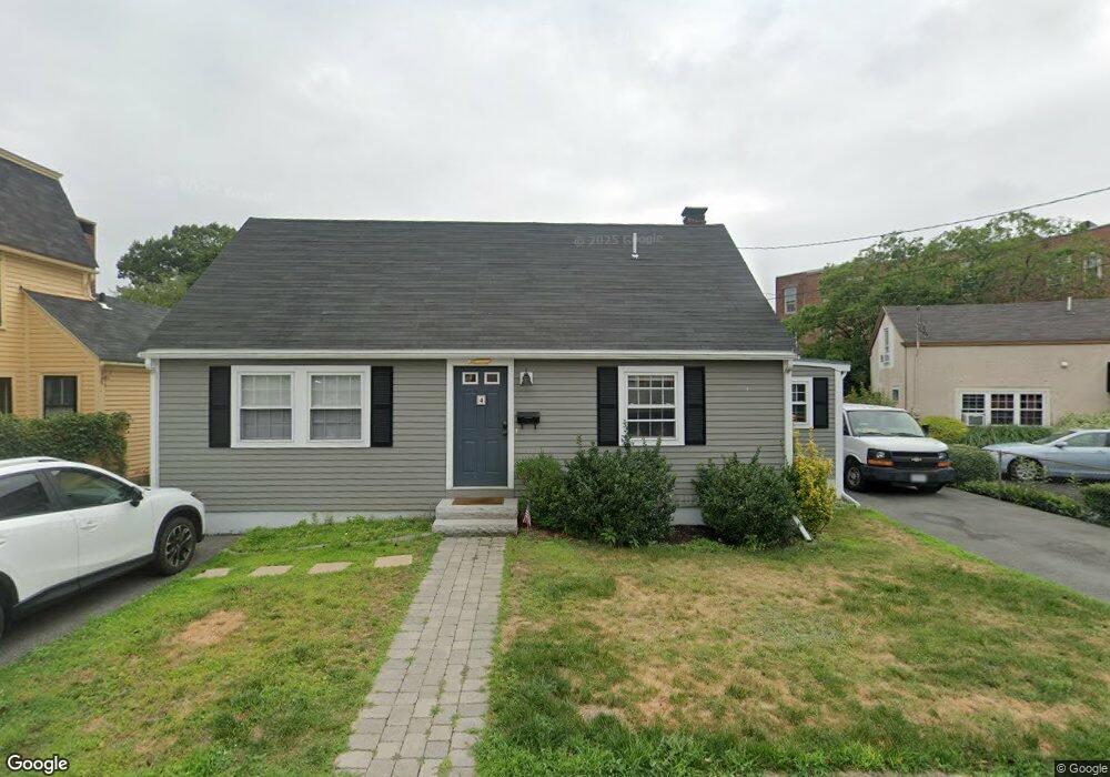
4 S Pine St Unit A Salem, MA 01970
Downtown Salem NeighborhoodEstimated Value: $653,000 - $779,000
3
Beds
2
Baths
1,500
Sq Ft
$473/Sq Ft
Est. Value
About This Home
This home is located at 4 S Pine St Unit A, Salem, MA 01970 and is currently estimated at $709,978, approximately $473 per square foot. 4 S Pine St Unit A is a home located in Essex County with nearby schools including Horace Mann Laboratory, Saltonstall School, and Carlton Elementary School.
Ownership History
Date
Name
Owned For
Owner Type
Purchase Details
Closed on
May 19, 2016
Sold by
Versey Scott A and Us Bank Na Tr
Bought by
Us Bank Na Tr
Current Estimated Value
Purchase Details
Closed on
Nov 25, 2002
Sold by
Silvia T 1986 and Lundregan
Bought by
Vesey Scott A and Hudson Leah M
Home Financials for this Owner
Home Financials are based on the most recent Mortgage that was taken out on this home.
Original Mortgage
$191,200
Interest Rate
6.07%
Mortgage Type
Purchase Money Mortgage
Create a Home Valuation Report for This Property
The Home Valuation Report is an in-depth analysis detailing your home's value as well as a comparison with similar homes in the area
Home Values in the Area
Average Home Value in this Area
Purchase History
| Date | Buyer | Sale Price | Title Company |
|---|---|---|---|
| Us Bank Na Tr | $247,098 | -- | |
| Vesey Scott A | $239,000 | -- |
Source: Public Records
Mortgage History
| Date | Status | Borrower | Loan Amount |
|---|---|---|---|
| Previous Owner | Vesey Scott A | $245,940 | |
| Previous Owner | Vesey Scott A | $191,200 |
Source: Public Records
Tax History
| Year | Tax Paid | Tax Assessment Tax Assessment Total Assessment is a certain percentage of the fair market value that is determined by local assessors to be the total taxable value of land and additions on the property. | Land | Improvement |
|---|---|---|---|---|
| 2025 | $6,341 | $559,200 | $240,500 | $318,700 |
| 2024 | $6,321 | $544,000 | $223,400 | $320,600 |
| 2023 | $6,131 | $490,100 | $206,200 | $283,900 |
| 2022 | $6,063 | $457,600 | $194,700 | $262,900 |
| 2021 | $5,872 | $425,500 | $194,700 | $230,800 |
| 2020 | $6,208 | $429,600 | $194,700 | $234,900 |
| 2019 | $6,587 | $436,200 | $189,000 | $247,200 |
| 2018 | $6,564 | $426,800 | $180,400 | $246,400 |
| 2017 | $5,673 | $357,700 | $163,200 | $194,500 |
| 2016 | $4,826 | $308,000 | $163,200 | $144,800 |
| 2015 | $4,697 | $286,200 | $151,800 | $134,400 |
Source: Public Records
Map
Nearby Homes
- 18 Dalton Pkwy Unit 18
- 145 Federal St Unit 3
- 15 Phelps St Unit 1
- 16 Phelps St Unit 16-1
- 23 Proctor St
- 15 Francis Rd
- 82 Flint St
- 23 River St
- 86 Flint St
- 22 Prescott St Unit 1
- 12 Varney St
- 11 Summer St
- 111 Mason St
- 17 North St Unit 2
- 289 Essex St Unit 211
- 289 Essex St Unit 308
- 24 Norman St Unit 110
- 1 Dunlap St
- 49 Federal St Unit 2
- 3 S Mason St
Your Personal Tour Guide
Ask me questions while you tour the home.