4 S Shore Dr Addison, MI 49220
Estimated Value: $348,813 - $429,000
3
Beds
2
Baths
1,901
Sq Ft
$205/Sq Ft
Est. Value
About This Home
This home is located at 4 S Shore Dr, Addison, MI 49220 and is currently estimated at $389,271, approximately $204 per square foot. 4 S Shore Dr is a home located in Lenawee County with nearby schools including Columbia Lower Elementary School, Columbia Upper Elementary School, and Columbia Central Jr./Sr. High School.
Ownership History
Date
Name
Owned For
Owner Type
Purchase Details
Closed on
Aug 12, 2016
Sold by
Unterfenger George F and Unterfenger George Frederick
Bought by
Unterfenger George F and Unterfenger Elaine Marie
Current Estimated Value
Purchase Details
Closed on
Nov 2, 2011
Sold by
Emerson Hoyt J and Emerson Martha L
Bought by
Unterfenger George F and Unterfenger Elaine M
Home Financials for this Owner
Home Financials are based on the most recent Mortgage that was taken out on this home.
Original Mortgage
$206,000
Outstanding Balance
$20,770
Interest Rate
3.97%
Mortgage Type
New Conventional
Estimated Equity
$368,501
Create a Home Valuation Report for This Property
The Home Valuation Report is an in-depth analysis detailing your home's value as well as a comparison with similar homes in the area
Home Values in the Area
Average Home Value in this Area
Purchase History
| Date | Buyer | Sale Price | Title Company |
|---|---|---|---|
| Unterfenger George F | -- | None Available | |
| Unterfenger George F | $257,500 | Atcl |
Source: Public Records
Mortgage History
| Date | Status | Borrower | Loan Amount |
|---|---|---|---|
| Open | Unterfenger George F | $206,000 |
Source: Public Records
Tax History Compared to Growth
Tax History
| Year | Tax Paid | Tax Assessment Tax Assessment Total Assessment is a certain percentage of the fair market value that is determined by local assessors to be the total taxable value of land and additions on the property. | Land | Improvement |
|---|---|---|---|---|
| 2025 | $4,073 | $161,200 | $0 | $0 |
| 2024 | $1,406 | $168,600 | $0 | $0 |
| 2023 | -- | $152,200 | $0 | $0 |
| 2022 | $2,990 | $114,500 | $0 | $0 |
| 2021 | $2,984 | $118,100 | $0 | $0 |
| 2020 | $2,834 | $108,000 | $0 | $0 |
| 2019 | $340,362 | $108,000 | $0 | $0 |
| 2018 | $3,104 | $71,723 | $0 | $0 |
| 2017 | $2,954 | $72,251 | $0 | $0 |
| 2016 | $2,934 | $71,053 | $0 | $0 |
| 2014 | -- | $53,401 | $0 | $0 |
Source: Public Records
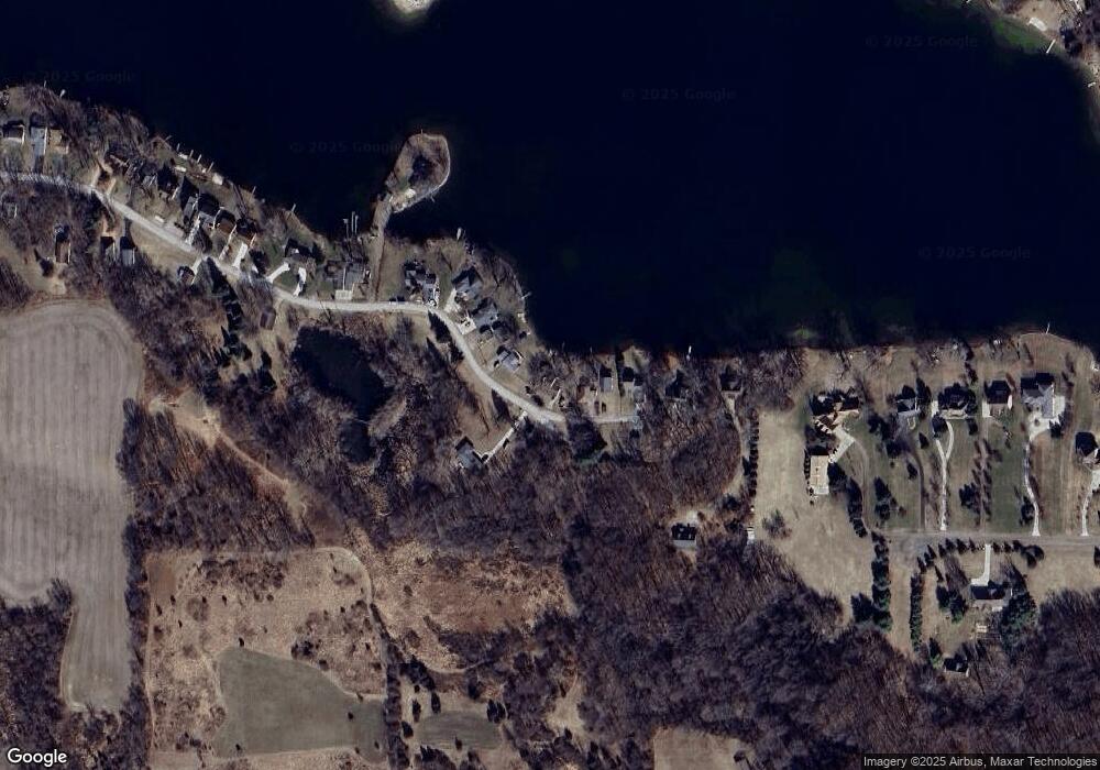
Map
Nearby Homes
- 186 Harris Dr
- 15816 Sanford Rd
- 17430 U S 12
- 14800 Canary Ct
- 900 Pamawa Dr
- 17475 U S 223
- 61 Pamawa Dr
- Lot 62 Pamawa Dr
- 9304 Parkhurst Hwy
- 15255 Wheaton Rd
- 10911 Devils Lake Hwy
- 407 Potter St
- 319 Neil St
- 8000 Parkhurst Hwy Unit Carroll Dr ((1175)
- 15499 Cement City Rd
- 506 Lewis Rd
- 129 Kathy Ln
- 16424 N Rollin Hwy
- 120 Kathy Ln
- 287 Somerset Dr
- 4 Brooks Shore S
- 4 Brooks Southshore Dr
- 2 Brooks Southshore Dr
- 5 Brooks Southshore Dr
- 9 Brooks Southshore Dr
- 8 Brooks Southshore Dr
- 1 S Shore Dr
- 6 S Shore Dr
- 6 Brooks Southshore Dr
- 11 Brooks Southshore Dr
- 40 Brooks Southshore Dr
- 38 Brooks Southshore Dr
- 40 Brooks Southshore Dr
- 26 Brooks Southshore Dr
- 25 Brooks Southshore Dr
- 25 S Shore Dr
- 27 Brooks Southshore Dr
- 23 Brooks Southshore Dr
- 23 S Shore Dr
- 15 Brooks Southshore Dr