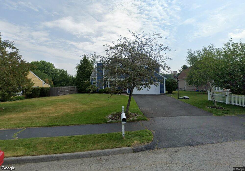
4 Sandpiper Dr Unit 1 Shrewsbury, MA 01545
Estimated Value: $879,763 - $997,000
3
Beds
3
Baths
3,316
Sq Ft
$281/Sq Ft
Est. Value
About This Home
This home is located at 4 Sandpiper Dr Unit 1, Shrewsbury, MA 01545 and is currently estimated at $932,941, approximately $281 per square foot. 4 Sandpiper Dr Unit 1 is a home located in Worcester County with nearby schools including Sherwood Middle School, Calvin Coolidge Elementary School, and Oak Middle School.
Ownership History
Date
Name
Owned For
Owner Type
Purchase Details
Closed on
Oct 14, 2011
Sold by
Piperdi Bilal and Piperdi May
Bought by
Hoemann Michael and Hoemann Jennifer
Current Estimated Value
Home Financials for this Owner
Home Financials are based on the most recent Mortgage that was taken out on this home.
Original Mortgage
$340,800
Interest Rate
4.25%
Mortgage Type
Purchase Money Mortgage
Purchase Details
Closed on
May 16, 2005
Sold by
Commito Carmelina M and Commito David P
Bought by
Piperdi Bilal and Piperdi May
Purchase Details
Closed on
Jun 2, 1994
Sold by
Robo Properties Ltd
Bought by
Commito David P and Commito Carmelina
Purchase Details
Closed on
May 19, 1994
Sold by
Ternberry Dev Corp
Bought by
Robo Properties Inc
Create a Home Valuation Report for This Property
The Home Valuation Report is an in-depth analysis detailing your home's value as well as a comparison with similar homes in the area
Home Values in the Area
Average Home Value in this Area
Purchase History
| Date | Buyer | Sale Price | Title Company |
|---|---|---|---|
| Hoemann Michael | $426,000 | -- | |
| Hoemann Michael | $426,000 | -- | |
| Hoemann Michael | $426,000 | -- | |
| Piperdi Bilal | $477,400 | -- | |
| Piperdi Bilal | $477,400 | -- | |
| Piperdi Bilal | $477,400 | -- | |
| Commito David P | $174,900 | -- | |
| Commito David P | $174,900 | -- | |
| Robo Properties Inc | $138,000 | -- | |
| Robo Properties Inc | $138,000 | -- |
Source: Public Records
Mortgage History
| Date | Status | Borrower | Loan Amount |
|---|---|---|---|
| Open | Robo Properties Inc | $325,000 | |
| Closed | Hoemann Michael | $340,800 |
Source: Public Records
Tax History Compared to Growth
Tax History
| Year | Tax Paid | Tax Assessment Tax Assessment Total Assessment is a certain percentage of the fair market value that is determined by local assessors to be the total taxable value of land and additions on the property. | Land | Improvement |
|---|---|---|---|---|
| 2025 | $92 | $762,100 | $275,000 | $487,100 |
| 2024 | $9,274 | $749,100 | $261,900 | $487,200 |
| 2023 | $8,754 | $667,200 | $261,900 | $405,300 |
| 2022 | $8,085 | $573,000 | $232,800 | $340,200 |
| 2021 | $7,181 | $544,400 | $232,800 | $311,600 |
| 2020 | $6,716 | $538,600 | $232,800 | $305,800 |
| 2019 | $6,465 | $514,300 | $221,500 | $292,800 |
| 2018 | $6,420 | $507,100 | $202,000 | $305,100 |
| 2017 | $6,140 | $478,600 | $183,000 | $295,600 |
| 2016 | $6,210 | $477,700 | $171,000 | $306,700 |
| 2015 | $5,826 | $441,400 | $141,400 | $300,000 |
Source: Public Records
Map
Nearby Homes
- 7 Tern Dr
- 10 Crane Cir
- 15 Eagle Dr
- 40 Phillips Ave
- 5 Fyrbeck Ave
- 15 Eaglehead Terrace Unit 5
- 19 Eaglehead Terrace Unit 2
- 19 Eaglehead Terrace Unit 4
- 6 Selina St
- 67 N Quinsigamond Ave Unit 23
- 163 N Lake Ave Unit A
- 163 N Lake Ave
- 14 Minuteman Way
- 46 N Quinsigamond Ave
- 190 Dominion Rd
- 46 Dominion Rd
- 64 Wauwinet Rd
- 5A Wigwam Hill Dr Unit A
- 8 Beach Rd
- 307 Main St