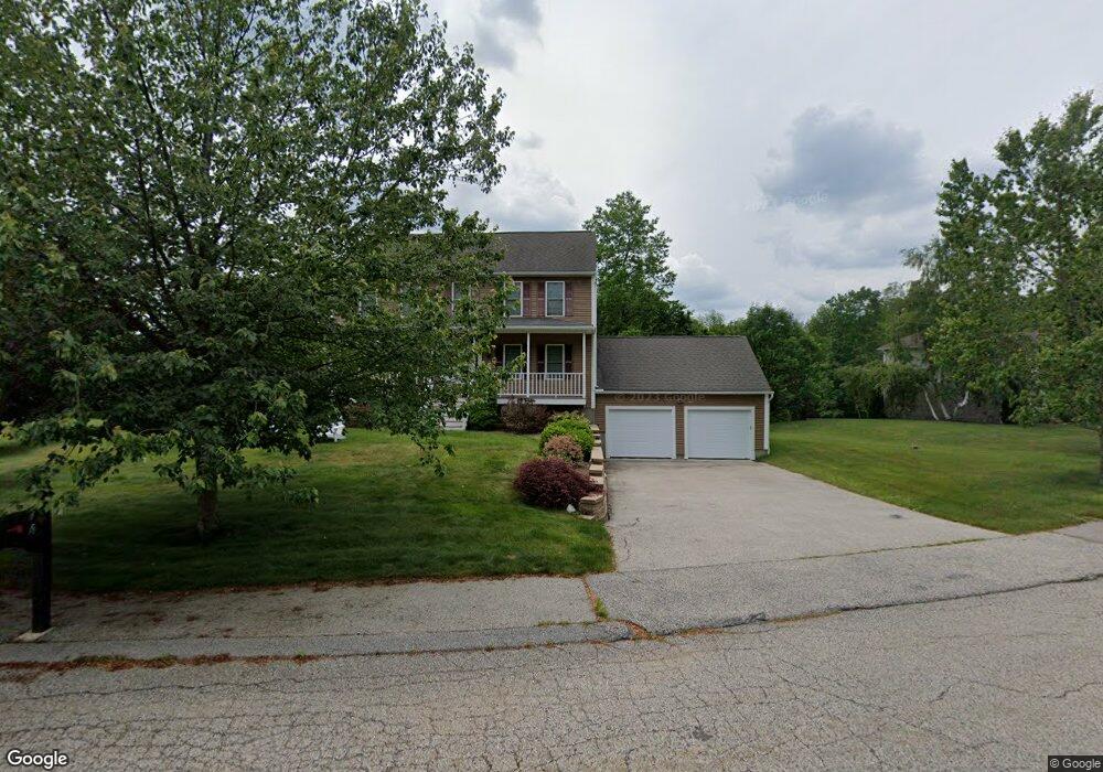
4 Sconset Ave Leicester, MA 01524
Estimated Value: $584,137 - $626,000
3
Beds
3
Baths
2,032
Sq Ft
$299/Sq Ft
Est. Value
About This Home
This home is located at 4 Sconset Ave, Leicester, MA 01524 and is currently estimated at $608,284, approximately $299 per square foot. 4 Sconset Ave is a home located in Worcester County with nearby schools including Leicester Integrated Preschool, Leicester Memorial Elementary School, and Leicester Middle School.
Ownership History
Date
Name
Owned For
Owner Type
Purchase Details
Closed on
Sep 24, 2004
Sold by
Schold Matthew K
Bought by
Gahagan John J and Gahagan Patricia A
Current Estimated Value
Home Financials for this Owner
Home Financials are based on the most recent Mortgage that was taken out on this home.
Original Mortgage
$328,000
Outstanding Balance
$163,747
Interest Rate
5.89%
Mortgage Type
Purchase Money Mortgage
Estimated Equity
$444,537
Create a Home Valuation Report for This Property
The Home Valuation Report is an in-depth analysis detailing your home's value as well as a comparison with similar homes in the area
Home Values in the Area
Average Home Value in this Area
Purchase History
| Date | Buyer | Sale Price | Title Company |
|---|---|---|---|
| Gahagan John J | $110,000 | -- |
Source: Public Records
Mortgage History
| Date | Status | Borrower | Loan Amount |
|---|---|---|---|
| Open | Gahagan John J | $328,000 |
Source: Public Records
Tax History Compared to Growth
Tax History
| Year | Tax Paid | Tax Assessment Tax Assessment Total Assessment is a certain percentage of the fair market value that is determined by local assessors to be the total taxable value of land and additions on the property. | Land | Improvement |
|---|---|---|---|---|
| 2025 | $62 | $530,500 | $82,600 | $447,900 |
| 2024 | $5,979 | $476,400 | $71,100 | $405,300 |
| 2023 | $5,638 | $438,400 | $71,100 | $367,300 |
| 2022 | $5,414 | $387,000 | $67,600 | $319,400 |
| 2021 | $5,884 | $388,900 | $74,700 | $314,200 |
| 2020 | $5,421 | $363,600 | $70,700 | $292,900 |
| 2019 | $5,263 | $349,000 | $64,100 | $284,900 |
| 2018 | $5,017 | $311,800 | $64,100 | $247,700 |
| 2017 | $4,776 | $308,500 | $64,100 | $244,400 |
| 2016 | $4,342 | $291,400 | $67,500 | $223,900 |
| 2015 | $4,237 | $291,400 | $67,500 | $223,900 |
Source: Public Records
Map
Nearby Homes
- Lot A Paxton St
- 350 Marshall St
- 390 Marshall St
- 68 Lake Ave
- 0 Hawthorne St Unit 73444632
- 1472 Main St
- 6 Mccann Place
- 1326 Main St
- 0 S Main St Unit 73392435
- 27 Winslow Ave
- 68 Pine St
- 997 Main St
- 993 Main St
- 1003 Main St
- 80 Rawson St
- 2 Laurel Ln
- 6 Cutler Rd
- 267 Pleasant St
- 22 Donnelly Rd
- 6 Wildwood Ln
- 2 Sconset Ave
- 126 White Birch St
- 5 Sconset Ave
- 3 Sconset Ave
- 132 White Birch St
- 1 Sconset Ave
- 124 White Birch St
- 134 White Birch St
- 3 Sandys Cir
- 123 White Birch St
- 1 Sandys Cir
- 122 White Birch St
- 5 Sandy Cir
- 7 Sandys Cir
- 121 White Birch St
- 120 White Birch St
- LOT 9 Sandy Cir
- LOT 31 Sandy Cir
- Lot 12 Sandy Cir
- Lot 13 Sandy Cir