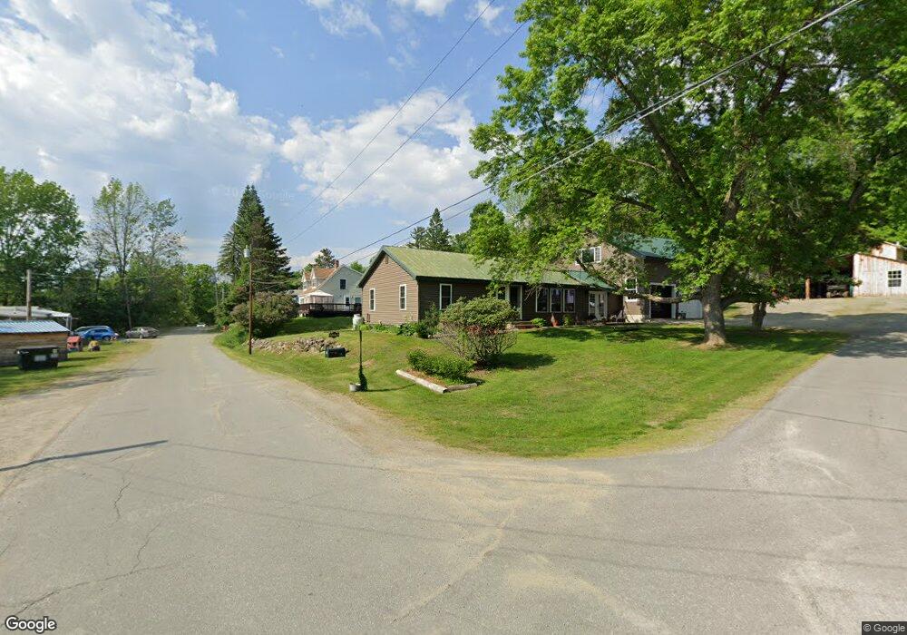
4 Shady Ln Strong, ME 04983
Estimated Value: $192,825 - $249,000
--
Bed
--
Bath
984
Sq Ft
$225/Sq Ft
Est. Value
About This Home
This home is located at 4 Shady Ln, Strong, ME 04983 and is currently estimated at $221,706, approximately $225 per square foot. 4 Shady Ln is a home with nearby schools including Mt. Abram Regional High School.
Create a Home Valuation Report for This Property
The Home Valuation Report is an in-depth analysis detailing your home's value as well as a comparison with similar homes in the area
Home Values in the Area
Average Home Value in this Area
Tax History Compared to Growth
Tax History
| Year | Tax Paid | Tax Assessment Tax Assessment Total Assessment is a certain percentage of the fair market value that is determined by local assessors to be the total taxable value of land and additions on the property. | Land | Improvement |
|---|---|---|---|---|
| 2024 | $2,069 | $117,530 | $20,000 | $97,530 |
| 2023 | $1,880 | $117,530 | $20,000 | $97,530 |
| 2022 | $1,857 | $117,530 | $20,000 | $97,530 |
| 2021 | $1,939 | $117,530 | $20,000 | $97,530 |
| 2020 | $2,010 | $117,530 | $20,000 | $97,530 |
| 2019 | $2,092 | $117,530 | $20,000 | $97,530 |
| 2018 | $1,822 | $117,530 | $20,000 | $97,530 |
| 2017 | $1,692 | $117,530 | $20,000 | $97,530 |
| 2016 | $1,669 | $117,530 | $20,000 | $97,530 |
| 2015 | $1,728 | $117,530 | $20,000 | $97,530 |
| 2013 | $1,364 | $106,590 | $20,000 | $86,590 |
Source: Public Records
Map
Nearby Homes
- U03-68-C Tbd
- 16 Whitetail Dr
- 18 N Main St
- 44 Norton Hill Rd
- 83 Lambert Hill Rd
- 29 River St
- 22 W Freeman Rd
- R-5 13-A Norton Hill Rd
- 162.7 Collins Dr
- 9 Beechnut Ridge
- MR11 L35 Burbank Hill Rd
- 43 Brookside Ln
- Lot 4 Taylor Hill Rd
- 68 S Strong Rd
- 722 Farmington Rd
- 97 Lake St
- MR7 L31&37 Taylor Hill Rd
- Lot 12 Barker Rd
- 152 Johnson Rd
- 4 Cousineaus Tory Hill Heights