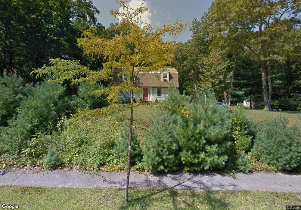
4 Shady Way Norfolk, MA 02056
Estimated Value: $684,605 - $847,000
3
Beds
2
Baths
1,740
Sq Ft
$433/Sq Ft
Est. Value
About This Home
This home is located at 4 Shady Way, Norfolk, MA 02056 and is currently estimated at $752,901, approximately $432 per square foot. 4 Shady Way is a home located in Norfolk County with nearby schools including H. Olive Day School and Freeman-Kennedy School.
Ownership History
Date
Name
Owned For
Owner Type
Purchase Details
Closed on
Oct 19, 2023
Sold by
Power Margaret M
Bought by
Margaret M Power T M and Margaret Power
Current Estimated Value
Purchase Details
Closed on
Apr 6, 1992
Sold by
Ofena Corp
Bought by
Power Mark P and Power Margaret M
Home Financials for this Owner
Home Financials are based on the most recent Mortgage that was taken out on this home.
Original Mortgage
$140,350
Interest Rate
8.73%
Mortgage Type
Purchase Money Mortgage
Create a Home Valuation Report for This Property
The Home Valuation Report is an in-depth analysis detailing your home's value as well as a comparison with similar homes in the area
Home Values in the Area
Average Home Value in this Area
Purchase History
| Date | Buyer | Sale Price | Title Company |
|---|---|---|---|
| Margaret M Power T M | -- | None Available | |
| Power Mark P | $175,470 | -- | |
| Power Mark P | $175,470 | -- |
Source: Public Records
Mortgage History
| Date | Status | Borrower | Loan Amount |
|---|---|---|---|
| Previous Owner | Power Mark P | $56,000 | |
| Previous Owner | Power Mark P | $140,000 | |
| Previous Owner | Power Mark P | $140,350 |
Source: Public Records
Tax History Compared to Growth
Tax History
| Year | Tax Paid | Tax Assessment Tax Assessment Total Assessment is a certain percentage of the fair market value that is determined by local assessors to be the total taxable value of land and additions on the property. | Land | Improvement |
|---|---|---|---|---|
| 2025 | $9,438 | $591,000 | $242,300 | $348,700 |
| 2024 | $9,080 | $583,200 | $242,300 | $340,900 |
| 2023 | $9,043 | $546,600 | $242,300 | $304,300 |
| 2022 | $8,507 | $467,400 | $226,900 | $240,500 |
| 2021 | $8,211 | $456,400 | $220,300 | $236,100 |
| 2020 | $7,808 | $418,900 | $200,500 | $218,400 |
| 2019 | $7,543 | $412,400 | $200,500 | $211,900 |
| 2018 | $7,316 | $392,900 | $200,500 | $192,400 |
| 2017 | $7,202 | $395,300 | $200,500 | $194,800 |
| 2016 | $7,207 | $398,600 | $208,200 | $190,400 |
| 2015 | $6,857 | $388,300 | $195,500 | $192,800 |
| 2014 | $6,611 | $379,300 | $195,500 | $183,800 |
Source: Public Records
Map
Nearby Homes
- 45 King St
- 14 Robin Rd
- 14 Essex St
- 38 Robin Rd
- 26 Ridge Rd
- 45 Joshua Rd
- 23 Fredrickson Rd
- 3 Pheasanthill Rd
- 246 Forest Grove Ave
- 6 Forest Grove Ave
- 48 Mirror Lake Ave
- 2 Diamond St
- 8 Analore Cir
- 10 W Birch Rd
- 50 Reed Fulton Ave Unit Lot 61
- 6 Trailside Way
- 20 Waites Crossing
- 13 Waites Crossing
- 19 Waites Crossing
- 9 Waites Crossing