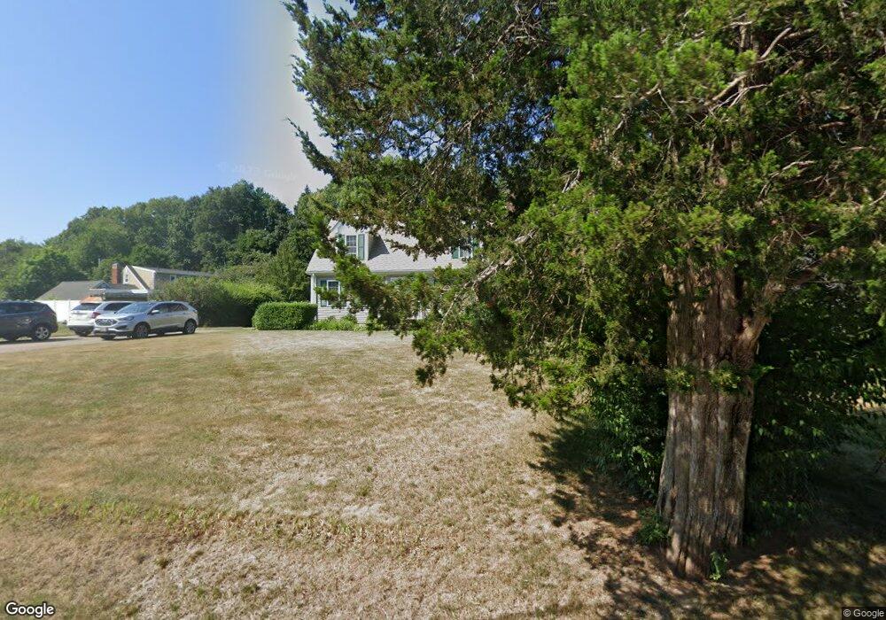
4 Sheridan Cir Attleboro, MA 02703
Estimated Value: $638,000 - $744,000
3
Beds
2
Baths
1,756
Sq Ft
$384/Sq Ft
Est. Value
About This Home
This home is located at 4 Sheridan Cir, Attleboro, MA 02703 and is currently estimated at $674,841, approximately $384 per square foot. 4 Sheridan Cir is a home located in Bristol County with nearby schools including Hyman Fine Elementary School, Wamsutta Middle School, and Attleboro High School.
Ownership History
Date
Name
Owned For
Owner Type
Purchase Details
Closed on
Jan 21, 2016
Sold by
Samson John P and Samson Barbara E
Bought by
Samson Ft
Current Estimated Value
Purchase Details
Closed on
Jun 9, 2000
Sold by
Proulx Ronald J
Bought by
Samson John P and Samson Barbara E
Home Financials for this Owner
Home Financials are based on the most recent Mortgage that was taken out on this home.
Original Mortgage
$172,000
Interest Rate
8.12%
Mortgage Type
Purchase Money Mortgage
Purchase Details
Closed on
Jan 26, 2000
Sold by
Parenteau Kathryn
Bought by
Proulx Ronald J
Home Financials for this Owner
Home Financials are based on the most recent Mortgage that was taken out on this home.
Original Mortgage
$123,000
Interest Rate
7.83%
Mortgage Type
Purchase Money Mortgage
Create a Home Valuation Report for This Property
The Home Valuation Report is an in-depth analysis detailing your home's value as well as a comparison with similar homes in the area
Home Values in the Area
Average Home Value in this Area
Purchase History
| Date | Buyer | Sale Price | Title Company |
|---|---|---|---|
| Samson Ft | -- | -- | |
| Samson John P | $215,000 | -- | |
| Proulx Ronald J | $58,000 | -- |
Source: Public Records
Mortgage History
| Date | Status | Borrower | Loan Amount |
|---|---|---|---|
| Previous Owner | Proulx Ronald J | $156,000 | |
| Previous Owner | Proulx Ronald J | $180,000 | |
| Previous Owner | Proulx Ronald J | $172,000 | |
| Previous Owner | Proulx Ronald J | $123,000 |
Source: Public Records
Tax History Compared to Growth
Tax History
| Year | Tax Paid | Tax Assessment Tax Assessment Total Assessment is a certain percentage of the fair market value that is determined by local assessors to be the total taxable value of land and additions on the property. | Land | Improvement |
|---|---|---|---|---|
| 2025 | $7,056 | $562,200 | $174,400 | $387,800 |
| 2024 | $6,576 | $516,600 | $157,000 | $359,600 |
| 2023 | $6,333 | $462,600 | $158,600 | $304,000 |
| 2022 | $5,958 | $412,300 | $151,200 | $261,100 |
| 2021 | $5,661 | $382,500 | $145,400 | $237,100 |
| 2020 | $5,360 | $368,100 | $138,800 | $229,300 |
| 2019 | $5,038 | $355,800 | $136,200 | $219,600 |
| 2018 | $4,771 | $321,900 | $132,200 | $189,700 |
| 2017 | $4,559 | $313,300 | $128,800 | $184,500 |
| 2016 | $4,329 | $292,100 | $120,200 | $171,900 |
| 2015 | $4,078 | $277,200 | $120,200 | $157,000 |
| 2014 | $3,980 | $268,000 | $115,000 | $153,000 |
Source: Public Records
Map
Nearby Homes
- 44 Winterberry Ln
- 8 Preservation Way
- 125 Steere St
- 240 Smith St
- 38 Springdale Ave
- 3 Wilmarth St
- 86 Woodstock Rd
- 60 Metacommett Dr
- 99 Brigham Hill Rd
- 1325 Park St
- 45 Spruce Ln
- 8 Kasmira Way
- 7 Stevens Field Rd
- 1080 Oakhill Ave
- 2 Nicole Way
- 0 Sunflower Dr
- 19 Cherry Tree Ln
- 278 East St
- 182 John Scott Blvd
- 180 Pike Ave
- 6 Sheridan Cir
- 5 Sheridan Cir
- 386 Wilmarth St
- 396 Wilmarth St
- 8 Sheridan Cir
- 11 Sheridan Cir
- 378 Wilmarth St
- 3 Sheridan Cir
- 1 Sheridan Cir
- 370 Wilmarth St
- 370R Wilmarth St
- 1059 Pike Ave
- 10 Sheridan Cir
- 416 Wilmarth St
- 1037 Pike Ave
- 358 Wilmarth St
- 407 Wilmarth St
- 424 Wilmarth St
- 401 Wilmarth St
- 415 Wilmarth St