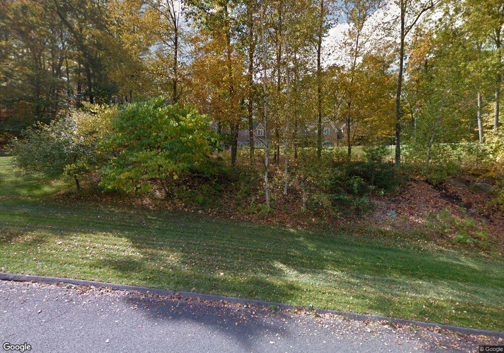
4 Sherwood Hill Rd Sherman, CT 06784
Estimated Value: $1,735,857 - $3,425,000
4
Beds
5
Baths
6,562
Sq Ft
$383/Sq Ft
Est. Value
About This Home
This home is located at 4 Sherwood Hill Rd, Sherman, CT 06784 and is currently estimated at $2,510,964, approximately $382 per square foot. 4 Sherwood Hill Rd is a home located in Fairfield County with nearby schools including Sherman School.
Ownership History
Date
Name
Owned For
Owner Type
Purchase Details
Closed on
Apr 10, 2003
Sold by
Gamper Robert G and Gamper Virginia A
Bought by
Crowley Andrea Q and Weber Mark
Current Estimated Value
Purchase Details
Closed on
Oct 7, 1999
Sold by
Highland Lp
Bought by
Gamper Robert G and Gamper Virginia A
Create a Home Valuation Report for This Property
The Home Valuation Report is an in-depth analysis detailing your home's value as well as a comparison with similar homes in the area
Home Values in the Area
Average Home Value in this Area
Purchase History
| Date | Buyer | Sale Price | Title Company |
|---|---|---|---|
| Crowley Andrea Q | $250,000 | -- | |
| Gamper Robert G | $147,700 | -- |
Source: Public Records
Mortgage History
| Date | Status | Borrower | Loan Amount |
|---|---|---|---|
| Open | Gamper Robert G | $483,000 | |
| Closed | Gamper Robert G | $540,826 | |
| Closed | Gamper Robert G | $566,000 |
Source: Public Records
Tax History Compared to Growth
Tax History
| Year | Tax Paid | Tax Assessment Tax Assessment Total Assessment is a certain percentage of the fair market value that is determined by local assessors to be the total taxable value of land and additions on the property. | Land | Improvement |
|---|---|---|---|---|
| 2025 | $12,294 | $737,500 | $318,700 | $418,800 |
| 2024 | $12,066 | $737,500 | $318,700 | $418,800 |
| 2023 | $13,142 | $737,500 | $318,700 | $418,800 |
| 2022 | $13,408 | $737,500 | $318,700 | $418,800 |
| 2021 | $13,747 | $737,500 | $318,700 | $418,800 |
| 2020 | $8,812 | $737,500 | $318,700 | $418,800 |
| 2019 | $14,610 | $737,500 | $318,700 | $418,800 |
| 2018 | $15,243 | $749,800 | $318,600 | $431,200 |
| 2017 | $8,524 | $749,800 | $318,600 | $431,200 |
| 2016 | $15,244 | $749,840 | $318,640 | $431,200 |
| 2015 | $15,027 | $749,840 | $318,640 | $431,200 |
| 2014 | $14,877 | $749,840 | $318,640 | $431,200 |
Source: Public Records
Map
Nearby Homes
- 0 Rte 39 South State Route
- 0 Wagon Wheel Rd Unit 24065102
- 5 Stone Wall Ln
- 7 Glenview Dr
- 8 Candleview Dr
- 5 Sail Harbour Dr
- 4 Deer Run Trail
- 8 Ledgewood Dr
- 7 Candle Hill Rd
- 2 Pleasant View Rd
- 54 Lavelle Ave
- 15 Misty Brook Ln
- 14 Cherry Dr
- 4 Harbour View Dr
- 32 Sail Harbour Dr
- 15 Flak Ln
- 35 Candle Hill Rd
- 18 Fox Run
- 35 Skyline Dr
- 86 Connecticut 37
- 5 Sherwood Hill Rd
- 81 Route 39 S
- 85 Route 39 S
- 7 Sherwood Hill Rd
- 77 Route 39 S
- 8 Sherwood Hill Rd
- 16 Orchard Rest Rd
- 2 Sherwood Hill Rd
- 3 Sherwood Hill Rd
- 18 Orchard Rest Rd
- 20 Orchard Rest Rd
- 9 Sherwood Hill Rd
- 22 Orchard Rest Rd
- 9 Chestnut Hill Rd
- 12 Sherwood Hill Rd
- 29 Orchard Rest Rd
- 27 Orchard Rest Rd
- 33 Orchard Rest Rd
- 96 Route 39 S