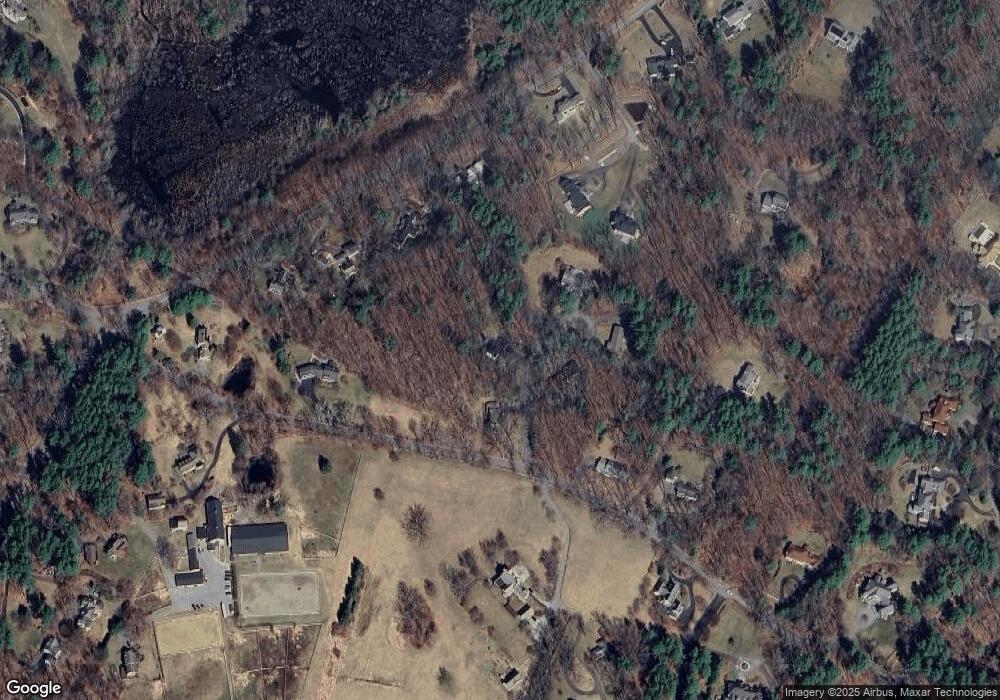
4 Simon Hapgood Ln Concord, MA 01742
Estimated Value: $1,085,527 - $1,549,000
5
Beds
3
Baths
2,240
Sq Ft
$604/Sq Ft
Est. Value
About This Home
This home is located at 4 Simon Hapgood Ln, Concord, MA 01742 and is currently estimated at $1,351,882, approximately $603 per square foot. 4 Simon Hapgood Ln is a home with nearby schools including Acton-Boxborough Regional High School, Nashoba Brooks School, and Middlesex School.
Ownership History
Date
Name
Owned For
Owner Type
Purchase Details
Closed on
Sep 1, 2000
Sold by
Wyss David A and Wyss Grace H
Bought by
Mubarek Stephen M and Mariano Tamara
Current Estimated Value
Home Financials for this Owner
Home Financials are based on the most recent Mortgage that was taken out on this home.
Original Mortgage
$354,000
Interest Rate
8.16%
Mortgage Type
Purchase Money Mortgage
Create a Home Valuation Report for This Property
The Home Valuation Report is an in-depth analysis detailing your home's value as well as a comparison with similar homes in the area
Home Values in the Area
Average Home Value in this Area
Purchase History
| Date | Buyer | Sale Price | Title Company |
|---|---|---|---|
| Mubarek Stephen M | $442,500 | -- |
Source: Public Records
Mortgage History
| Date | Status | Borrower | Loan Amount |
|---|---|---|---|
| Open | Mubarek Stephen M | $90,390 | |
| Open | Mubarek Stephen M | $395,000 | |
| Closed | Mubarek Stephen M | $354,000 |
Source: Public Records
Tax History Compared to Growth
Tax History
| Year | Tax Paid | Tax Assessment Tax Assessment Total Assessment is a certain percentage of the fair market value that is determined by local assessors to be the total taxable value of land and additions on the property. | Land | Improvement |
|---|---|---|---|---|
| 2025 | $14,758 | $860,500 | $421,000 | $439,500 |
| 2024 | $13,879 | $832,600 | $421,000 | $411,600 |
| 2023 | $13,504 | $769,000 | $383,200 | $385,800 |
| 2022 | $12,808 | $658,500 | $332,800 | $325,700 |
| 2021 | $12,472 | $616,500 | $308,000 | $308,500 |
| 2020 | $11,779 | $612,200 | $308,000 | $304,200 |
| 2019 | $11,473 | $592,300 | $308,000 | $284,300 |
| 2018 | $11,306 | $583,400 | $308,000 | $275,400 |
| 2017 | $11,034 | $578,900 | $308,000 | $270,900 |
| 2016 | $10,876 | $565,600 | $308,000 | $257,600 |
| 2015 | $10,689 | $561,100 | $308,000 | $253,100 |
| 2014 | $10,571 | $543,500 | $308,000 | $235,500 |
Source: Public Records
Map
Nearby Homes
- 104 Channing Rd
- 19 Whippoorwill Ln
- 134 Pope Rd
- 56 Isaac Davis Rd
- 1 Bayberry Rd
- 1 Quarry Rd
- 709 Main St
- 388 Great Rd Unit B14
- 386 Great Rd Unit A8
- 495 Hugh Cargill Rd
- 524 Main St
- 390 Great Rd Unit B16
- 79-81 Assabet Ave
- 491 Main St
- 244 Musterfield Rd
- 159 Skyline Dr Unit 159
- 927 Main St
- 875 Acton St
- 60 Lawsbrook Rd
- 46 Taylor Rd
- 6 Simon Hapgood Ln
- 5 Simon Hapgood Ln
- 2 Simon Hapgood Ln
- 1 Simon Hapgood Ln
- 2 Simon Hapgood Ln
- 6 Simon Hapgood Ln
- 219 Pope Rd
- 150 Strawberry Hill Rd
- 221 Pope Rd
- 211 Pope Rd
- 136 Strawberry Hill Rd
- 247 & 249 Pope Rd
- 205 Pope Rd
- 217 Pope Rd
- 145 Strawberry Hill Rd
- 862 Strawberry Hill Rd
- 874 Strawberry Hill Rd
- 237 Pope Rd
- 135 Strawberry Hill Rd
- 126 Strawberry Hill Rd
