Estimated Value: $345,018 - $698,000
3
Beds
3
Baths
--
Sq Ft
10,585
Sq Ft
About This Home
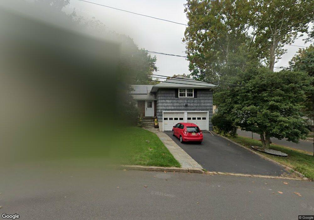
This home is located at 4 Skyview Rd, Union, NJ 07083 and is currently estimated at $586,255. 4 Skyview Rd is a home located in Union County with nearby schools including Livingston Elementary School, Union High School, and St Michael Parish School.
Ownership History
Date
Name
Owned For
Owner Type
Purchase Details
Closed on
Jan 31, 2011
Sold by
Rudisill James and Rudisill Sarah
Bought by
Powell Meisha A
Current Estimated Value
Home Financials for this Owner
Home Financials are based on the most recent Mortgage that was taken out on this home.
Original Mortgage
$297,445
Outstanding Balance
$203,245
Interest Rate
4.75%
Mortgage Type
FHA
Estimated Equity
$383,010
Purchase Details
Closed on
Sep 9, 2004
Sold by
Sakatos Michale
Bought by
Rudisill James and Rudisill Sarah
Home Financials for this Owner
Home Financials are based on the most recent Mortgage that was taken out on this home.
Original Mortgage
$277,500
Interest Rate
6.02%
Create a Home Valuation Report for This Property
The Home Valuation Report is an in-depth analysis detailing your home's value as well as a comparison with similar homes in the area
Home Values in the Area
Average Home Value in this Area
Purchase History
| Date | Buyer | Sale Price | Title Company |
|---|---|---|---|
| Powell Meisha A | $310,000 | None Available | |
| Rudisill James | $370,000 | -- |
Source: Public Records
Mortgage History
| Date | Status | Borrower | Loan Amount |
|---|---|---|---|
| Open | Powell Meisha A | $297,445 | |
| Previous Owner | Rudisill James | $277,500 |
Source: Public Records
Tax History
| Year | Tax Paid | Tax Assessment Tax Assessment Total Assessment is a certain percentage of the fair market value that is determined by local assessors to be the total taxable value of land and additions on the property. | Land | Improvement |
|---|---|---|---|---|
| 2025 | $11,399 | $51,000 | $22,200 | $28,800 |
| 2024 | $11,051 | $51,000 | $22,200 | $28,800 |
Source: Public Records
Map
Nearby Homes
- 1453 Morris Ave
- 1393 Cornell Place
- 950 Carteret Ave
- 985 Arnet Ave
- 969 Arnet Ave
- 1250 Erhardt St
- 1611 N Sunset Place
- 365 Broadwell Ave
- 875 Salem Rd
- 600 Plymouth Rd
- 169 Valley View Rd
- 292 Crann St
- 130 Valley View Rd
- 537 Us Highway 22
- 542 Leo St
- 564 Chapman St
- 525 Us Highway 22
- 386 Yale Ave
- 552 Paul St Unit 8
- 359 Harvard Ave
- 8 Skyview Rd
- 1456 Brookside Dr
- 1447 Brookside Dr
- 40 Skyview Rd
- 1045 Norton Rd
- 1440 Brookside Dr
- 1449 Brookside Dr
- 1455 Brookside Dr
- 1443 Brookside Dr
- 30 Skyview Rd
- 1041 Norton Rd
- 1457 Brookside Dr
- 1439 Brookside Dr
- 1432 Brookside Dr
- 15 Skyview Rd
- 1039 Norton Rd
- 1461 Brookside Dr
- 1433 Brookside Dr
- 1426 Brookside Dr
- 1031 Norton Rd
Your Personal Tour Guide
Ask me questions while you tour the home.