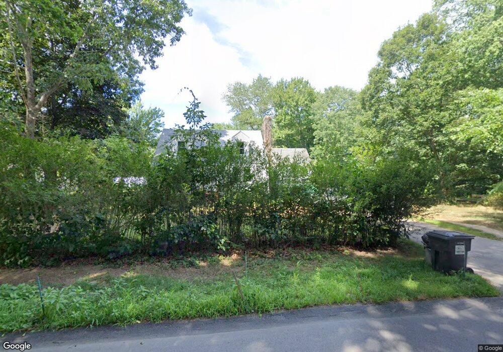
4 Sorrento Ln Medway, MA 02053
Estimated Value: $871,000 - $1,059,000
4
Beds
4
Baths
2,243
Sq Ft
$423/Sq Ft
Est. Value
About This Home
This home is located at 4 Sorrento Ln, Medway, MA 02053 and is currently estimated at $949,099, approximately $423 per square foot. 4 Sorrento Ln is a home located in Norfolk County with nearby schools including John D. McGovern Elementary School, Burke-Memorial Elementary, and Medway Middle School.
Ownership History
Date
Name
Owned For
Owner Type
Purchase Details
Closed on
Feb 7, 2019
Sold by
Vineyard Point Ventures
Bought by
Couillard Valerie and Couillard Christopher
Current Estimated Value
Home Financials for this Owner
Home Financials are based on the most recent Mortgage that was taken out on this home.
Original Mortgage
$433,499
Interest Rate
4.5%
Mortgage Type
New Conventional
Create a Home Valuation Report for This Property
The Home Valuation Report is an in-depth analysis detailing your home's value as well as a comparison with similar homes in the area
Home Values in the Area
Average Home Value in this Area
Purchase History
| Date | Buyer | Sale Price | Title Company |
|---|---|---|---|
| Couillard Valerie | $509,999 | -- | |
| Couillard Valerie | $509,999 | -- |
Source: Public Records
Mortgage History
| Date | Status | Borrower | Loan Amount |
|---|---|---|---|
| Previous Owner | Couillard Valerie | $433,499 |
Source: Public Records
Tax History Compared to Growth
Tax History
| Year | Tax Paid | Tax Assessment Tax Assessment Total Assessment is a certain percentage of the fair market value that is determined by local assessors to be the total taxable value of land and additions on the property. | Land | Improvement |
|---|---|---|---|---|
| 2025 | $12,513 | $878,100 | $336,200 | $541,900 |
| 2024 | $12,645 | $878,100 | $336,200 | $541,900 |
| 2023 | $12,326 | $773,300 | $306,000 | $467,300 |
| 2022 | $11,330 | $669,200 | $226,300 | $442,900 |
| 2021 | $10,937 | $626,400 | $211,200 | $415,200 |
| 2020 | $10,101 | $577,200 | $211,200 | $366,000 |
| 2019 | $9,486 | $559,000 | $202,600 | $356,400 |
| 2018 | $3,424 | $193,900 | $193,900 | $0 |
| 2017 | $353 | $19,700 | $19,700 | $0 |
| 2016 | $328 | $18,100 | $18,100 | $0 |
| 2015 | $3,187 | $174,700 | $174,700 | $0 |
| 2014 | $3,299 | $175,100 | $175,100 | $0 |
Source: Public Records
Map
Nearby Homes
- 39 West St
- 4 Deerfield Rd
- 6 Rainbow Dr
- 22 Granite St
- 6 Freedom Trail
- 9 Tulip Way
- 78 Fisher St
- 462 Hartford Ave
- 85 Fisher St
- 5 Fales St
- 220 Main St Unit 220
- 0 Old Log Lane (Farm St) Unit 73416329
- 455 Hartford Ave
- 176 Main St Unit 3
- 387 Hartford Ave
- 15 Broad Acres Farm Rd
- 28 Wellington St
- 18 Mary Anne Dr
- 21 Riverside Rd
- 12 Longmeadow Ln