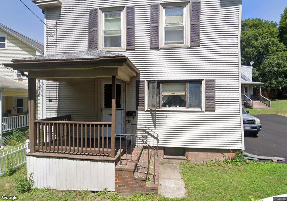
4 Sparrow Ln Peabody, MA 01960
Peabody Town Center NeighborhoodEstimated Value: $796,000 - $1,257,000
3
Beds
3
Baths
2,040
Sq Ft
$467/Sq Ft
Est. Value
About This Home
This home is located at 4 Sparrow Ln, Peabody, MA 01960 and is currently estimated at $951,857, approximately $466 per square foot. 4 Sparrow Ln is a home located in Essex County with nearby schools including Peabody Veterans Memorial High School, St John The Baptist School, and Bishop Fenwick High School.
Ownership History
Date
Name
Owned For
Owner Type
Purchase Details
Closed on
Feb 18, 2010
Sold by
Bankson Maureen and Fletcher Maureen
Bought by
Bankson Maureen and Bankson Ken
Current Estimated Value
Purchase Details
Closed on
Dec 20, 2004
Sold by
Papamechail Barbara L and Papamechail George N
Bought by
Fletcher Maureen
Create a Home Valuation Report for This Property
The Home Valuation Report is an in-depth analysis detailing your home's value as well as a comparison with similar homes in the area
Home Values in the Area
Average Home Value in this Area
Purchase History
| Date | Buyer | Sale Price | Title Company |
|---|---|---|---|
| Bankson Maureen | -- | -- | |
| Fletcher Maureen | $565,000 | -- |
Source: Public Records
Mortgage History
| Date | Status | Borrower | Loan Amount |
|---|---|---|---|
| Open | Fletcher Maureen | $346,000 | |
| Closed | Fletcher Maureen | $347,000 |
Source: Public Records
Tax History Compared to Growth
Tax History
| Year | Tax Paid | Tax Assessment Tax Assessment Total Assessment is a certain percentage of the fair market value that is determined by local assessors to be the total taxable value of land and additions on the property. | Land | Improvement |
|---|---|---|---|---|
| 2025 | $8,688 | $938,200 | $244,200 | $694,000 |
| 2024 | $7,926 | $869,100 | $244,200 | $624,900 |
| 2023 | $7,643 | $802,800 | $218,000 | $584,800 |
| 2022 | $7,267 | $719,500 | $194,700 | $524,800 |
| 2021 | $6,747 | $643,200 | $177,000 | $466,200 |
| 2020 | $7,155 | $666,200 | $177,000 | $489,200 |
| 2019 | $6,657 | $604,600 | $177,000 | $427,600 |
| 2018 | $6,080 | $530,500 | $160,900 | $369,600 |
| 2017 | $6,422 | $546,100 | $160,900 | $385,200 |
| 2016 | $6,469 | $542,700 | $160,900 | $381,800 |
| 2015 | $5,382 | $437,600 | $156,900 | $280,700 |
Source: Public Records
Map
Nearby Homes
- 5 Tremont Place
- 8R Elm St Unit 2
- 4 Northend St
- 62 Wallis St
- 55 Pulaski St
- 46 Wallis St
- 5 Colonial Rd
- 158 Lowell St Unit 4
- 46 Walnut St
- 6 Englewood Rd
- 78 Northend St
- 21 Emerson St
- 16 Ethel Ave
- 14 Margin St
- 2 Ethel Ave Unit 2
- 2 Ethel Ave Unit 1
- 1 Dennis St
- 38-1/2 Ellsworth Rd
- 75 Walnut St Unit 116
- 29 Reynolds Rd
- 4 Sparrow Ln Unit EXT
- 6 Sparrow Ln
- 2 Sparrow Ln
- 2A Sparrow Ln
- 6 Sparrow Ln
- 5 Sparrow Ln
- 5 Sparrow Ln
- 2 Sparrow Lane Extension
- 8 Sparrow Ln
- 117 Central St
- 117 Central St Unit A
- 121 Central St
- 121 Central St Unit 121
- 121 Central St Unit 1
- 119 Central St
- 115 Central St
- 115 Central St Unit 3
- 115 Central St Unit 1
- 111 Central St
- 10 Sparrow Ln