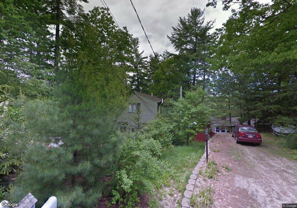
4 Steele Rd Raymond, ME 04071
Estimated Value: $566,000 - $968,000
2
Beds
3
Baths
1,428
Sq Ft
$547/Sq Ft
Est. Value
About This Home
This home is located at 4 Steele Rd, Raymond, ME 04071 and is currently estimated at $780,763, approximately $546 per square foot. 4 Steele Rd is a home located in Cumberland County with nearby schools including Gray-New Gloucester High School.
Ownership History
Date
Name
Owned For
Owner Type
Purchase Details
Closed on
Nov 3, 2011
Sold by
Ryan Craig
Bought by
Anderson Carol L and Anderson Michael L
Current Estimated Value
Home Financials for this Owner
Home Financials are based on the most recent Mortgage that was taken out on this home.
Original Mortgage
$319,500
Outstanding Balance
$216,901
Interest Rate
4.08%
Mortgage Type
Purchase Money Mortgage
Estimated Equity
$563,862
Create a Home Valuation Report for This Property
The Home Valuation Report is an in-depth analysis detailing your home's value as well as a comparison with similar homes in the area
Home Values in the Area
Average Home Value in this Area
Purchase History
| Date | Buyer | Sale Price | Title Company |
|---|---|---|---|
| Anderson Carol L | -- | -- |
Source: Public Records
Mortgage History
| Date | Status | Borrower | Loan Amount |
|---|---|---|---|
| Open | Anderson Carol L | $319,500 |
Source: Public Records
Tax History
| Year | Tax Paid | Tax Assessment Tax Assessment Total Assessment is a certain percentage of the fair market value that is determined by local assessors to be the total taxable value of land and additions on the property. | Land | Improvement |
|---|---|---|---|---|
| 2025 | $6,395 | $660,600 | $311,300 | $349,300 |
| 2024 | $6,408 | $660,600 | $311,300 | $349,300 |
| 2023 | $5,738 | $378,000 | $146,300 | $231,700 |
| 2022 | $5,273 | $378,000 | $146,300 | $231,700 |
| 2021 | $5,057 | $346,100 | $146,300 | $199,800 |
| 2020 | $5,105 | $346,100 | $146,300 | $199,800 |
| 2019 | $5,105 | $346,100 | $146,300 | $199,800 |
| 2018 | $4,565 | $346,100 | $146,300 | $199,800 |
| 2017 | $5,150 | $285,300 | $149,000 | $136,300 |
| 2016 | $5,221 | $285,300 | $149,000 | $136,300 |
Source: Public Records
Map
Nearby Homes
- 2 Gore Rd
- 15 Worcester Dr
- M011-006 Westwood Rd
- 11-007 Westwood Rd
- 34 Many Oaks Ln
- 0 Heidi Way
- 12 Presidential View
- 20 Bittersweet Way
- 18 Hillside Dr
- lot #8 Bedrock Terrace
- 16 Peterson Rd
- 99 Enterprise Dr
- 1112 Roosevelt Trail Unit 8
- 1083 Roosevelt Trail
- 2 Flynn Rd
- 15 May Meadow Dr
- 4 Wheeler Rd
- 107 W Gray Rd
- 1042 Roosevelt Trail
- 4 Chelsey Ln
Your Personal Tour Guide
Ask me questions while you tour the home.