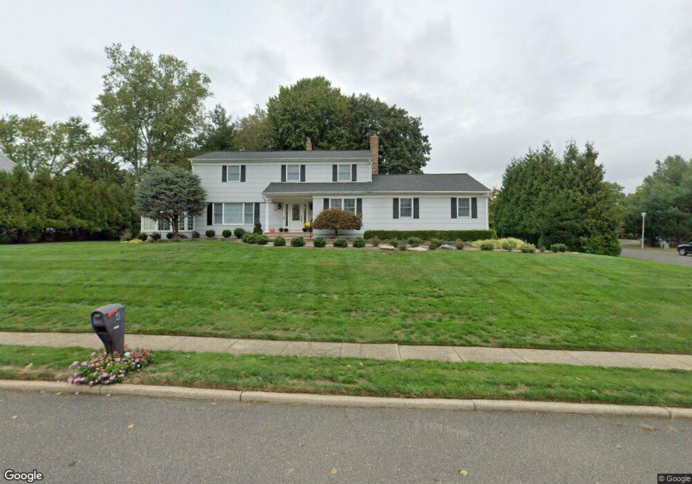
4 Sugar Maple Dr Red Bank, NJ 07701
New Monmouth NeighborhoodEstimated Value: $1,072,000 - $1,199,000
4
Beds
2
Baths
2,778
Sq Ft
$409/Sq Ft
Est. Value
About This Home
This home is located at 4 Sugar Maple Dr, Red Bank, NJ 07701 and is currently estimated at $1,137,501, approximately $409 per square foot. 4 Sugar Maple Dr is a home located in Monmouth County with nearby schools including Nut Swamp Elementary School, Thompson Middle School, and Middletown - South High School.
Ownership History
Date
Name
Owned For
Owner Type
Purchase Details
Closed on
Dec 3, 2021
Sold by
Muench David F
Bought by
Muench David F and Muench Eleanor M
Current Estimated Value
Purchase Details
Closed on
Apr 12, 2011
Sold by
Muench David F and Muench Eleanor M
Bought by
Muench David F
Purchase Details
Closed on
Mar 2, 2011
Sold by
Muench Eleanor M
Bought by
Muench David F and Muench Eleanor M
Create a Home Valuation Report for This Property
The Home Valuation Report is an in-depth analysis detailing your home's value as well as a comparison with similar homes in the area
Home Values in the Area
Average Home Value in this Area
Purchase History
| Date | Buyer | Sale Price | Title Company |
|---|---|---|---|
| Muench David F | -- | None Available | |
| Muench David F | -- | None Available | |
| Muench David F | -- | None Available |
Source: Public Records
Tax History Compared to Growth
Tax History
| Year | Tax Paid | Tax Assessment Tax Assessment Total Assessment is a certain percentage of the fair market value that is determined by local assessors to be the total taxable value of land and additions on the property. | Land | Improvement |
|---|---|---|---|---|
| 2025 | $17,062 | $1,054,200 | $465,600 | $588,600 |
| 2024 | $15,362 | $1,037,200 | $459,400 | $577,800 |
| 2023 | $15,362 | $883,900 | $395,000 | $488,900 |
| 2022 | $13,008 | $758,000 | $292,500 | $465,500 |
| 2021 | $13,008 | $665,000 | $245,600 | $419,400 |
| 2020 | $14,017 | $655,600 | $245,600 | $410,000 |
| 2019 | $14,159 | $670,400 | $245,600 | $424,800 |
| 2018 | $14,099 | $650,600 | $245,600 | $405,000 |
| 2017 | $13,662 | $643,200 | $245,600 | $397,600 |
| 2016 | $12,449 | $584,200 | $230,600 | $353,600 |
| 2015 | $12,162 | $581,100 | $230,600 | $350,500 |
| 2014 | $11,809 | $550,900 | $230,600 | $320,300 |
Source: Public Records
Map
Nearby Homes
- 11 Mayflower Dr
- 24 Princeton St
- 8 Allston St
- 44 Monroe St
- 74 Fish Hawk Dr
- 0 Hamiltonian Dr Unit 22514980
- 304 April Way Unit 304
- 211 April Way Unit 211
- 833 Lincoln St
- 20 Devon Rd
- 164 Heights Terrace
- 163 Lexington Ct
- 143 Lexington Ct
- 109 Lexington Ct
- 126 Manchester Ct
- 17 Terry Ln
- 93 Twin Brooks Ave
- 19 Manchester Ct
- 11 Manchester Ct
- 35 Woodland Dr
- 8 Sugar Maple Dr
- 35 Ivy Hill Rd
- 3 Sugar Maple Dr
- 31 Ivy Hill Rd
- 11 Fireside Rd
- 39 Ivy Hill Rd
- 7 Sugar Maple Dr
- 12 Sugar Maple Dr
- 15 Fireside Rd
- 16 Fireside Rd
- 43 Ivy Hill Rd
- 27 Ivy Hill Rd
- 11 Sugar Maple Dr
- 19 Fireside Rd
- 30 Ivy Hill Rd
- 26 Ivy Hill Rd
- 16 Sugar Maple Dr
- 20 Fireside Rd
- 34 Ivy Hill Rd
- 24 Ravine Rd