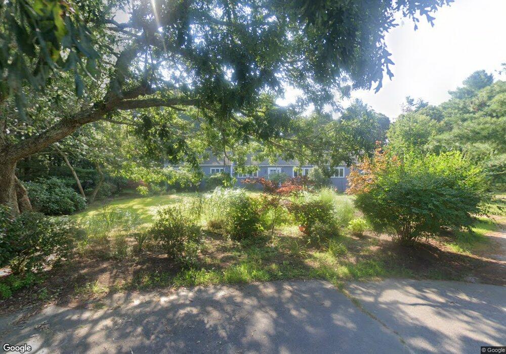
4 Taffrail Path Wareham, MA 02571
Estimated Value: $577,000 - $704,000
3
Beds
2
Baths
1,492
Sq Ft
$410/Sq Ft
Est. Value
About This Home
This home is located at 4 Taffrail Path, Wareham, MA 02571 and is currently estimated at $612,142, approximately $410 per square foot. 4 Taffrail Path is a home.
Ownership History
Date
Name
Owned For
Owner Type
Purchase Details
Closed on
Oct 21, 2023
Sold by
Hasenfuss Peter D and Hasenfuss Rosemarie C
Bought by
P D & R C Hasenfuss Irt and Hasenfuss
Current Estimated Value
Purchase Details
Closed on
Aug 24, 1978
Bought by
Hasenfuss Peter D and Hasenfuss Rosemarie C
Create a Home Valuation Report for This Property
The Home Valuation Report is an in-depth analysis detailing your home's value as well as a comparison with similar homes in the area
Purchase History
| Date | Buyer | Sale Price | Title Company |
|---|---|---|---|
| P D & R C Hasenfuss Irt | -- | None Available | |
| P D & R C Hasenfuss Irt | -- | None Available | |
| Hasenfuss Peter D | -- | -- |
Source: Public Records
Mortgage History
| Date | Status | Borrower | Loan Amount |
|---|---|---|---|
| Previous Owner | Hasenfuss Peter D | $50,000 | |
| Previous Owner | Hasenfuss Peter D | $225,100 | |
| Previous Owner | Hasenfuss Peter D | $118,800 |
Source: Public Records
Tax History
| Year | Tax Paid | Tax Assessment Tax Assessment Total Assessment is a certain percentage of the fair market value that is determined by local assessors to be the total taxable value of land and additions on the property. | Land | Improvement |
|---|---|---|---|---|
| 2025 | $5,016 | $481,400 | $169,900 | $311,500 |
| 2024 | $4,958 | $441,500 | $131,300 | $310,200 |
| 2023 | $4,764 | $396,000 | $119,600 | $276,400 |
| 2022 | $4,505 | $341,800 | $119,600 | $222,200 |
| 2021 | $8,291 | $331,600 | $119,600 | $212,000 |
| 2020 | $4,173 | $314,700 | $119,600 | $195,100 |
| 2019 | $4,076 | $306,700 | $123,800 | $182,900 |
| 2018 | $0 | $283,600 | $123,800 | $159,800 |
| 2017 | $4,252 | $273,100 | $123,800 | $149,300 |
| 2016 | $3,719 | $274,900 | $146,200 | $128,700 |
| 2015 | $3,593 | $274,900 | $146,200 | $128,700 |
| 2014 | $3,567 | $277,600 | $146,200 | $131,400 |
Source: Public Records
Map
Nearby Homes
- 10 Dowd Ave
- 65 Great Neck Rd
- 8 Over Jordan Rd
- 14 Over Jordan Rd
- 200 Great Neck Rd
- 0 Squaw's Path
- 276a Onset Ave
- 7 Cranberry Ln
- 10 Beacon St Unit 83
- 1 Gibbs Ball Park Rd
- 26 Highland Ave
- 391 Onset Ave
- 38 Amos Way
- 12 Beacon St Unit 84
- 10 East Blvd
- 10 East Blvd
- 124 Minot Ave Unit 1
- 248 Great Neck Rd
- 3 Carleton St Unit 3
- 35 Locust St
- 17 Martin St
- 17 Maritime Dr
- 15 Maritime Dr
- 2 Taffrail Path
- 2 Tafrail Path
- Lot 3 Jays Way
- 3 Tarpaulin Way
- 19 Maritime Dr
- 13 Maritime Dr
- Lot 5 Jays Way
- 5 Tarpaulin Way
- 8 Anchorage Dr
- 6 Anchorage Dr
- 18 Maritime Dr
- 20 Maritime Dr
- 7 Tarpaulin Way
- Lot 7 Jays Way
- 3 Anchorage Dr
- 2 Tarpaulin Way
- 14 Maritime Dr
Your Personal Tour Guide
Ask me questions while you tour the home.