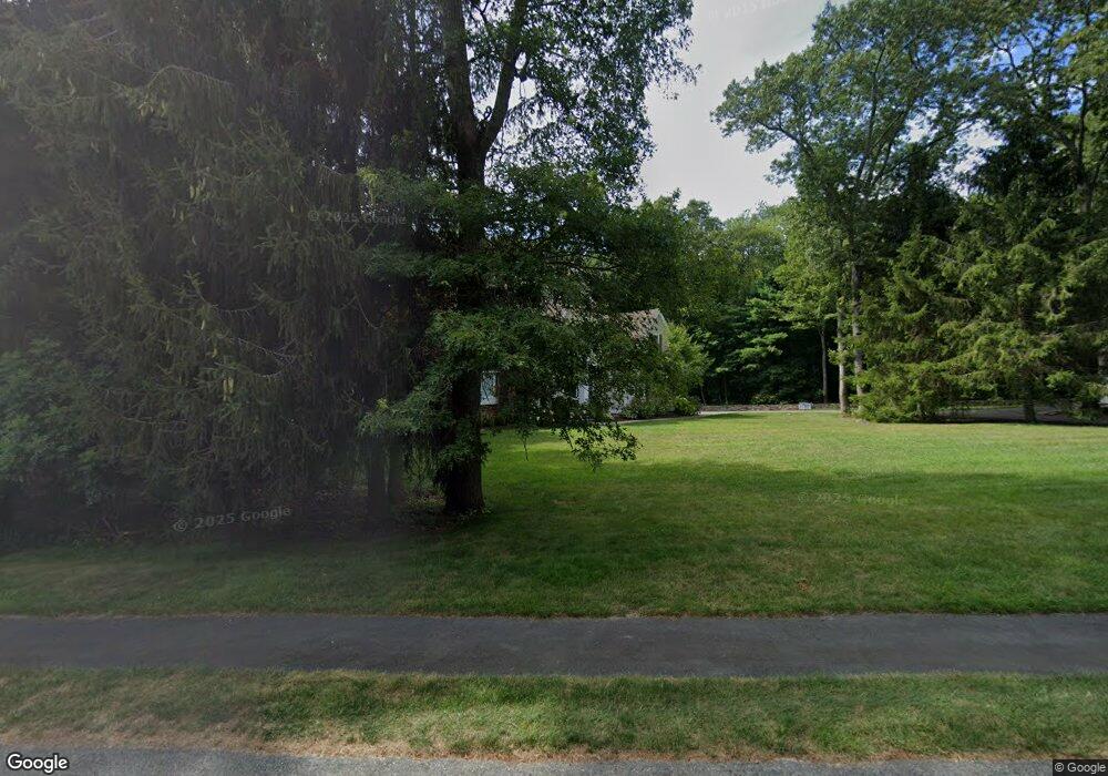
4 Taylor Dr Rehoboth, MA 02769
Estimated Value: $848,000 - $1,037,000
3
Beds
3
Baths
3,352
Sq Ft
$278/Sq Ft
Est. Value
About This Home
This home is located at 4 Taylor Dr, Rehoboth, MA 02769 and is currently estimated at $931,833, approximately $277 per square foot. 4 Taylor Dr is a home located in Bristol County with nearby schools including Dighton-Rehoboth Regional High School and Cedar Brook School.
Ownership History
Date
Name
Owned For
Owner Type
Purchase Details
Closed on
Dec 9, 2009
Sold by
Moitoso Michael A
Bought by
Moitoso Michael A and Moitoso Colleen
Current Estimated Value
Home Financials for this Owner
Home Financials are based on the most recent Mortgage that was taken out on this home.
Original Mortgage
$335,000
Outstanding Balance
$219,848
Interest Rate
5.02%
Mortgage Type
Purchase Money Mortgage
Estimated Equity
$711,985
Purchase Details
Closed on
May 13, 2004
Sold by
Anawan Rlty Inc
Bought by
Moitoso Michael A
Create a Home Valuation Report for This Property
The Home Valuation Report is an in-depth analysis detailing your home's value as well as a comparison with similar homes in the area
Home Values in the Area
Average Home Value in this Area
Purchase History
| Date | Buyer | Sale Price | Title Company |
|---|---|---|---|
| Moitoso Michael A | -- | -- | |
| Moitoso Michael A | $125,000 | -- |
Source: Public Records
Mortgage History
| Date | Status | Borrower | Loan Amount |
|---|---|---|---|
| Open | Moitoso Michael A | $335,000 |
Source: Public Records
Tax History
| Year | Tax Paid | Tax Assessment Tax Assessment Total Assessment is a certain percentage of the fair market value that is determined by local assessors to be the total taxable value of land and additions on the property. | Land | Improvement |
|---|---|---|---|---|
| 2025 | $89 | $802,000 | $200,300 | $601,700 |
| 2024 | $8,267 | $727,700 | $209,000 | $518,700 |
| 2023 | $8,455 | $730,100 | $204,600 | $525,500 |
| 2022 | $7,901 | $623,600 | $187,700 | $435,900 |
| 2021 | $8,241 | $622,400 | $171,100 | $451,300 |
| 2020 | $7,951 | $606,000 | $174,300 | $431,700 |
| 2018 | $6,726 | $561,900 | $170,600 | $391,300 |
| 2017 | $6,275 | $499,600 | $178,200 | $321,400 |
| 2016 | $6,164 | $507,300 | $185,900 | $321,400 |
| 2015 | $6,182 | $502,200 | $177,300 | $324,900 |
| 2014 | $6,139 | $493,500 | $168,600 | $324,900 |
Source: Public Records
Map
Nearby Homes
- 248 County
- 23 Bay State Rd
- 0 Winthrop St Unit 73180872
- 145 Winthrop St
- 139 Winthrop St
- 133 Winthrop St
- 0 Horton St Unit 73333337
- 349 Anawan St
- 321 Winthrop St
- 2713 Horton St
- 185 Moulton St
- 24 New St
- 8 Linden Ln
- 8 Linden Ln
- 19 Cedar St Unit 21
- 111 Summer St
- 10 Muriel Way
- 20 School St
- 46 Mikayla Ann Dr
- 42 Linden Ln
Your Personal Tour Guide
Ask me questions while you tour the home.