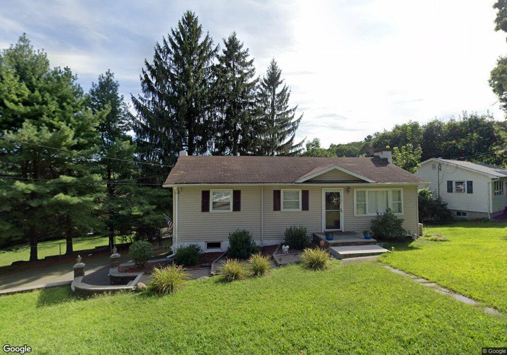
4 The Way Hopatcong, NJ 07843
Estimated Value: $507,000 - $735,000
--
Bed
--
Bath
2,060
Sq Ft
$292/Sq Ft
Est. Value
About This Home
This home is located at 4 The Way, Hopatcong, NJ 07843 and is currently estimated at $600,804, approximately $291 per square foot. 4 The Way is a home located in Sussex County with nearby schools including Hudson Maxim Elementary School, Durban Avenue Elementary School, and Tulsa Trail Elementary School.
Ownership History
Date
Name
Owned For
Owner Type
Purchase Details
Closed on
Aug 26, 2024
Sold by
Smith Patricia M
Bought by
White Larry
Current Estimated Value
Purchase Details
Closed on
Apr 20, 2021
Sold by
Smith Deborah and Labell Sandy
Bought by
White Larry
Purchase Details
Closed on
Aug 9, 2013
Sold by
Smith Patricia M
Bought by
Smith Deborah and Labell Sandy
Create a Home Valuation Report for This Property
The Home Valuation Report is an in-depth analysis detailing your home's value as well as a comparison with similar homes in the area
Home Values in the Area
Average Home Value in this Area
Purchase History
| Date | Buyer | Sale Price | Title Company |
|---|---|---|---|
| White Larry | -- | None Listed On Document | |
| White Larry | -- | None Listed On Document | |
| White Larry | $335,000 | Liberty Abstract Inc | |
| Smith Deborah | -- | None Available |
Source: Public Records
Tax History Compared to Growth
Tax History
| Year | Tax Paid | Tax Assessment Tax Assessment Total Assessment is a certain percentage of the fair market value that is determined by local assessors to be the total taxable value of land and additions on the property. | Land | Improvement |
|---|---|---|---|---|
| 2025 | $12,942 | $620,700 | $149,000 | $471,700 |
| 2024 | $12,362 | $620,700 | $149,000 | $471,700 |
| 2023 | $12,362 | $353,300 | $87,600 | $265,700 |
| 2022 | $12,118 | $353,300 | $87,600 | $265,700 |
| 2021 | $11,913 | $353,300 | $87,600 | $265,700 |
| 2020 | $11,790 | $353,300 | $87,600 | $265,700 |
| 2019 | $11,740 | $353,300 | $87,600 | $265,700 |
| 2018 | $11,715 | $353,300 | $87,600 | $265,700 |
| 2017 | $11,698 | $353,300 | $87,600 | $265,700 |
| 2016 | $11,722 | $353,300 | $87,600 | $265,700 |
| 2015 | $11,458 | $353,300 | $87,600 | $265,700 |
| 2014 | $11,419 | $353,300 | $87,600 | $265,700 |
Source: Public Records
Map
Nearby Homes
- 8 Brooklyn Mountain Rd
- 203 Lakeside Blvd
- 104 Chincopee Ave
- 54 Point Pleasant Rd
- 102 Santa Clara Trail
- 109 Durban Ave
- 214 Durban Ave
- 11 Idalroy Trail
- 19 Squire Rd
- 210 Nariticong Ave
- 124 Tulsa Trail
- 118 Tulsa Trail
- 59 Hopatchung Rd
- 141 W End Ave
- 226 Chincopee Ave
- 5 Ford Ave
- 8 Cornell Way
- 41 Catamaran Ct
- 802 Brooklyn Mountain Rd
- 328 Tulsa Trail