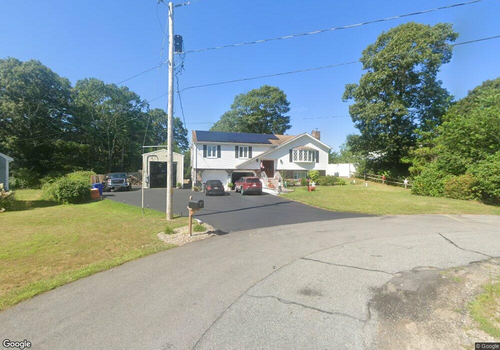
4 Vicki Cir Bourne, MA 2532
Buzzards Bay NeighborhoodEstimated Value: $643,000 - $755,000
3
Beds
3
Baths
2,170
Sq Ft
$318/Sq Ft
Est. Value
About This Home
This home is located at 4 Vicki Cir, Bourne, MA 2532 and is currently estimated at $691,084, approximately $318 per square foot. 4 Vicki Cir is a home located in Barnstable County with nearby schools including Bourne High School and St Margaret Regional School.
Ownership History
Date
Name
Owned For
Owner Type
Purchase Details
Closed on
Jul 3, 2020
Sold by
Tamburrini Mary C
Bought by
Tamburrini Mary C and Tamburrini Vincent W
Current Estimated Value
Purchase Details
Closed on
Oct 17, 2014
Sold by
Murphy Ft and Murphy
Bought by
Tamburrini Mary C
Purchase Details
Closed on
Apr 6, 2005
Sold by
Murphy Ellen J and Murphy James J
Bought by
Murphy Ellen J and Murphy James J
Create a Home Valuation Report for This Property
The Home Valuation Report is an in-depth analysis detailing your home's value as well as a comparison with similar homes in the area
Home Values in the Area
Average Home Value in this Area
Purchase History
| Date | Buyer | Sale Price | Title Company |
|---|---|---|---|
| Tamburrini Mary C | -- | None Available | |
| Tamburrini Mary C | $285,000 | -- | |
| Tamburrini Mary C | $285,000 | -- | |
| Murphy Ellen J | -- | -- | |
| Murphy Ellen J | -- | -- |
Source: Public Records
Mortgage History
| Date | Status | Borrower | Loan Amount |
|---|---|---|---|
| Closed | Tamburrini Mary C | $0 |
Source: Public Records
Tax History Compared to Growth
Tax History
| Year | Tax Paid | Tax Assessment Tax Assessment Total Assessment is a certain percentage of the fair market value that is determined by local assessors to be the total taxable value of land and additions on the property. | Land | Improvement |
|---|---|---|---|---|
| 2025 | $4,658 | $596,400 | $179,600 | $416,800 |
| 2024 | $4,554 | $567,800 | $171,000 | $396,800 |
| 2023 | $4,450 | $505,100 | $151,300 | $353,800 |
| 2022 | $3,792 | $375,800 | $133,900 | $241,900 |
| 2021 | $3,683 | $342,000 | $121,900 | $220,100 |
| 2020 | $3,569 | $332,300 | $120,700 | $211,600 |
| 2019 | $3,367 | $320,400 | $120,700 | $199,700 |
| 2018 | $4,589 | $308,200 | $109,200 | $199,000 |
| 2017 | $3,144 | $305,200 | $108,200 | $197,000 |
| 2016 | $2,914 | $286,800 | $96,800 | $190,000 |
| 2015 | $2,888 | $286,800 | $96,800 | $190,000 |
Source: Public Records
Map
Nearby Homes
- 41 Lewis Point Rd
- 0 Lewis Point Rd
- 48 Maple St
- 73 Lewis Point Rd
- 23 Alderberry Rd
- 304 Main St
- 810 Head of The Bay Rd
- 9 Hideaway Rd Unit F
- 13 Hideaway Village Unit G
- 38 Old Bridge Rd
- 6 Honora Ct
- 46 Holt Rd Unit A
- 3 Wolf Rd
- 40-A Lafayette Ave
- 151 - 153 Main St
- 4 Van Bummel Rd
- 56 Rip Van Winkle Way
- 90-92 Sandwich Rd Unit 9C
- 11 Buzzards Bay Dr
- 60 Sandwich Rd
- 4 Vicki Cir
- 22 Little Bay Ln
- 5 Vicki Cir
- 3 Cote Cir
- 7 Cote Cir
- 18 Little Bay Ln
- 18 Little Bay Ln
- 3 Vicki Cir
- 7 Cote Cir
- 3 Vicki Cir
- 28 Little Bay Ln
- 14 Little Bay Ln
- 14 Little Bay Ln
- 31 Little Bay Ln
- 21 Little Bay Ln
- 25 Little Bay Ln
- 4 Venn Ln
- 25 Little Bay Ln Unit 12
- 25 Little Bay Ln
- 21 Little Bay Ln