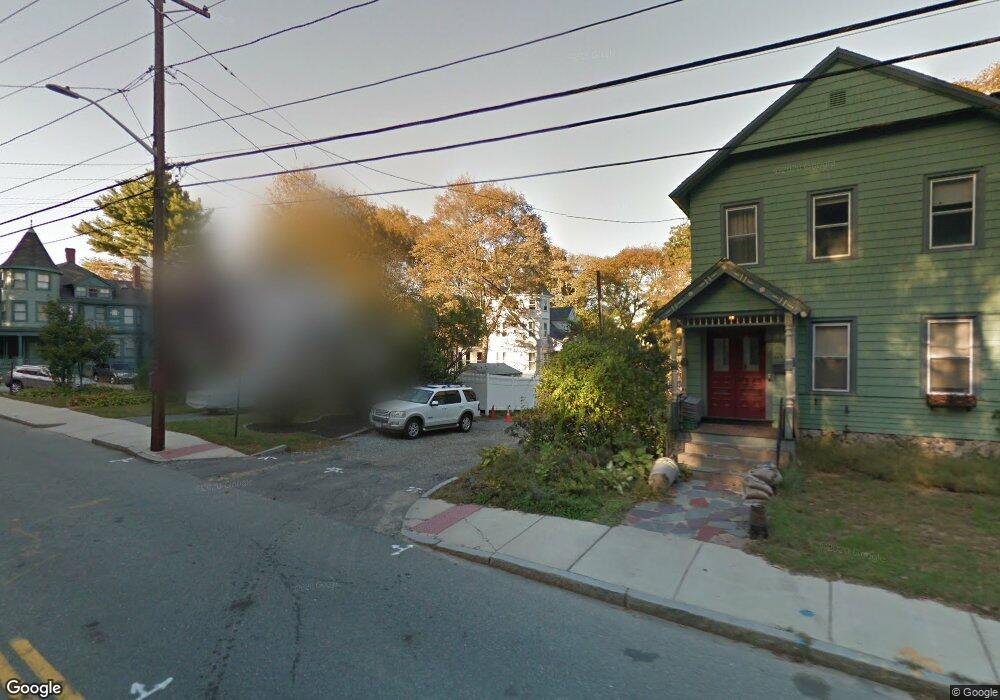
4 Volpe Way Melrose, MA 02176
Melrose Highlands NeighborhoodEstimated Value: $1,044,333 - $1,467,000
5
Beds
2
Baths
3,537
Sq Ft
$350/Sq Ft
Est. Value
About This Home
This home is located at 4 Volpe Way, Melrose, MA 02176 and is currently estimated at $1,239,333, approximately $350 per square foot. 4 Volpe Way is a home located in Middlesex County with nearby schools including Roosevelt Elementary School, Lincoln Elementary School, and Horace Mann Elementary School.
Ownership History
Date
Name
Owned For
Owner Type
Purchase Details
Closed on
Apr 26, 2018
Sold by
Green Maureen L
Bought by
Mlg Lt
Current Estimated Value
Purchase Details
Closed on
Dec 20, 2016
Sold by
Green Jonathan L and Green Maureen
Bought by
Green Maureen
Purchase Details
Closed on
Jul 23, 2002
Sold by
Lavigne Gerald W and Lavigne Laura M
Bought by
Green Jonathan and Green Maureen
Home Financials for this Owner
Home Financials are based on the most recent Mortgage that was taken out on this home.
Original Mortgage
$205,000
Interest Rate
6.73%
Mortgage Type
Purchase Money Mortgage
Create a Home Valuation Report for This Property
The Home Valuation Report is an in-depth analysis detailing your home's value as well as a comparison with similar homes in the area
Home Values in the Area
Average Home Value in this Area
Purchase History
| Date | Buyer | Sale Price | Title Company |
|---|---|---|---|
| Mlg Lt | -- | -- | |
| Green Maureen | -- | -- | |
| Green Jonathan | $400,000 | -- |
Source: Public Records
Mortgage History
| Date | Status | Borrower | Loan Amount |
|---|---|---|---|
| Previous Owner | Green Jonathan | $205,000 |
Source: Public Records
Tax History
| Year | Tax Paid | Tax Assessment Tax Assessment Total Assessment is a certain percentage of the fair market value that is determined by local assessors to be the total taxable value of land and additions on the property. | Land | Improvement |
|---|---|---|---|---|
| 2025 | $77 | $780,600 | $407,200 | $373,400 |
| 2024 | $7,419 | $747,100 | $382,500 | $364,600 |
| 2023 | $7,424 | $712,500 | $370,200 | $342,300 |
| 2022 | $7,461 | $705,900 | $370,200 | $335,700 |
| 2021 | $7,308 | $667,400 | $345,500 | $321,900 |
| 2020 | $6,966 | $630,400 | $308,500 | $321,900 |
| 2019 | $6,326 | $585,200 | $285,000 | $300,200 |
| 2018 | $6,337 | $559,300 | $259,100 | $300,200 |
| 2017 | $6,069 | $514,300 | $246,800 | $267,500 |
| 2016 | $5,976 | $484,700 | $240,600 | $244,100 |
| 2015 | $5,581 | $430,600 | $215,900 | $214,700 |
| 2014 | $5,392 | $406,000 | $191,300 | $214,700 |
Source: Public Records
Map
Nearby Homes
- 611 Franklin St
- 24 Ellsworth Ave
- 833 Franklin St
- 43-51 Albion St Unit C9
- 92 Greenwood St
- 53 Melrose St Unit 2B
- 51 Melrose St Unit 1C
- 51 Melrose St Unit 1A
- 49 Melrose St Unit 1F
- 34-36 W Highland Ave
- 56 Frankiln Steet Unit 56
- 62 Vinton St Unit 4
- 129 Greenwood St
- 36 Lake Ave
- 12 Linden Rd Unit 12
- 26 Poplar St
- 8 Crystal St Unit 2
- 8 Crystal St Unit 3
- 180 Green St Unit 101
- 38 Morgan Ave
- 273 Vinton St
- 50 Brunswick Park
- 44 Brunswick Park
- 283 Vinton St Unit A
- 283 Vinton St Unit 6
- 269 Vinton St
- 305 Vinton St
- 49 Brunswick Park
- 299 Vinton St
- 57 Brunswick Park
- 260 Vinton St
- 284 Vinton St
- 198 Melrose St
- 33 Brunswick Park
- 33 Brunswick Park Unit 2
- 323 Vinton St
- 10 Warwick Rd
- 244 Vinton St
- 306 Vinton St
- 14 Warwick Rd
Your Personal Tour Guide
Ask me questions while you tour the home.