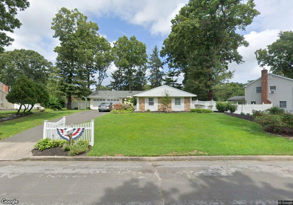
4 W Parsons Ct Setauket, NY 11733
Estimated Value: $673,000 - $808,000
3
Beds
2
Baths
1,748
Sq Ft
$430/Sq Ft
Est. Value
About This Home
This home is located at 4 W Parsons Ct, Setauket, NY 11733 and is currently estimated at $751,524, approximately $429 per square foot. 4 W Parsons Ct is a home located in Suffolk County with nearby schools including Minnesauke Elementary School, Paul J Gelinas Junior High School, and Ward Melville Senior High School.
Ownership History
Date
Name
Owned For
Owner Type
Purchase Details
Closed on
Jun 25, 2002
Sold by
Case Maureen
Bought by
Kutch Mark and Kutch Jacqueline
Current Estimated Value
Home Financials for this Owner
Home Financials are based on the most recent Mortgage that was taken out on this home.
Original Mortgage
$252,000
Outstanding Balance
$105,269
Interest Rate
6.64%
Estimated Equity
$646,255
Purchase Details
Closed on
Mar 25, 2002
Sold by
Case John and Case Maureen
Bought by
Case Maureen
Home Financials for this Owner
Home Financials are based on the most recent Mortgage that was taken out on this home.
Original Mortgage
$252,000
Interest Rate
7.18%
Create a Home Valuation Report for This Property
The Home Valuation Report is an in-depth analysis detailing your home's value as well as a comparison with similar homes in the area
Home Values in the Area
Average Home Value in this Area
Purchase History
| Date | Buyer | Sale Price | Title Company |
|---|---|---|---|
| Kutch Mark | $322,500 | Washington Title | |
| Case Maureen | -- | Welchert Title Agency |
Source: Public Records
Mortgage History
| Date | Status | Borrower | Loan Amount |
|---|---|---|---|
| Open | Kutch Mark | $252,000 | |
| Previous Owner | Case Maureen | $252,000 |
Source: Public Records
Tax History Compared to Growth
Tax History
| Year | Tax Paid | Tax Assessment Tax Assessment Total Assessment is a certain percentage of the fair market value that is determined by local assessors to be the total taxable value of land and additions on the property. | Land | Improvement |
|---|---|---|---|---|
| 2024 | $14,511 | $3,700 | $300 | $3,400 |
| 2023 | $14,511 | $3,700 | $300 | $3,400 |
| 2022 | $13,036 | $3,700 | $300 | $3,400 |
| 2021 | $13,036 | $3,700 | $300 | $3,400 |
| 2020 | $13,461 | $3,700 | $300 | $3,400 |
| 2019 | $13,461 | $0 | $0 | $0 |
| 2018 | $12,772 | $3,700 | $300 | $3,400 |
| 2017 | $12,772 | $3,700 | $300 | $3,400 |
| 2016 | $12,591 | $3,700 | $300 | $3,400 |
| 2015 | -- | $3,700 | $300 | $3,400 |
| 2014 | -- | $3,700 | $300 | $3,400 |
Source: Public Records
Map
Nearby Homes
- 16 Abbey Ln Unit 116
- 19 Pheasant Ln
- 19 Partridge Ln
- 5 Satterly Rd
- 9 Hare Ln
- 10 Spyglass Ln
- 28 Buckingham Meadow Rd
- 318 Sheep Pasture Rd
- 3 Somerset Ct
- 5 Stony Wood Rd
- 131 Emilys Way
- 128 Blair Rd
- 19 Fox Rd
- 15 Woodchuck Ln
- 35 Woodchuck Ln
- 27 Upper Sheep Pasture Rd
- 216 Glenwood Ln
- 155 Lower Sheep Pasture Rd
- 121 Foxdale Ln
- 0 Harborview Ave Unit KEY885496