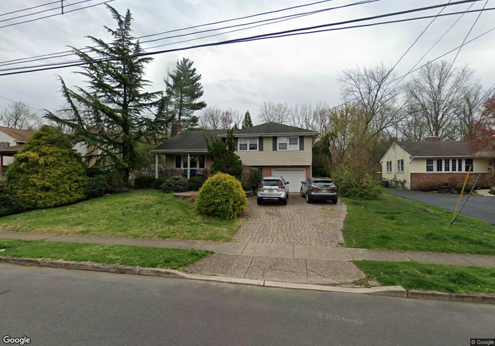
4 Wagon Bridge Run Moorestown, NJ 08057
Estimated Value: $416,003 - $580,000
--
Bed
--
Bath
1,413
Sq Ft
$349/Sq Ft
Est. Value
About This Home
This home is located at 4 Wagon Bridge Run, Moorestown, NJ 08057 and is currently estimated at $493,501, approximately $349 per square foot. 4 Wagon Bridge Run is a home located in Burlington County with nearby schools including Mary E. Roberts Elementary School, Moorestown Upper Elementary School, and William Allen Middle School.
Ownership History
Date
Name
Owned For
Owner Type
Purchase Details
Closed on
Oct 15, 1999
Sold by
Dieal William J
Bought by
Parnagian Elizabeth
Current Estimated Value
Home Financials for this Owner
Home Financials are based on the most recent Mortgage that was taken out on this home.
Original Mortgage
$75,000
Interest Rate
7.38%
Purchase Details
Closed on
Oct 15, 1995
Sold by
Fleck Marion C and Schanze Marion F
Bought by
Schanze E Stansbury
Create a Home Valuation Report for This Property
The Home Valuation Report is an in-depth analysis detailing your home's value as well as a comparison with similar homes in the area
Home Values in the Area
Average Home Value in this Area
Purchase History
| Date | Buyer | Sale Price | Title Company |
|---|---|---|---|
| Parnagian Elizabeth | $219,900 | Surety Title Corporation | |
| Schanze E Stansbury | -- | -- |
Source: Public Records
Mortgage History
| Date | Status | Borrower | Loan Amount |
|---|---|---|---|
| Closed | Parnagian Elizabeth | $75,000 |
Source: Public Records
Tax History Compared to Growth
Tax History
| Year | Tax Paid | Tax Assessment Tax Assessment Total Assessment is a certain percentage of the fair market value that is determined by local assessors to be the total taxable value of land and additions on the property. | Land | Improvement |
|---|---|---|---|---|
| 2025 | $7,748 | $273,100 | $156,700 | $116,400 |
| 2024 | $7,513 | $273,100 | $156,700 | $116,400 |
| 2023 | $7,513 | $273,100 | $156,700 | $116,400 |
| 2022 | $7,437 | $273,100 | $156,700 | $116,400 |
| 2021 | $7,338 | $273,100 | $156,700 | $116,400 |
| 2020 | $7,292 | $273,100 | $156,700 | $116,400 |
| 2019 | $7,163 | $273,100 | $156,700 | $116,400 |
| 2018 | $6,970 | $273,100 | $156,700 | $116,400 |
| 2017 | $7,030 | $273,100 | $156,700 | $116,400 |
| 2016 | $7,005 | $273,100 | $156,700 | $116,400 |
| 2015 | $6,920 | $273,100 | $156,700 | $116,400 |
| 2014 | $6,571 | $273,100 | $156,700 | $116,400 |
Source: Public Records
Map
Nearby Homes
- 310 S Washington Ave
- 217 Hooton Rd
- 601 S Church St
- 308 Kenwood Dr
- 129 S Church St
- 4 W Close
- 32 Michaelson Dr
- 660 S Church St
- 104 Mount Laurel Rd
- 167 Canterbury Rd
- 228 Mill St
- 35 Sisters Farmstead Dr
- 50 E 3rd St
- 66 E 3rd St
- 82 E 3rd St
- 444 Shady Ln
- 133 Plum St Unit 6
- 313 Fairview Ave
- 601 Stratford Dr
- 308 Elm St
- 6 Wagon Bridge Run
- 8 Wagon Bridge Run
- 1 Wagon Bridge Run
- 5 Wagon Bridge Run
- 428 High St
- 10 Wagon Bridge Run
- 424 High St
- 417 High St
- 420 Hooten Place
- 11 Wagon Bridge Run
- 423 Hooten Place
- 4322 Lane
- 12 Wagon Bridge Run
- 420 High St
- 413 High St
- 416 Hooten Place
- 419 Hooton Place
- 419 Hooten Place
- 2 W Cooper Ave
- 424 Parry Dr