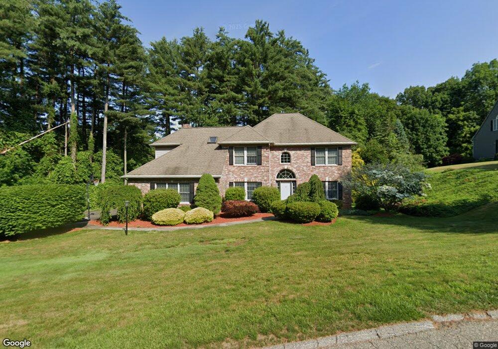
4 Wagon Dr Wilbraham, MA 01095
Estimated Value: $676,301 - $759,000
4
Beds
3
Baths
2,888
Sq Ft
$252/Sq Ft
Est. Value
About This Home
This home is located at 4 Wagon Dr, Wilbraham, MA 01095 and is currently estimated at $728,434, approximately $252 per square foot. 4 Wagon Dr is a home located in Hampden County with nearby schools including Minnechaug Regional High School, Springfield International Charter School, and Wilbraham & Monson Academy.
Ownership History
Date
Name
Owned For
Owner Type
Purchase Details
Closed on
Apr 8, 1997
Sold by
R E Laplante Constr
Bought by
Collins Maureen B and Collins Angelo
Current Estimated Value
Home Financials for this Owner
Home Financials are based on the most recent Mortgage that was taken out on this home.
Original Mortgage
$266,480
Interest Rate
7.5%
Mortgage Type
Purchase Money Mortgage
Create a Home Valuation Report for This Property
The Home Valuation Report is an in-depth analysis detailing your home's value as well as a comparison with similar homes in the area
Home Values in the Area
Average Home Value in this Area
Purchase History
| Date | Buyer | Sale Price | Title Company |
|---|---|---|---|
| Collins Maureen B | $333,100 | -- |
Source: Public Records
Mortgage History
| Date | Status | Borrower | Loan Amount |
|---|---|---|---|
| Open | Collins Maureen B | $277,500 | |
| Closed | Collins Maureen B | $227,900 | |
| Closed | Collins Maureen B | $100,000 | |
| Closed | Collins Maureen B | $266,480 |
Source: Public Records
Tax History Compared to Growth
Tax History
| Year | Tax Paid | Tax Assessment Tax Assessment Total Assessment is a certain percentage of the fair market value that is determined by local assessors to be the total taxable value of land and additions on the property. | Land | Improvement |
|---|---|---|---|---|
| 2025 | $11,095 | $620,500 | $122,900 | $497,600 |
| 2024 | $11,026 | $596,000 | $122,900 | $473,100 |
| 2023 | $9,960 | $532,300 | $122,900 | $409,400 |
| 2022 | $9,960 | $486,100 | $122,900 | $363,200 |
| 2021 | $10,371 | $451,700 | $131,300 | $320,400 |
| 2020 | $10,109 | $451,700 | $131,300 | $320,400 |
| 2019 | $9,934 | $455,700 | $131,300 | $324,400 |
| 2018 | $9,959 | $439,900 | $131,300 | $308,600 |
| 2017 | $9,678 | $439,900 | $131,300 | $308,600 |
| 2016 | $9,141 | $423,200 | $136,200 | $287,000 |
| 2015 | $8,836 | $423,200 | $136,200 | $287,000 |
Source: Public Records
Map
Nearby Homes
- 2 Vista Rd
- 79 High Pine Cir
- 69 High Pine Cir
- 54 High Pine Cir
- 20 Old Orchard Rd
- 474-480 Mountain Rd
- 35 Lake Dr
- 474 Mountain Rd
- 2 Bayberry Dr Unit 51
- 28 Decorie Dr
- 4 Hillcrest Dr
- 182 Mountain Rd
- 46 Washington Rd
- 8 Patriot Ridge Ln
- 6 Hilltop Park
- 12 Highridge Rd
- 603 Glendale Rd
- 88-90 Miller St
- 6 Teak Terrace Unit 24
- 68 Monson Rd