Estimated Value: $795,000 - $920,000
3
Beds
3
Baths
2,330
Sq Ft
$362/Sq Ft
Est. Value
About This Home
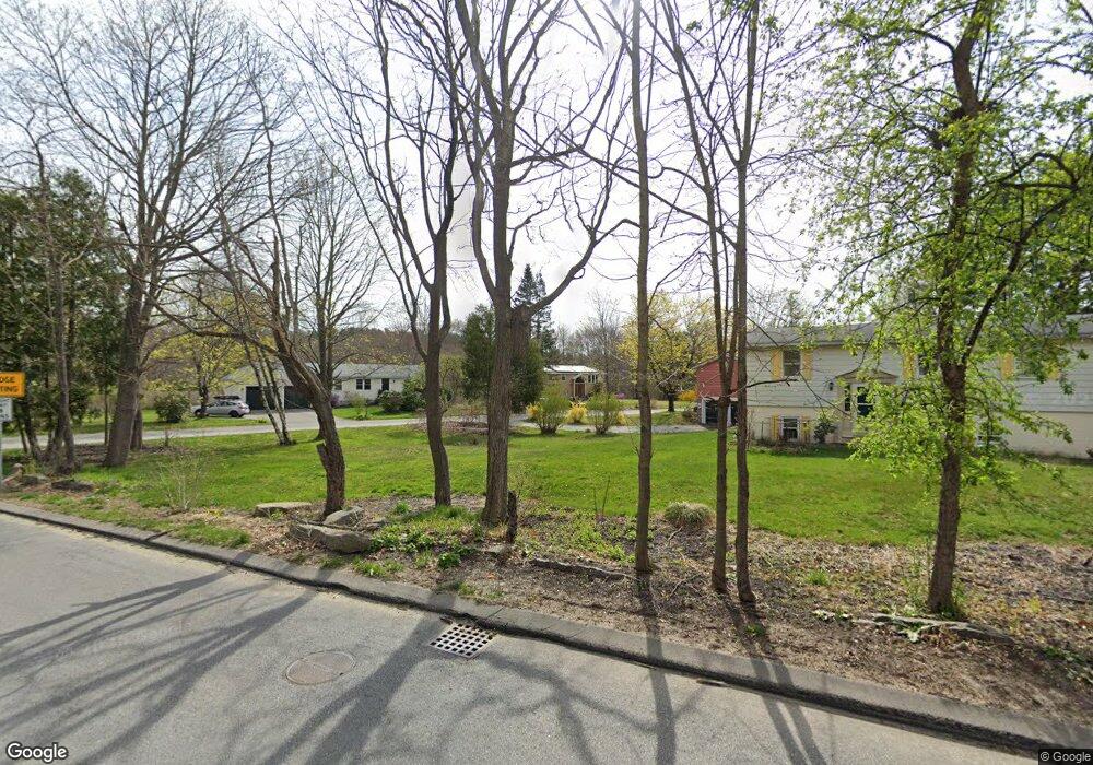
This home is located at 4 West Rd Unit 1, Acton, MA 01720 and is currently estimated at $844,382, approximately $362 per square foot. 4 West Rd Unit 1 is a home located in Middlesex County with nearby schools including Acton-Boxborough Regional High School and The Imago School.
Ownership History
Date
Name
Owned For
Owner Type
Purchase Details
Closed on
Jun 9, 2022
Sold by
Lala Kanayo H and Lala Soni K
Bought by
Wildes Robert and Hammond Wildes W
Current Estimated Value
Home Financials for this Owner
Home Financials are based on the most recent Mortgage that was taken out on this home.
Original Mortgage
$600,000
Outstanding Balance
$568,376
Interest Rate
5.1%
Mortgage Type
Purchase Money Mortgage
Estimated Equity
$276,006
Purchase Details
Closed on
May 11, 1990
Sold by
Striker William W
Bought by
Lala Kanayo H
Create a Home Valuation Report for This Property
The Home Valuation Report is an in-depth analysis detailing your home's value as well as a comparison with similar homes in the area
Home Values in the Area
Average Home Value in this Area
Purchase History
| Date | Buyer | Sale Price | Title Company |
|---|---|---|---|
| Wildes Robert | $750,000 | None Available | |
| Lala Kanayo H | $153,000 | -- | |
| Lala Kanayo H | $153,000 | -- |
Source: Public Records
Mortgage History
| Date | Status | Borrower | Loan Amount |
|---|---|---|---|
| Open | Wildes Robert | $600,000 | |
| Previous Owner | Lala Kanayo H | $150,000 | |
| Previous Owner | Lala Kanayo H | $25,000 |
Source: Public Records
Tax History Compared to Growth
Tax History
| Year | Tax Paid | Tax Assessment Tax Assessment Total Assessment is a certain percentage of the fair market value that is determined by local assessors to be the total taxable value of land and additions on the property. | Land | Improvement |
|---|---|---|---|---|
| 2025 | $12,043 | $702,200 | $274,800 | $427,400 |
| 2024 | $11,724 | $703,300 | $274,800 | $428,500 |
| 2023 | $11,711 | $666,900 | $249,700 | $417,200 |
| 2022 | $11,361 | $584,100 | $217,000 | $367,100 |
| 2021 | $10,619 | $524,900 | $201,000 | $323,900 |
| 2020 | $10,099 | $524,900 | $201,000 | $323,900 |
| 2019 | $9,394 | $485,000 | $201,000 | $284,000 |
| 2018 | $8,853 | $456,800 | $201,000 | $255,800 |
| 2017 | $8,491 | $445,500 | $201,000 | $244,500 |
| 2016 | $8,040 | $418,100 | $201,000 | $217,100 |
| 2015 | $7,797 | $409,300 | $201,000 | $208,300 |
| 2014 | $7,531 | $387,200 | $201,000 | $186,200 |
Source: Public Records
Map
Nearby Homes
- 285 Central St Unit 285
- 9 Elm St Unit 1
- 5 Elm St Unit 1
- 89 Windsor Ave
- 31 Mohawk Dr
- 4,7,8 Crestwood Ln
- 92 Willow St Unit 3
- 92 Willow St Unit 2
- 90 Willow St Unit 1
- 68 Macintosh Ln
- 4 Huron Rd
- 134 Russet Ln
- 169 Main St
- 3 Heather Hill Rd
- 19 Railroad St Unit C2
- 12 Olde Lantern Rd
- 131 Main St
- 129 Main St Unit 129
- 129 Main St
- 86 School St
- 4 West Rd
- 6 West Rd
- 2 West Rd
- 198 Arlington St
- 8 West Rd
- 210 Arlington St
- 5 West Rd
- 9 West Rd
- 197 Arlington St
- 220 Arlington St
- 195 Arlington St
- 215 Arlington St
- 215 Arlington St Unit 2
- 7 West Rd
- 205 Arlington St
- 217 Arlington St
- 219 Arlington St
- 219 Arlington St Unit 219
- 221 Arlington St
- 221 Arlington St Unit 221