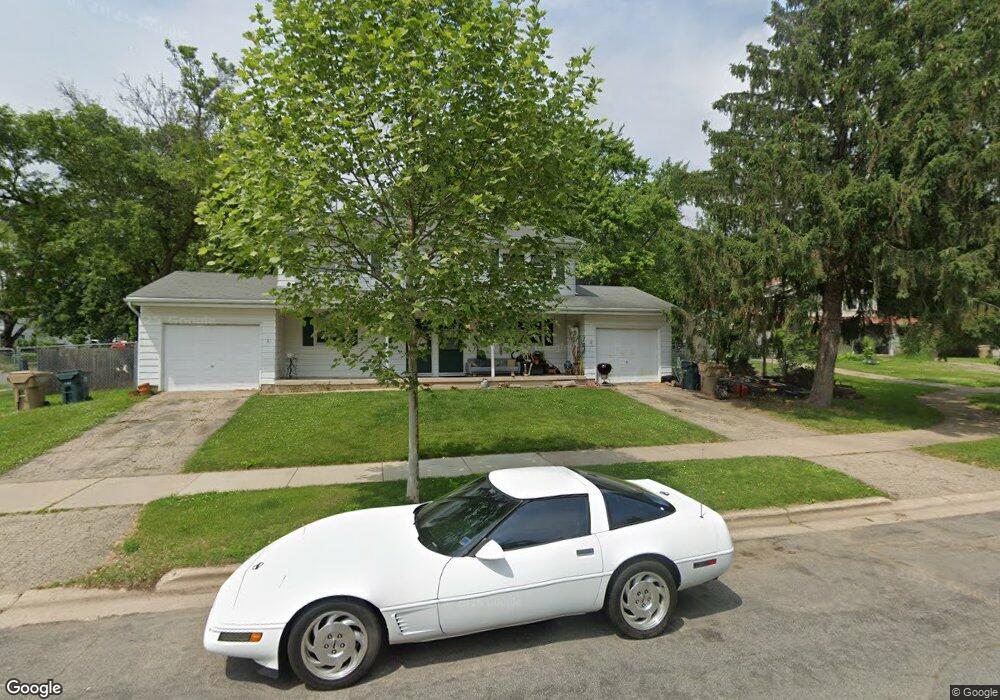
4 Westbrook Cir Madison, WI 53711
Prairie Hills NeighborhoodEstimated Value: $441,315 - $622,000
6
Beds
4
Baths
2,520
Sq Ft
$205/Sq Ft
Est. Value
About This Home
This home is located at 4 Westbrook Cir, Madison, WI 53711 and is currently estimated at $517,329, approximately $205 per square foot. 4 Westbrook Cir is a home located in Dane County with nearby schools including Huegel Elementary School, Toki Middle School, and Vel Phillips Memorial High School.
Ownership History
Date
Name
Owned For
Owner Type
Purchase Details
Closed on
Oct 25, 2018
Sold by
Paulson Sheila B and Vaughan Sheila B
Bought by
Brandt Jeffrey T and Brandt Santhia R Palit
Current Estimated Value
Home Financials for this Owner
Home Financials are based on the most recent Mortgage that was taken out on this home.
Original Mortgage
$202,500
Outstanding Balance
$177,326
Interest Rate
4.6%
Mortgage Type
New Conventional
Estimated Equity
$340,003
Purchase Details
Closed on
Jan 4, 2005
Sold by
Gervasi Dwight D and Gervasi Amy L
Bought by
Vaughan Sheila B
Home Financials for this Owner
Home Financials are based on the most recent Mortgage that was taken out on this home.
Original Mortgage
$197,600
Interest Rate
5.25%
Mortgage Type
Adjustable Rate Mortgage/ARM
Create a Home Valuation Report for This Property
The Home Valuation Report is an in-depth analysis detailing your home's value as well as a comparison with similar homes in the area
Home Values in the Area
Average Home Value in this Area
Purchase History
| Date | Buyer | Sale Price | Title Company |
|---|---|---|---|
| Brandt Jeffrey T | $270,000 | None Available | |
| Vaughan Sheila B | -- | None Available |
Source: Public Records
Mortgage History
| Date | Status | Borrower | Loan Amount |
|---|---|---|---|
| Open | Brandt Jeffrey T | $202,500 | |
| Previous Owner | Vaughan Sheila B | $197,600 |
Source: Public Records
Tax History Compared to Growth
Tax History
| Year | Tax Paid | Tax Assessment Tax Assessment Total Assessment is a certain percentage of the fair market value that is determined by local assessors to be the total taxable value of land and additions on the property. | Land | Improvement |
|---|---|---|---|---|
| 2023 | $7,121 | $390,500 | $97,300 | $293,200 |
| 2022 | $14,080 | $351,800 | $87,700 | $264,100 |
| 2021 | $6,435 | $303,300 | $75,600 | $227,700 |
| 2020 | $6,257 | $280,800 | $70,000 | $210,800 |
| 2019 | $6,049 | $270,000 | $70,000 | $200,000 |
| 2018 | $5,167 | $232,900 | $70,000 | $162,900 |
| 2017 | $4,645 | $202,500 | $60,900 | $141,600 |
| 2016 | $4,251 | $178,400 | $60,900 | $117,500 |
| 2015 | $4,157 | $171,500 | $60,900 | $110,600 |
| 2014 | $4,077 | $171,500 | $60,900 | $110,600 |
| 2013 | $4,414 | $171,500 | $60,900 | $110,600 |
Source: Public Records
Map
Nearby Homes
- 6414 Raymond Rd
- 2309 Mckenna Blvd
- 6502 Pilgrim Rd
- 5934 Meadowood Dr
- 6806 Raymond Rd Unit 101
- 6829 Raymond Rd Unit 15
- 28 Deer Point Trail
- 31 Deer Point Trail
- 2622 Mckenna Blvd
- 7651 Stones Throw Dr
- 1301 Rae Ln
- 5701 Bartlett Ln
- 1 Maple View Ct
- 2925 Maple Run Dr
- 5517 Dorsett Dr
- 6104 Davenport Dr
- 3301 Prairie Rd
- 6717 Park Edge Dr Unit A
- 6710 Park Ridge Dr Unit B
- 7203 Mid Town Rd Unit 305
- 3 Westbrook Cir
- 2009 Westbrook Ln
- 1 Westbrook Cir
- 2011 Westbrook Ln
- 2024 Westbrook Ln
- 2014 Westbrook Ln
- 2016 Westbrook Ln
- 2012 Westbrook Ln
- 2020 Westbrook Ln
- 8 Westbrook Cir
- 6 Westbrook Cir
- 2007 Westbrook Ln
- 2027 Westbrook Ln
- 2008 Westbrook Ln
- 2003 Westbrook Ln
- 7 Westbrook Cir
- 2026 Westbrook Ln
- 5 Westbrook Cir
- 12 Westbrook Cir
- 12 Westbrook Cir Unit 12