4 Whitetail Cir Southbridge, MA 01550
Estimated Value: $391,466 - $414,000
3
Beds
2
Baths
1,225
Sq Ft
$330/Sq Ft
Est. Value
About This Home
This home is located at 4 Whitetail Cir, Southbridge, MA 01550 and is currently estimated at $404,367, approximately $330 per square foot. 4 Whitetail Cir is a home located in Worcester County with nearby schools including Trinity Catholic Academy and ViewPoint Christian Academy.
Ownership History
Date
Name
Owned For
Owner Type
Purchase Details
Closed on
Nov 29, 2005
Sold by
Jamaheja Inc
Bought by
Sklarz Walter
Current Estimated Value
Home Financials for this Owner
Home Financials are based on the most recent Mortgage that was taken out on this home.
Original Mortgage
$200,072
Outstanding Balance
$110,407
Interest Rate
6.06%
Mortgage Type
Purchase Money Mortgage
Estimated Equity
$293,960
Create a Home Valuation Report for This Property
The Home Valuation Report is an in-depth analysis detailing your home's value as well as a comparison with similar homes in the area
Home Values in the Area
Average Home Value in this Area
Purchase History
| Date | Buyer | Sale Price | Title Company |
|---|---|---|---|
| Sklarz Walter | $250,000 | -- |
Source: Public Records
Mortgage History
| Date | Status | Borrower | Loan Amount |
|---|---|---|---|
| Open | Sklarz Walter | $200,072 |
Source: Public Records
Tax History
| Year | Tax Paid | Tax Assessment Tax Assessment Total Assessment is a certain percentage of the fair market value that is determined by local assessors to be the total taxable value of land and additions on the property. | Land | Improvement |
|---|---|---|---|---|
| 2025 | $5,081 | $346,600 | $45,100 | $301,500 |
| 2024 | $5,217 | $341,900 | $37,500 | $304,400 |
| 2023 | $5,108 | $322,500 | $37,500 | $285,000 |
| 2022 | $5,143 | $287,300 | $32,000 | $255,300 |
| 2021 | $4,568 | $235,000 | $32,000 | $203,000 |
| 2020 | $4,373 | $224,500 | $32,000 | $192,500 |
| 2018 | $3,783 | $182,300 | $32,000 | $150,300 |
| 2017 | $3,851 | $187,200 | $32,000 | $155,200 |
| 2016 | $3,684 | $182,300 | $32,000 | $150,300 |
| 2015 | $3,777 | $185,500 | $35,200 | $150,300 |
| 2014 | $3,547 | $180,600 | $35,200 | $145,400 |
Source: Public Records
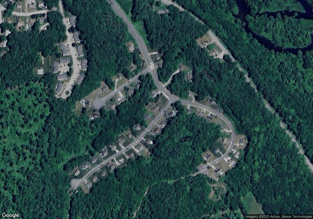
Map
Nearby Homes
- 87 Red Fox Blvd
- 768 Ashland Ave
- 325 Ashland Ave Unit 10
- 325 Ashland Ave Unit 12
- 4 W Dudley Rd
- 0 Old North Woodstock Rd
- 858 N Woodstock Rd
- 249 Dudley Southbridge Rd
- 0 Brentwood Dr
- 104 Hilltop Dr
- 28 Armory Ln
- 42 Arland Dr
- 52 Stony Brook Dr
- 112 Chestnut St
- 28 Maple St
- 183 Lebanon Hill Rd
- 311 Lebanon Hill Rd
- 0 Alpine Dr
- 82 Prince Rd
- 7 Pearl St
- 90 Red Fox Blvd
- 20 Whitetail Cir
- 9 Whitetail Cir
- 1 Whitetail Cir
- 0 Whitetail Cir
- 19 Quail Run
- 21 Whitetail Cir
- 7 Quail Run
- 32 Whitetail Cir
- 134 Red Fox Blvd
- 143 Red Fox Blvd
- 104 Red Fox Blvd
- 133 Red Fox Blvd
- 102 Red Fox Blvd
- 25 Quail Run
- 33 Whitetail Cir
- 44 Whitetail Cir
- 380 Whitetail Cir
- 83 Red Fox Blvd
- 83 Red Fox Blvd Unit 1
Your Personal Tour Guide
Ask me questions while you tour the home.