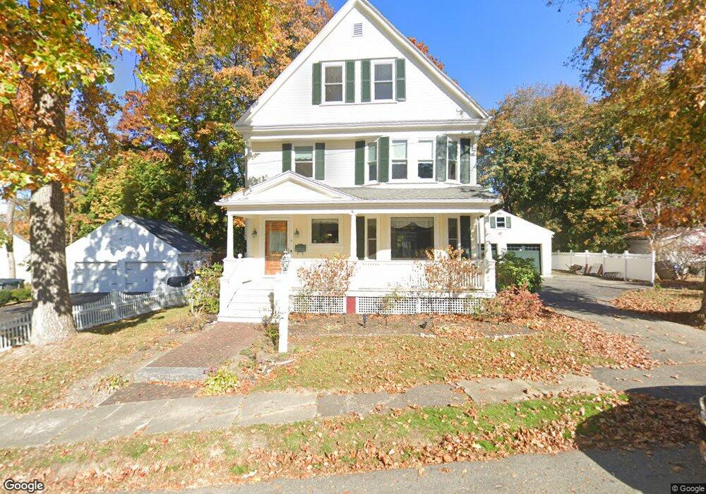
4 Whittier St Amesbury, MA 01913
Estimated Value: $608,000 - $773,000
4
Beds
2
Baths
1,888
Sq Ft
$361/Sq Ft
Est. Value
About This Home
This home is located at 4 Whittier St, Amesbury, MA 01913 and is currently estimated at $680,834, approximately $360 per square foot. 4 Whittier St is a home located in Essex County with nearby schools including Amesbury High School and Amesbury Seventh-Day Adventist School.
Ownership History
Date
Name
Owned For
Owner Type
Purchase Details
Closed on
Apr 23, 2003
Sold by
Morris Richard D
Bought by
Antille Diane L
Current Estimated Value
Home Financials for this Owner
Home Financials are based on the most recent Mortgage that was taken out on this home.
Original Mortgage
$110,000
Outstanding Balance
$47,982
Interest Rate
5.84%
Estimated Equity
$632,852
Purchase Details
Closed on
Feb 7, 2002
Sold by
Antille Rt
Bought by
Antille Diane L and Morris Richard D
Create a Home Valuation Report for This Property
The Home Valuation Report is an in-depth analysis detailing your home's value as well as a comparison with similar homes in the area
Home Values in the Area
Average Home Value in this Area
Purchase History
| Date | Buyer | Sale Price | Title Company |
|---|---|---|---|
| Antille Diane L | $140,171 | -- | |
| Antille Diane L | $250,000 | -- |
Source: Public Records
Mortgage History
| Date | Status | Borrower | Loan Amount |
|---|---|---|---|
| Open | Antille Diane L | $20,000 | |
| Open | Antille Diane L | $110,000 |
Source: Public Records
Tax History Compared to Growth
Tax History
| Year | Tax Paid | Tax Assessment Tax Assessment Total Assessment is a certain percentage of the fair market value that is determined by local assessors to be the total taxable value of land and additions on the property. | Land | Improvement |
|---|---|---|---|---|
| 2025 | $8,726 | $570,300 | $236,200 | $334,100 |
| 2024 | $8,270 | $528,800 | $222,800 | $306,000 |
| 2023 | $8,165 | $499,700 | $193,700 | $306,000 |
| 2022 | $8,236 | $465,600 | $168,500 | $297,100 |
| 2021 | $7,273 | $398,500 | $135,700 | $262,800 |
| 2020 | $6,771 | $394,100 | $130,600 | $263,500 |
| 2019 | $6,540 | $356,000 | $130,600 | $225,400 |
| 2018 | $6,498 | $342,200 | $124,400 | $217,800 |
| 2017 | $6,949 | $348,300 | $124,400 | $223,900 |
| 2016 | $6,692 | $330,000 | $124,400 | $205,600 |
| 2015 | $6,653 | $323,900 | $124,400 | $199,500 |
| 2014 | $6,857 | $327,000 | $124,400 | $202,600 |
Source: Public Records
Map
Nearby Homes
- 4 Larnard Ct
- 93 Friend St
- 49 W Greenwood St
- 31 Whitter Meadows Dr Unit 31
- 4 Greenwood St
- 43 Aubin St Unit 43
- 37 Millyard Unit 204
- 4 Winter St
- 13 High St Unit 2
- 5 Moncrief St Unit 5
- 48 Orchard St
- 188 Lions Mouth Rd
- 97 Elm St
- 118 Elm St
- 3 Arlington St
- 25 Cedar St Unit 4
- 25 Cedar St Unit 14
- 25 Cedar St Unit 7
- 45 Macy St Unit b101
- 45 Macy St Unit 301C
- 4 Whittier St
- 4 Whittier St Unit 4
- 2 Whittier St
- 2 Whittier St
- 3 Whittier St
- 3 Whittier St
- 8 Whittier St
- 8 Whittier St Unit 8
- 1 Whittier St
- 1 Whittier St
- 1 Whittier St Unit 6A
- 47 Sparhawk St
- 12 Greenleaf St
- 20 Greenleaf St
- 49 Sparhawk St Unit 2
- 49 Sparhawk St Unit 1
- 49 Sparhawk St
- 49 Sparhawk St Unit 2
- 43 Sparhawk St
- 43 Sparhawk St Unit 43