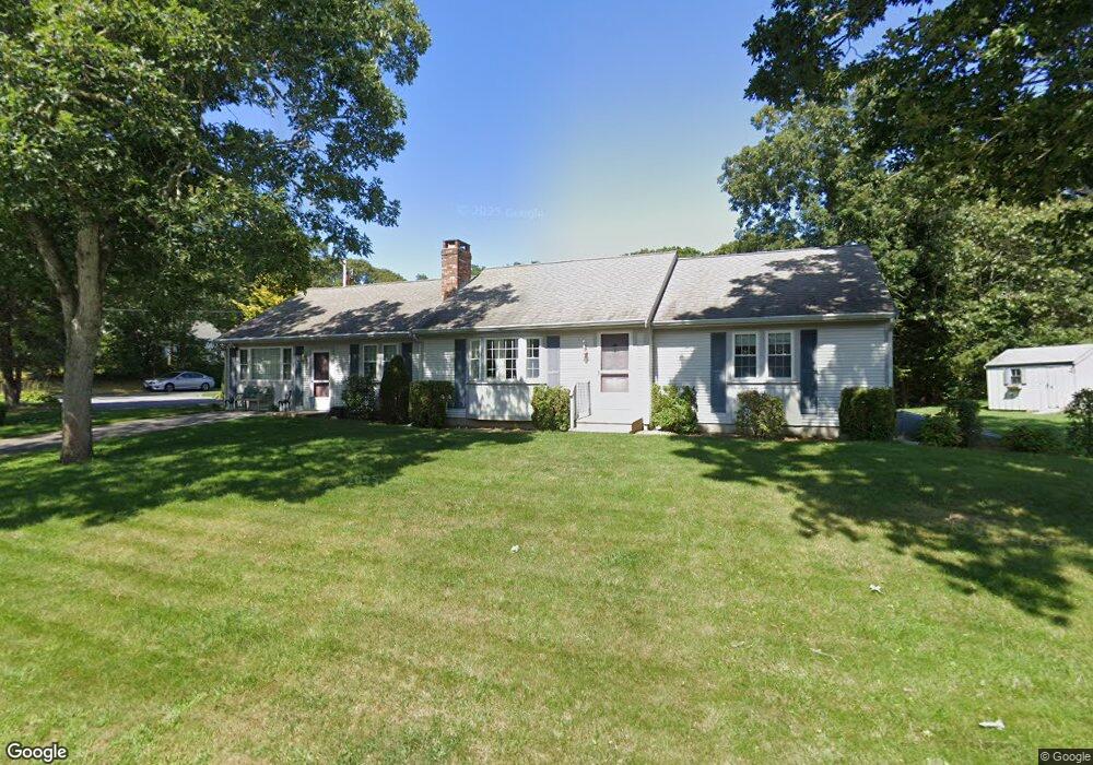
4 Wianno Rd Yarmouth Port, MA 02675
Yarmouth Port NeighborhoodEstimated Value: $650,000 - $791,000
2
Beds
2
Baths
1,201
Sq Ft
$592/Sq Ft
Est. Value
About This Home
This home is located at 4 Wianno Rd, Yarmouth Port, MA 02675 and is currently estimated at $711,582, approximately $592 per square foot. 4 Wianno Rd is a home located in Barnstable County with nearby schools including Dennis-Yarmouth Regional High School and St. Pius X. School.
Ownership History
Date
Name
Owned For
Owner Type
Purchase Details
Closed on
Jul 12, 2022
Sold by
Hallaran Timothy D and Hallaran Melanie M
Bought by
Hallaran Ft
Current Estimated Value
Purchase Details
Closed on
Apr 17, 2019
Sold by
Annese Kenneth B Est
Bought by
Hallaran Timothy D and Hallaran Melanie M
Home Financials for this Owner
Home Financials are based on the most recent Mortgage that was taken out on this home.
Original Mortgage
$200,000
Interest Rate
4.1%
Mortgage Type
New Conventional
Create a Home Valuation Report for This Property
The Home Valuation Report is an in-depth analysis detailing your home's value as well as a comparison with similar homes in the area
Home Values in the Area
Average Home Value in this Area
Purchase History
| Date | Buyer | Sale Price | Title Company |
|---|---|---|---|
| Hallaran Ft | -- | None Available | |
| Hallaran Timothy D | $335,000 | -- |
Source: Public Records
Mortgage History
| Date | Status | Borrower | Loan Amount |
|---|---|---|---|
| Previous Owner | Hallaran Timothy D | $200,000 |
Source: Public Records
Tax History Compared to Growth
Tax History
| Year | Tax Paid | Tax Assessment Tax Assessment Total Assessment is a certain percentage of the fair market value that is determined by local assessors to be the total taxable value of land and additions on the property. | Land | Improvement |
|---|---|---|---|---|
| 2025 | $4,636 | $654,800 | $169,000 | $485,800 |
| 2024 | $4,378 | $593,200 | $147,000 | $446,200 |
| 2023 | $4,302 | $530,400 | $133,600 | $396,800 |
| 2022 | $4,069 | $443,200 | $127,500 | $315,700 |
| 2021 | $3,775 | $394,900 | $127,500 | $267,400 |
| 2020 | $3,733 | $373,300 | $134,800 | $238,500 |
| 2019 | $3,419 | $338,500 | $134,800 | $203,700 |
| 2018 | $3,253 | $316,100 | $112,400 | $203,700 |
| 2017 | $3,167 | $316,100 | $112,400 | $203,700 |
| 2016 | $3,065 | $307,100 | $103,400 | $203,700 |
| 2015 | $2,881 | $287,000 | $98,900 | $188,100 |
Source: Public Records
Map
Nearby Homes
- 44 Stratford Ln
- 86 Pompano Rd
- 43 Canterbury Rd
- 34 Kates Path
- 34 Kates Path Unit 34
- 29 Boxwood Cir Unit 29
- 64 Kates Path
- 17 Kates Path Unit A
- 6 Nimble Hill Dr
- 228 Kates Path
- 25 Oak Glen Village Unit 25
- 25 Oak Glen
- 1 Barnacle Rd
- 7 Forest Gate Unit 7
- 50 John Hall Cartway
- 50 John Hall Cartway Unit 50
- 111 Merchant Ave
- 59 Massachusetts 6a Unit 19-2
- 30 W Woods Cir Unit 30
- 30 W Woods