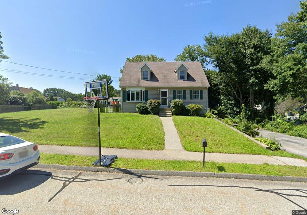
4 Wilfred Ln Webster, MA 01570
Estimated Value: $443,000 - $528,000
3
Beds
3
Baths
1,844
Sq Ft
$254/Sq Ft
Est. Value
About This Home
This home is located at 4 Wilfred Ln, Webster, MA 01570 and is currently estimated at $467,647, approximately $253 per square foot. 4 Wilfred Ln is a home located in Worcester County with nearby schools including Park Avenue Elementary School, Webster Middle School, and Bartlett High School.
Ownership History
Date
Name
Owned For
Owner Type
Purchase Details
Closed on
Mar 28, 2024
Sold by
Faucher Gordon and Faucher Gloria
Bought by
Faucher Ft and Cascione
Current Estimated Value
Purchase Details
Closed on
Apr 26, 2002
Sold by
Gelineau Bernard C and Gelineau Maizie E
Bought by
Faucher Gordon and Faucher Gloria
Home Financials for this Owner
Home Financials are based on the most recent Mortgage that was taken out on this home.
Original Mortgage
$130,000
Interest Rate
7.05%
Mortgage Type
Purchase Money Mortgage
Purchase Details
Closed on
Sep 29, 1995
Sold by
Ceppetelli Wilfred and Ceppetelli Marilyn
Bought by
Gelineau Bernard and Gelineau Maizie
Create a Home Valuation Report for This Property
The Home Valuation Report is an in-depth analysis detailing your home's value as well as a comparison with similar homes in the area
Home Values in the Area
Average Home Value in this Area
Purchase History
| Date | Buyer | Sale Price | Title Company |
|---|---|---|---|
| Faucher Ft | -- | None Available | |
| Faucher Gordon | $179,900 | -- | |
| Gelineau Bernard | $120,900 | -- |
Source: Public Records
Mortgage History
| Date | Status | Borrower | Loan Amount |
|---|---|---|---|
| Previous Owner | Gelineau Bernard | $133,000 | |
| Previous Owner | Gelineau Bernard | $130,000 |
Source: Public Records
Tax History
| Year | Tax Paid | Tax Assessment Tax Assessment Total Assessment is a certain percentage of the fair market value that is determined by local assessors to be the total taxable value of land and additions on the property. | Land | Improvement |
|---|---|---|---|---|
| 2025 | $4,219 | $355,100 | $60,200 | $294,900 |
| 2024 | $4,195 | $344,400 | $57,900 | $286,500 |
| 2023 | $3,776 | $302,100 | $50,100 | $252,000 |
| 2022 | $3,663 | $262,400 | $48,700 | $213,700 |
| 2021 | $3,707 | $245,500 | $48,700 | $196,800 |
| 2020 | $3,593 | $238,600 | $48,700 | $189,900 |
| 2019 | $3,310 | $215,900 | $48,700 | $167,200 |
| 2018 | $3,172 | $206,100 | $48,700 | $157,400 |
| 2017 | $3,005 | $198,600 | $47,700 | $150,900 |
| 2016 | $2,901 | $191,600 | $47,700 | $143,900 |
| 2015 | $2,615 | $178,100 | $46,700 | $131,400 |
Source: Public Records
Map
Nearby Homes