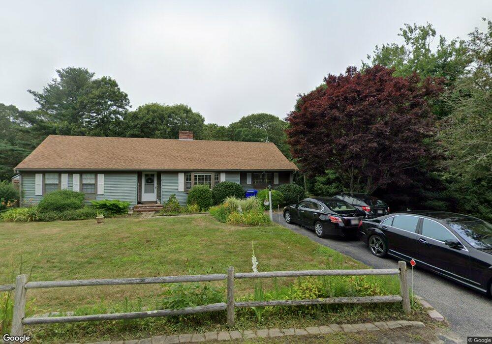
4 Willet Cir Pocasset, MA 2559
Cataumet NeighborhoodEstimated Value: $657,012 - $776,000
2
Beds
2
Baths
1,750
Sq Ft
$403/Sq Ft
Est. Value
About This Home
This home is located at 4 Willet Cir, Pocasset, MA 2559 and is currently estimated at $705,253, approximately $403 per square foot. 4 Willet Cir is a home located in Barnstable County with nearby schools including Bourne High School, Cadence Academy Preschool - Bourne, and Heritage Christian Academy.
Ownership History
Date
Name
Owned For
Owner Type
Purchase Details
Closed on
Sep 14, 2020
Sold by
Wright Kevin W and Wright Melanie L
Bought by
Brown Dylan
Current Estimated Value
Home Financials for this Owner
Home Financials are based on the most recent Mortgage that was taken out on this home.
Original Mortgage
$417,100
Outstanding Balance
$368,463
Interest Rate
2.9%
Mortgage Type
New Conventional
Estimated Equity
$336,790
Purchase Details
Closed on
Nov 7, 2011
Sold by
Charlton Harry
Bought by
Charlton Harry and Wright Kevin W
Create a Home Valuation Report for This Property
The Home Valuation Report is an in-depth analysis detailing your home's value as well as a comparison with similar homes in the area
Home Values in the Area
Average Home Value in this Area
Purchase History
| Date | Buyer | Sale Price | Title Company |
|---|---|---|---|
| Brown Dylan | $430,000 | None Available | |
| Brown Dylan | $430,000 | None Available | |
| Charlton Harry | -- | -- | |
| Charlton Harry | -- | -- |
Source: Public Records
Mortgage History
| Date | Status | Borrower | Loan Amount |
|---|---|---|---|
| Open | Brown Dylan | $417,100 | |
| Closed | Brown Dylan | $417,100 |
Source: Public Records
Tax History Compared to Growth
Tax History
| Year | Tax Paid | Tax Assessment Tax Assessment Total Assessment is a certain percentage of the fair market value that is determined by local assessors to be the total taxable value of land and additions on the property. | Land | Improvement |
|---|---|---|---|---|
| 2025 | $4,528 | $579,800 | $243,400 | $336,400 |
| 2024 | $4,428 | $552,100 | $231,800 | $320,300 |
| 2023 | $4,305 | $488,700 | $205,200 | $283,500 |
| 2022 | $4,469 | $442,900 | $217,900 | $225,000 |
| 2021 | $4,207 | $390,600 | $198,300 | $192,300 |
| 2020 | $4,084 | $380,300 | $196,400 | $183,900 |
| 2019 | $3,912 | $372,200 | $196,400 | $175,800 |
| 2018 | $3,646 | $345,900 | $187,100 | $158,800 |
| 2017 | $3,613 | $350,800 | $191,500 | $159,300 |
| 2016 | $3,488 | $343,300 | $191,500 | $151,800 |
| 2015 | $3,332 | $330,900 | $179,100 | $151,800 |
Source: Public Records
Map
Nearby Homes