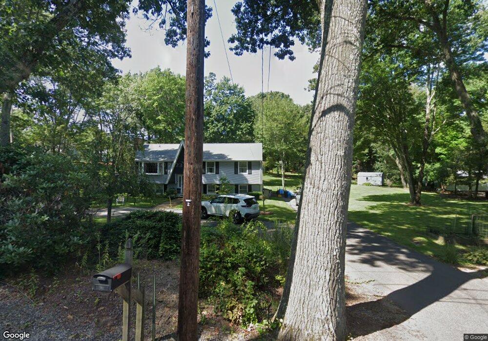
4 Willis Ln Foxboro, MA 02035
Estimated Value: $637,761 - $754,000
3
Beds
3
Baths
1,234
Sq Ft
$562/Sq Ft
Est. Value
About This Home
This home is located at 4 Willis Ln, Foxboro, MA 02035 and is currently estimated at $693,190, approximately $561 per square foot. 4 Willis Ln is a home located in Norfolk County with nearby schools including Foxborough High School, Foxborough Regional Charter School, and The Sage School.
Ownership History
Date
Name
Owned For
Owner Type
Purchase Details
Closed on
Oct 11, 2012
Sold by
Thorsell Robert L and Thorsell Susan J
Bought by
4 Willias Ln Foxboro I
Current Estimated Value
Purchase Details
Closed on
Jun 15, 1977
Bought by
Thorsell Michael T and Thorsell Gregory S
Create a Home Valuation Report for This Property
The Home Valuation Report is an in-depth analysis detailing your home's value as well as a comparison with similar homes in the area
Home Values in the Area
Average Home Value in this Area
Purchase History
| Date | Buyer | Sale Price | Title Company |
|---|---|---|---|
| 4 Willias Ln Foxboro I | -- | -- | |
| Thorsell Michael T | $12,000 | -- |
Source: Public Records
Mortgage History
| Date | Status | Borrower | Loan Amount |
|---|---|---|---|
| Previous Owner | Thorsell Michael T | $128,000 | |
| Previous Owner | Thorsell Michael T | $144,000 | |
| Previous Owner | Thorsell Michael T | $126,000 |
Source: Public Records
Tax History
| Year | Tax Paid | Tax Assessment Tax Assessment Total Assessment is a certain percentage of the fair market value that is determined by local assessors to be the total taxable value of land and additions on the property. | Land | Improvement |
|---|---|---|---|---|
| 2025 | $7,574 | $572,900 | $288,300 | $284,600 |
| 2024 | $7,456 | $551,900 | $293,500 | $258,400 |
| 2023 | $7,257 | $510,700 | $279,700 | $231,000 |
| 2022 | $6,607 | $455,000 | $234,700 | $220,300 |
| 2021 | $6,158 | $417,800 | $217,300 | $200,500 |
| 2020 | $5,757 | $395,100 | $217,300 | $177,800 |
| 2019 | $5,608 | $381,500 | $206,900 | $174,600 |
| 2018 | $5,464 | $375,000 | $206,900 | $168,100 |
| 2017 | $5,314 | $353,300 | $193,300 | $160,000 |
| 2016 | $5,381 | $363,100 | $195,000 | $168,100 |
| 2015 | $5,107 | $336,200 | $164,900 | $171,300 |
| 2014 | $4,878 | $325,400 | $154,100 | $171,300 |
Source: Public Records
Map
Nearby Homes
- 2 Thompson Rd
- 73 Ridge Rd
- 1686 Washington St
- 180 Old Post Rd Unit 202
- 180 Old Post Rd Unit 206
- 180 Old Post Rd Unit 308
- 180 Old Post Rd Unit 201
- 180 Old Post Rd Unit 405
- 180 Old Post Rd Unit 207
- 260 Summer St
- 16R Eldor Dr
- 1549 Washington St Unit A
- 668 S Main St
- 667 South St
- 0 U S Route 1
- 96 Main St Unit E4
- 147 Chestnut St Unit A
- 147 Chestnut St Unit B
- 587 Common St
- 54 Main St Unit A