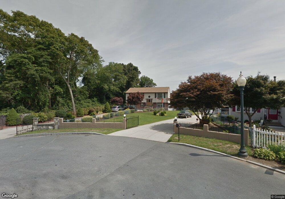
4 Windsong Cir New Bedford, MA 02745
Acushnet-Pine Hill NeighborhoodEstimated Value: $474,000 - $531,000
3
Beds
2
Baths
1,787
Sq Ft
$286/Sq Ft
Est. Value
About This Home
This home is located at 4 Windsong Cir, New Bedford, MA 02745 and is currently estimated at $511,550, approximately $286 per square foot. 4 Windsong Cir is a home located in Bristol County with nearby schools including Elwyn G. Campbell Elementary school, Normandin Middle School, and New Bedford High School.
Ownership History
Date
Name
Owned For
Owner Type
Purchase Details
Closed on
Dec 31, 1990
Sold by
Figuerado James
Bought by
Figuerado James
Current Estimated Value
Purchase Details
Closed on
Jan 17, 1989
Sold by
Mcnally Michael J
Bought by
Figuerado James
Home Financials for this Owner
Home Financials are based on the most recent Mortgage that was taken out on this home.
Original Mortgage
$70,400
Interest Rate
10.39%
Mortgage Type
Purchase Money Mortgage
Create a Home Valuation Report for This Property
The Home Valuation Report is an in-depth analysis detailing your home's value as well as a comparison with similar homes in the area
Home Values in the Area
Average Home Value in this Area
Purchase History
| Date | Buyer | Sale Price | Title Company |
|---|---|---|---|
| Figuerado James | $60,000 | -- | |
| Figuerado James | $88,000 | -- |
Source: Public Records
Mortgage History
| Date | Status | Borrower | Loan Amount |
|---|---|---|---|
| Closed | Figuerado James | $96,000 | |
| Closed | Figuerado James | $45,000 | |
| Previous Owner | Figuerado James | $70,400 |
Source: Public Records
Tax History Compared to Growth
Tax History
| Year | Tax Paid | Tax Assessment Tax Assessment Total Assessment is a certain percentage of the fair market value that is determined by local assessors to be the total taxable value of land and additions on the property. | Land | Improvement |
|---|---|---|---|---|
| 2025 | $4,931 | $436,000 | $145,200 | $290,800 |
| 2024 | $4,732 | $394,300 | $145,200 | $249,100 |
| 2023 | $5,000 | $349,900 | $119,600 | $230,300 |
| 2022 | $4,597 | $295,800 | $111,000 | $184,800 |
| 2021 | $4,376 | $280,700 | $108,900 | $171,800 |
| 2020 | $4,316 | $267,100 | $108,900 | $158,200 |
| 2019 | $4,267 | $259,100 | $108,900 | $150,200 |
| 2018 | $4,138 | $248,800 | $108,900 | $139,900 |
| 2017 | $3,837 | $229,900 | $102,500 | $127,400 |
| 2016 | $3,615 | $219,200 | $98,200 | $121,000 |
| 2015 | $3,368 | $214,100 | $98,200 | $115,900 |
| 2014 | $3,225 | $212,700 | $98,200 | $114,500 |
Source: Public Records
Map
Nearby Homes
- 1023 Bowles St
- 1044 Phillips Rd Unit 20
- 1044 Phillips Rd Unit 24
- 2981 Acushnet Ave
- 1044 Victoria St Unit B-29
- 2992 Acushnet Ave
- 1158 Joyce St
- 3020 Acushnet Ave
- 1164 Victoria St
- 1214 Church St
- 957 Glen St
- 0 Church Dutton & Chaffee Unit 73371719
- 1251 Church St Unit 10
- 1261 Church St Unit 70
- 1261 Church St Unit 46
- 1261 Church St Unit 53
- 868 Phillips Rd
- ES Acushnet Ave
- 40 Nancy St
- 26 Rounseville St
- 8 Windsong Cir
- 16 Windsong Cir
- 14 Leland St
- 24 Windsong Cir
- 1053 Bowles St
- 1055 Bowles St
- 1061 Bowles St
- 1035 Bowles St
- 30 Windsong Cir
- 26 Leland St
- 1052 Bowles St
- 36 Windsong Cir
- 1046 Bowles St Unit B
- 1046 Bowles St
- 1071 Bowles St
- 1044 Phillips Rd Unit 23
- 1044 Phillips Rd Unit 7
- 1044 Phillips Rd Unit 14
- 1044 Phillips Rd Unit 15
- 1044 Phillips Rd Unit 22