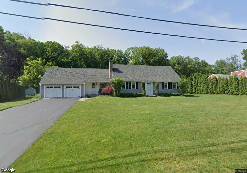
4 Wright Place Wilbraham, MA 01095
Estimated Value: $508,292 - $596,000
4
Beds
2
Baths
2,009
Sq Ft
$271/Sq Ft
Est. Value
About This Home
This home is located at 4 Wright Place, Wilbraham, MA 01095 and is currently estimated at $544,073, approximately $270 per square foot. 4 Wright Place is a home located in Hampden County with nearby schools including Minnechaug Regional High School, Springfield International Charter School, and Wilbraham & Monson Academy.
Ownership History
Date
Name
Owned For
Owner Type
Purchase Details
Closed on
Aug 29, 1994
Sold by
Gilson Howard L and Gilson Bernice M
Bought by
Shea Michael O and Ditomassi Dawn E
Current Estimated Value
Home Financials for this Owner
Home Financials are based on the most recent Mortgage that was taken out on this home.
Original Mortgage
$146,200
Interest Rate
8.65%
Mortgage Type
Purchase Money Mortgage
Create a Home Valuation Report for This Property
The Home Valuation Report is an in-depth analysis detailing your home's value as well as a comparison with similar homes in the area
Home Values in the Area
Average Home Value in this Area
Purchase History
| Date | Buyer | Sale Price | Title Company |
|---|---|---|---|
| Shea Michael O | $153,900 | -- |
Source: Public Records
Mortgage History
| Date | Status | Borrower | Loan Amount |
|---|---|---|---|
| Open | Shea Michael O | $143,000 | |
| Closed | Shea Michael O | $146,200 | |
| Previous Owner | Shea Michael O | $50,000 |
Source: Public Records
Tax History
| Year | Tax Paid | Tax Assessment Tax Assessment Total Assessment is a certain percentage of the fair market value that is determined by local assessors to be the total taxable value of land and additions on the property. | Land | Improvement |
|---|---|---|---|---|
| 2025 | $7,831 | $438,000 | $96,300 | $341,700 |
| 2024 | $7,283 | $393,700 | $96,300 | $297,400 |
| 2023 | $6,891 | $365,200 | $96,300 | $268,900 |
| 2022 | $6,891 | $336,300 | $96,300 | $240,000 |
| 2021 | $6,569 | $286,100 | $103,500 | $182,600 |
| 2020 | $6,403 | $286,100 | $103,500 | $182,600 |
| 2019 | $6,239 | $286,200 | $103,500 | $182,700 |
| 2018 | $6,004 | $265,200 | $103,500 | $161,700 |
| 2017 | $5,834 | $265,200 | $103,500 | $161,700 |
| 2016 | $5,622 | $260,300 | $115,000 | $145,300 |
| 2015 | $5,435 | $260,300 | $115,000 | $145,300 |
Source: Public Records
Map
Nearby Homes
- 8 Patriot Ridge Ln
- 20 Old Orchard Rd
- 6 Hilltop Park
- 474 Mountain Rd
- 104 High Pine Cir
- 1 Aspen Dr
- 474-480 Mountain Rd
- 5 Northwood Dr
- 35 Lake Dr
- 46 Washington Rd
- 4 Hillcrest Dr
- 6 Teak Terrace Unit 24
- 103 Sandalwood Dr Unit site 00
- 57 Sandalwood Dr Unit site 61
- 111 Sandalwood Dr Unit site 00
- 84 Sandalwood Dr Unit site 00
- 26 Sandalwood Dr
- 3 Mohawk St
- 603 Glendale Rd
- 16 Maple St
Your Personal Tour Guide
Ask me questions while you tour the home.