40 130th Ave Wayland, MI 49348
Estimated Value: $290,000 - $1,011,000
--
Bed
3
Baths
1,716
Sq Ft
$330/Sq Ft
Est. Value
About This Home
This home is located at 40 130th Ave, Wayland, MI 49348 and is currently estimated at $566,333, approximately $330 per square foot. 40 130th Ave is a home located in Allegan County with nearby schools including Wayland High School.
Ownership History
Date
Name
Owned For
Owner Type
Purchase Details
Closed on
Oct 22, 2021
Sold by
Johnson Wesley A
Bought by
Jensen Todd C and Todd C Jensen Trust
Current Estimated Value
Purchase Details
Closed on
Jun 11, 1997
Sold by
Reed Dan Lane
Bought by
Johnson Wesley A
Purchase Details
Closed on
Jun 6, 1997
Sold by
Johnson Wesley A
Bought by
Johnson Wesley and Johnson Elizabeth
Purchase Details
Closed on
Apr 10, 1997
Sold by
Reed Daniel Lane
Bought by
Johnson Wesley A
Purchase Details
Closed on
Apr 1, 1997
Bought by
Johnson
Create a Home Valuation Report for This Property
The Home Valuation Report is an in-depth analysis detailing your home's value as well as a comparison with similar homes in the area
Home Values in the Area
Average Home Value in this Area
Purchase History
| Date | Buyer | Sale Price | Title Company |
|---|---|---|---|
| Jensen Todd C | $832,500 | None Available | |
| Johnson Wesley A | $70,000 | -- | |
| Johnson Wesley | -- | -- | |
| Johnson Wesley A | $70,000 | -- | |
| Johnson | $70,000 | -- |
Source: Public Records
Tax History Compared to Growth
Tax History
| Year | Tax Paid | Tax Assessment Tax Assessment Total Assessment is a certain percentage of the fair market value that is determined by local assessors to be the total taxable value of land and additions on the property. | Land | Improvement |
|---|---|---|---|---|
| 2025 | $2,257 | $175,900 | $38,300 | $137,600 |
| 2024 | $1,975 | $157,700 | $37,600 | $120,100 |
| 2023 | $2,025 | $143,700 | $36,100 | $107,600 |
| 2022 | $1,975 | $123,300 | $20,500 | $102,800 |
| 2021 | $1,882 | $115,700 | $20,500 | $95,200 |
| 2020 | $1,837 | $122,100 | $18,600 | $103,500 |
| 2019 | $1,811 | $99,200 | $18,600 | $80,600 |
| 2018 | $1,777 | $88,400 | $22,300 | $66,100 |
| 2017 | $0 | $90,400 | $22,300 | $68,100 |
| 2016 | $0 | $83,900 | $21,500 | $62,400 |
| 2015 | -- | $83,900 | $21,500 | $62,400 |
| 2014 | -- | $59,700 | $21,700 | $38,000 |
| 2013 | -- | $55,000 | $21,700 | $33,300 |
Source: Public Records
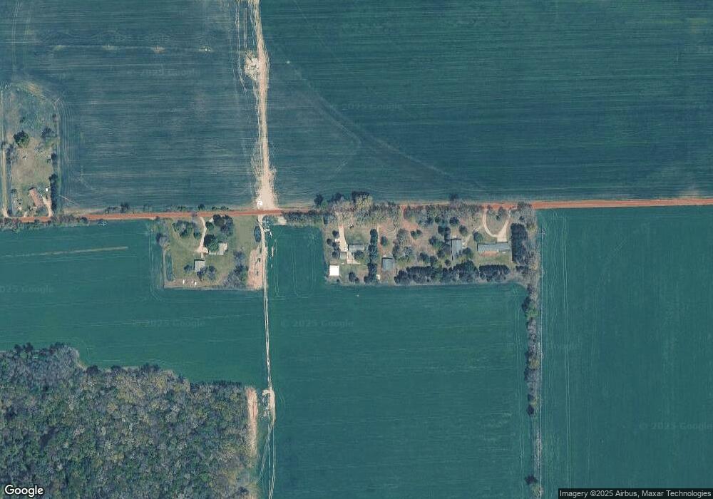
Map
Nearby Homes
- 12169 Pine Meadows Dr
- 1736 Parker Dr
- 12031 Sandstone Dr
- 2724 Pasture Ln
- 1980 Parker Dr
- 12712 Sunrise Ct
- 35 Cannonball Ln
- 12940 Cleland Ave
- 3140 Sandy Beach St
- 12720 S Grey Ct
- 1164 E Bernie Ct
- 12857 Michael Dr Unit 49
- 11065 W M 179 Hwy
- 516 131st Ave
- 1391 Shadowridge Dr
- 590 129th Ave
- 11753 Rosemary Ln
- 11751 Rosemary Ln
- 3298 Elmwood Beach Rd
- 2841 Odawa Trail
- 34 130th Ave
- 100 130th Ave
- 127 130th Ave
- Lot B Patterson Rd
- Lot A Patterson Rd
- 1083 S Patterson Rd
- 1075 S Patterson Rd
- 71 129th Ave
- 1207 S Patterson Rd
- 76 129th Ave
- 12924 Rison Dr
- 1087 S Patterson Rd
- 8 Rison Dr
- 0 Rison Dr Unit 21 M16048640
- 0 Rison Dr Unit 24 M16048648
- 0 Rison Dr Unit 23 M16048645
- 0 Rison Dr Unit 22
- 19 129th Ave
- 114 129th Ave
- 108 131st Ave