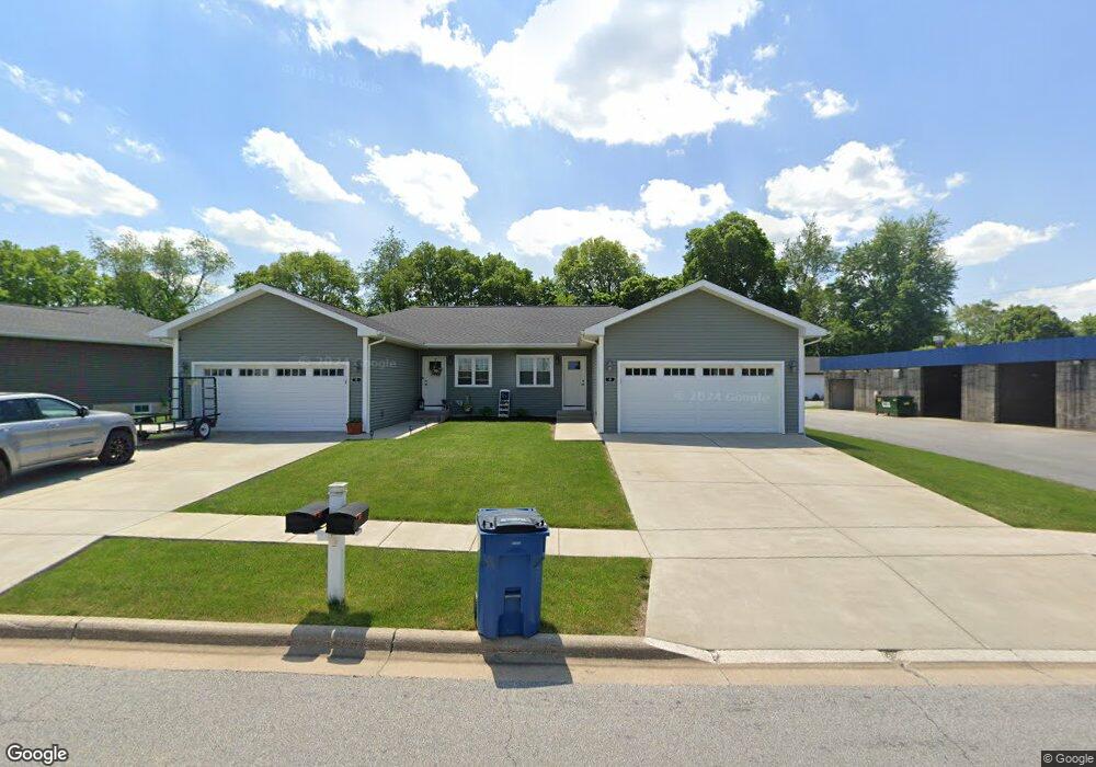
40 Allan John Dr Westville, IN 46391
Estimated Value: $215,000 - $247,000
3
Beds
3
Baths
1,600
Sq Ft
$143/Sq Ft
Est. Value
About This Home
This home is located at 40 Allan John Dr, Westville, IN 46391 and is currently estimated at $228,493, approximately $142 per square foot. 40 Allan John Dr is a home located in LaPorte County with nearby schools including Westville Elementary School and Westville High School.
Ownership History
Date
Name
Owned For
Owner Type
Purchase Details
Closed on
Dec 11, 2019
Sold by
Carney Brett
Bought by
Westville Rentals Llc
Current Estimated Value
Purchase Details
Closed on
Jun 30, 2016
Sold by
Bell Construction Inc
Bought by
Carney Brett
Purchase Details
Closed on
Sep 14, 2006
Sold by
Parkman Nancy S and Parkman Mark D
Bought by
Bell Construction Inc
Home Financials for this Owner
Home Financials are based on the most recent Mortgage that was taken out on this home.
Original Mortgage
$500,000
Interest Rate
6.59%
Mortgage Type
Construction
Create a Home Valuation Report for This Property
The Home Valuation Report is an in-depth analysis detailing your home's value as well as a comparison with similar homes in the area
Home Values in the Area
Average Home Value in this Area
Purchase History
| Date | Buyer | Sale Price | Title Company |
|---|---|---|---|
| Westville Rentals Llc | -- | None Available | |
| Carney Brett | $550,000 | -- | |
| Bell Construction Inc | -- | Ticor Title Insurance Co |
Source: Public Records
Mortgage History
| Date | Status | Borrower | Loan Amount |
|---|---|---|---|
| Previous Owner | Bell Construction Inc | $500,000 |
Source: Public Records
Tax History Compared to Growth
Tax History
| Year | Tax Paid | Tax Assessment Tax Assessment Total Assessment is a certain percentage of the fair market value that is determined by local assessors to be the total taxable value of land and additions on the property. | Land | Improvement |
|---|---|---|---|---|
| 2024 | $2,933 | $150,300 | $11,900 | $138,400 |
| 2023 | $2,782 | $139,200 | $11,300 | $127,800 |
| 2022 | $2,726 | $136,300 | $10,100 | $126,200 |
| 2021 | $2,672 | $133,600 | $10,700 | $122,900 |
| 2020 | $2,450 | $133,600 | $10,700 | $122,900 |
| 2019 | $2,546 | $122,500 | $9,800 | $112,700 |
| 2018 | $2,546 | $122,500 | $24,500 | $98,000 |
| 2017 | $5,987 | $286,800 | $21,600 | $265,200 |
| 2016 | $608 | $11,900 | $11,900 | $0 |
| 2014 | $285 | $11,900 | $11,900 | $0 |
Source: Public Records
Map
Nearby Homes
- 403 Liberty Ave
- 306 Clyborn St
- 601 Mary Dr
- 200 E Jefferson St
- 356 W Jefferson St
- 701 Jacob Dr
- 108 Railroad St
- 1 Avenue B
- 604 Stanley Dr
- 655 Fairview St
- 0 N 550 E Unit NRA829843
- 0 N 550 E Unit NRA829842
- 0 N 550 E Unit NRA829828
- 0 N 550 E Unit NRA829840
- 8008 W 350 S
- 1824 Creekside Ct
- 10222 W Rolling Meadows Dr
- 1796 S Rolling Meadows Dr
- Lot 18 S Rolling Meadows Dr
- Lot 17 S Rolling Meadows Dr
- 450 N Flynn Rd
- 70 Alan John Dr
- 604 Commercial Dr
- 101 Liberty Ct
- 100 Alan John Dr
- 601 Chandler Dr
- 603 Chandler Dr
- 100 Liberty Ct
- 607 Chandler Dr
- 607 Chandler Dr
- 404 N Flynn Rd
- 402 N Flynn Rd
- 103 Liberty Ct
- 609 Chandler Dr
- 609 Chandler Dr
- 57 North St
- 57 North St Unit 57 north st
- 102 Liberty Ct
- 401 N Flynn Rd
- 613 Chandler Dr