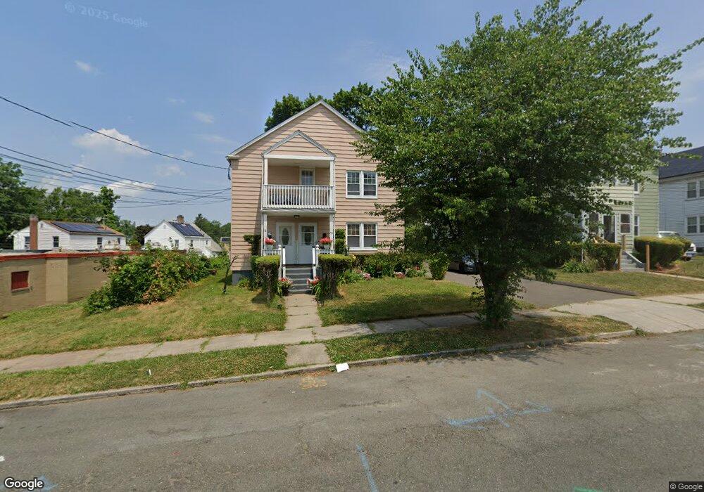
40 Andover St Unit 42 Hartford, CT 06112
Blue Hills NeighborhoodEstimated Value: $311,042 - $458,000
6
Beds
2
Baths
2,909
Sq Ft
$133/Sq Ft
Est. Value
About This Home
This home is located at 40 Andover St Unit 42, Hartford, CT 06112 and is currently estimated at $387,511, approximately $133 per square foot. 40 Andover St Unit 42 is a home located in Hartford County with nearby schools including Rawson School, Breakthrough Magnet School - North Campus, and West Middle School.
Ownership History
Date
Name
Owned For
Owner Type
Purchase Details
Closed on
Mar 24, 2021
Sold by
Davis Donoran and Davis Dohlia M
Bought by
Davis Donoran and Davis Dohlia M
Current Estimated Value
Purchase Details
Closed on
Jun 26, 2006
Sold by
Davis Jean
Bought by
Davis Donovan H
Home Financials for this Owner
Home Financials are based on the most recent Mortgage that was taken out on this home.
Original Mortgage
$180,000
Interest Rate
6.59%
Create a Home Valuation Report for This Property
The Home Valuation Report is an in-depth analysis detailing your home's value as well as a comparison with similar homes in the area
Home Values in the Area
Average Home Value in this Area
Purchase History
| Date | Buyer | Sale Price | Title Company |
|---|---|---|---|
| Davis Donoran | -- | None Available | |
| Davis Donovan H | $225,000 | -- |
Source: Public Records
Mortgage History
| Date | Status | Borrower | Loan Amount |
|---|---|---|---|
| Previous Owner | Davis Donovan H | $174,300 | |
| Previous Owner | Davis Donovan H | $180,000 | |
| Previous Owner | Davis Donovan H | $101,500 |
Source: Public Records
Tax History Compared to Growth
Tax History
| Year | Tax Paid | Tax Assessment Tax Assessment Total Assessment is a certain percentage of the fair market value that is determined by local assessors to be the total taxable value of land and additions on the property. | Land | Improvement |
|---|---|---|---|---|
| 2025 | $7,206 | $104,517 | $6,064 | $98,453 |
| 2024 | $7,206 | $104,517 | $6,064 | $98,453 |
| 2023 | $7,206 | $104,517 | $6,064 | $98,453 |
| 2022 | $7,206 | $104,517 | $6,064 | $98,453 |
| 2021 | $4,776 | $64,295 | $7,140 | $57,155 |
| 2020 | $4,776 | $64,295 | $7,140 | $57,155 |
| 2019 | $4,776 | $64,295 | $7,140 | $57,155 |
| 2018 | $4,615 | $62,127 | $6,899 | $55,228 |
| 2016 | $4,688 | $63,099 | $6,570 | $56,529 |
| 2015 | $4,465 | $60,102 | $6,259 | $53,843 |
| 2014 | $4,356 | $58,633 | $6,106 | $52,527 |
Source: Public Records
Map
Nearby Homes
- 218 Holcomb St Unit 220
- 211 Holcomb St Unit 213
- 355 Cornwall St Unit 357
- 90 Manchester St
- 157 Pembroke St Unit 159
- 179 Manchester St
- 144 Thomaston St
- 86 Hartland St
- 11 Pershing St Unit 13
- 10 Baltic St Unit 12
- 36 Baltic St Unit 38
- 70 Burnham St Unit 72
- 125 Lebanon St Unit 127
- 152 Burnham St
- 25 Cornwall St
- 111 Westbourne Pkwy Unit 113
- 181 Westbourne Pkwy
- 97 Boothbay St
- 147 Morningside St W
- 109 Blue Hills Ave
- 36 Andover St Unit 38
- 32 Andover St Unit 34
- 300 Cornwall St
- 39 Andover St Unit 41
- 28 Andover St Unit 30
- 31 Andover St Unit 33
- 47 Andover St Unit 49
- 41 Westminster St
- 35 Andover St Unit 37
- 304 Cornwall St
- 55 Andover St
- 27 Andover St Unit 29
- 37 Westminster St
- 24 Andover St Unit 26
- 276 Cornwall St Unit 278
- 272 Cornwall St Unit 274
- 31 Westminster St
- 22 Andover St
- 68 Andover St