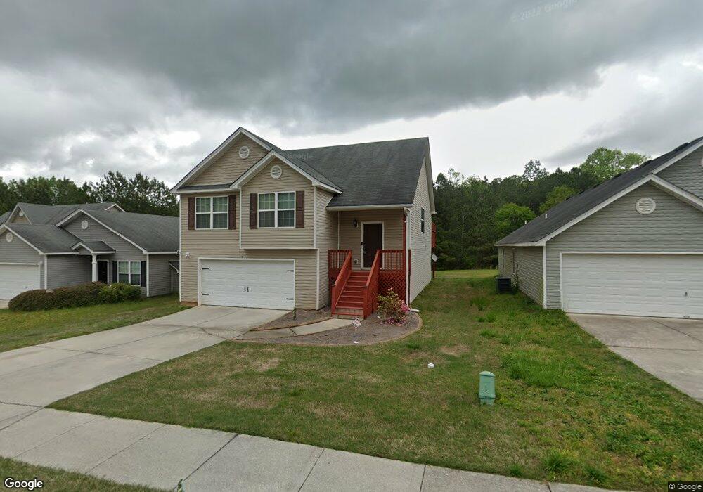
40 Artie Ct Oxford, GA 30054
Estimated Value: $248,000 - $271,000
3
Beds
2
Baths
1,384
Sq Ft
$187/Sq Ft
Est. Value
About This Home
This home is located at 40 Artie Ct, Oxford, GA 30054 and is currently estimated at $259,464, approximately $187 per square foot. 40 Artie Ct is a home located in Newton County with nearby schools including Flint Hill Elementary School, Cousins Middle School, and Newton High School.
Ownership History
Date
Name
Owned For
Owner Type
Purchase Details
Closed on
Feb 6, 2014
Sold by
Powell Ellen
Bought by
Penton Stephen and Powell Ellen
Current Estimated Value
Purchase Details
Closed on
Jun 24, 2010
Sold by
Stlouis Brenda
Bought by
Powell Ellen J
Home Financials for this Owner
Home Financials are based on the most recent Mortgage that was taken out on this home.
Original Mortgage
$45,166
Interest Rate
5.25%
Mortgage Type
FHA
Purchase Details
Closed on
Nov 6, 2006
Sold by
Damascus Hms Llc
Bought by
St Louis Brenda
Home Financials for this Owner
Home Financials are based on the most recent Mortgage that was taken out on this home.
Original Mortgage
$142,468
Interest Rate
6.25%
Mortgage Type
Stand Alone Second
Create a Home Valuation Report for This Property
The Home Valuation Report is an in-depth analysis detailing your home's value as well as a comparison with similar homes in the area
Home Values in the Area
Average Home Value in this Area
Purchase History
| Date | Buyer | Sale Price | Title Company |
|---|---|---|---|
| Penton Stephen | -- | -- | |
| Powell Ellen J | $47,000 | -- | |
| St Louis Brenda | $144,800 | -- |
Source: Public Records
Mortgage History
| Date | Status | Borrower | Loan Amount |
|---|---|---|---|
| Previous Owner | Powell Ellen J | $45,166 | |
| Previous Owner | St Louis Brenda | $142,468 |
Source: Public Records
Tax History Compared to Growth
Tax History
| Year | Tax Paid | Tax Assessment Tax Assessment Total Assessment is a certain percentage of the fair market value that is determined by local assessors to be the total taxable value of land and additions on the property. | Land | Improvement |
|---|---|---|---|---|
| 2025 | $2,767 | $109,440 | $14,000 | $95,440 |
| 2024 | $2,662 | $103,360 | $14,000 | $89,360 |
| 2023 | $2,655 | $96,240 | $6,000 | $90,240 |
| 2022 | $2,231 | $80,640 | $6,000 | $74,640 |
| 2021 | $1,689 | $54,280 | $6,000 | $48,280 |
| 2020 | $1,727 | $50,240 | $6,000 | $44,240 |
| 2019 | $1,556 | $44,480 | $6,000 | $38,480 |
| 2018 | $1,353 | $38,280 | $4,800 | $33,480 |
| 2017 | $1,169 | $32,920 | $4,800 | $28,120 |
| 2016 | $1,039 | $29,120 | $4,000 | $25,120 |
| 2015 | $996 | $27,880 | $4,000 | $23,880 |
| 2014 | $805 | $22,400 | $0 | $0 |
Source: Public Records
Map
Nearby Homes
- 80 Victoria Blvd
- 0 W Richardson St Unit 10643275
- 20 ACRES Oxford Rd
- 36 ACRES Oxford Rd
- 70 Oxford Rd
- 142 Longstreet Cir
- 497 Cook Rd
- 122 Longstreet Cir
- 405 W Richardson St
- 1417 Wesley St
- 1206 Wesley St
- 250 Stagecoach Rd
- 9226 Carlton Trail NW
- 0 Asbury St Unit 10646779
- 1310 Emory St
- 318 W Bonnell St
- 908 Emory St
- 1008 Emory St
- 205 Emory Way
- 208 Emory Way