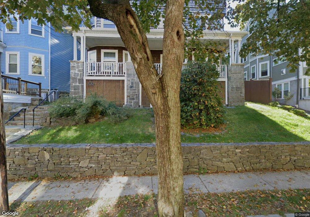
40 Atherton Rd Brookline, MA 02446
Washington Square NeighborhoodEstimated Value: $2,503,000 - $2,916,769
About This Home
This home is located at 40 Atherton Rd, Brookline, MA 02446 and is currently estimated at $2,687,692, approximately $1,343 per square foot. 40 Atherton Rd is a home located in Norfolk County with nearby schools including Michael Driscoll, Brookline High School, and Match Charter Public School.
Ownership History
We collect this data history from publicly available records. To have your information removed, we recommend requesting removal directly through your county’s website.
Purchase Details
Home Financials for this Owner
Home Financials are based on the most recent Mortgage that was taken out on this home.Home Values in the Area
Average Home Value in this Area
Purchase History
We collect this data history from publicly available records. To have your information removed, we recommend requesting removal directly through your county’s website.
| Date | Buyer | Sale Price | Title Company |
|---|---|---|---|
| $450,000 | -- |
Mortgage History
We collect this data history from publicly available records. To have your information removed, we recommend requesting removal directly through your county’s website.
| Date | Status | Borrower | Loan Amount |
|---|---|---|---|
| Open | $30,000 | ||
| Closed | $40,000 | ||
| Closed | $315,000 |
Tax History
We collect this data history from publicly available records. To have your information removed, we recommend requesting removal directly through your county’s website.
| Year | Tax Paid | Tax Assessment Tax Assessment Total Assessment is a certain percentage of the fair market value that is determined by local assessors to be the total taxable value of land and additions on the property. | Land | Improvement |
|---|---|---|---|---|
| 2025 | $25,416 | $2,575,100 | $1,179,800 | $1,395,300 |
| 2024 | $25,044 | $2,563,400 | $1,131,300 | $1,432,100 |
| 2023 | $24,857 | $2,493,200 | $1,032,900 | $1,460,300 |
| 2022 | $24,196 | $2,374,500 | $983,700 | $1,390,800 |
| 2021 | $22,375 | $2,283,200 | $945,900 | $1,337,300 |
| 2020 | $21,116 | $2,234,500 | $849,800 | $1,384,700 |
| 2019 | $19,940 | $2,128,100 | $809,300 | $1,318,800 |
| 2018 | $18,035 | $1,906,400 | $661,700 | $1,244,700 |
| 2017 | $17,439 | $1,765,100 | $624,200 | $1,140,900 |
| 2016 | $16,721 | $1,604,700 | $583,400 | $1,021,300 |
| 2015 | $15,580 | $1,458,800 | $545,200 | $913,600 |
| 2014 | $14,732 | $1,293,400 | $455,800 | $837,600 |
Map
- 1450-1454 Beacon St Unit 644
- 1450-1454 Beacon St Unit 643
- 1450-1454 Beacon St Unit 542
- 80 Mason Terrace
- 80 Mason Terrace Unit 80
- 1500 Beacon St Unit 4
- 109 Winchester St Unit 6
- 1514 Beacon St Unit 24
- 16 York Terrace
- 1471 Beacon St Unit 1
- 1471 Beacon St Unit 10
- 1401 Beacon St
- 77 Marion St
- 80 Vernon St Unit PHB
- 80 Vernon St Unit 1-A
- 80 Vernon St Unit 3B
- 41 Centre St Unit 106
- 50 Lancaster Terrace Unit 4
- 77 Jordan Rd
- 2 Mason Terrace
- 132 Mason Terrace
- 138 Mason Terrace Unit 2
- 138 Mason Terrace
- 63 Summit Ave Unit 2
- 63 Summit Ave Unit 1
- 118 Mason Terrace Unit 2
- 118 Mason Terrace
- 118 Mason Terrace
- 127 Mason Terrace Unit 2
- 127 Mason Terrace
- 127 Mason Terrace Unit 1
- 144 Mason Terrace Unit 2
- 144 Mason Terrace Unit 1
- 135 Mason Terrace
- 135 Mason Terrace Unit 2
- 52 Summit Ave Unit 3
- 52 Summit Ave Unit 2
- 52 Summit Ave Unit 1
- 131 Mason Terrace
- 70 Summit Ave
Ask me questions while you tour the home.