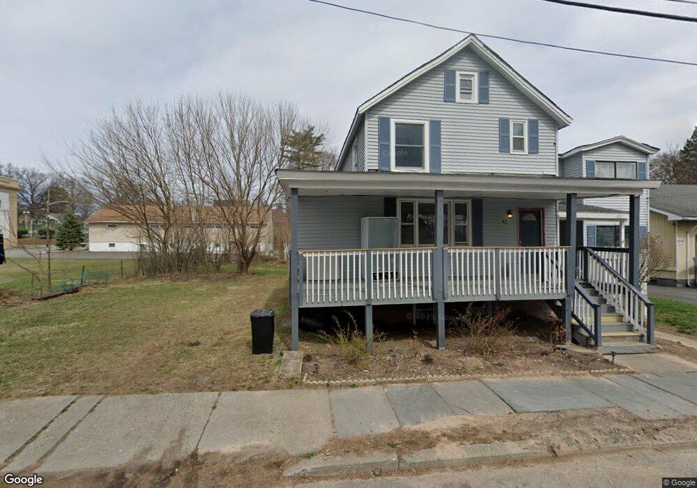
40 Barcelow St Unit 42 Port Jervis, NY 12771
Estimated Value: $264,000 - $352,000
5
Beds
2
Baths
2,336
Sq Ft
$135/Sq Ft
Est. Value
About This Home
This home is located at 40 Barcelow St Unit 42, Port Jervis, NY 12771 and is currently estimated at $315,898, approximately $135 per square foot. 40 Barcelow St Unit 42 is a home located in Orange County with nearby schools including Port Jervis High School and New Life Christian Day School.
Ownership History
Date
Name
Owned For
Owner Type
Purchase Details
Closed on
Nov 7, 2018
Sold by
Berkowitz Moshe
Bought by
Kettenring Raymond
Current Estimated Value
Purchase Details
Closed on
Jun 15, 2017
Sold by
Secretary Of Hud
Bought by
Wells Fargo Bank N A
Purchase Details
Closed on
Jul 11, 1994
Sold by
Lennox Gerald W and Lennox Connie R
Bought by
Ostrom Donald and Ostrom Maureen
Create a Home Valuation Report for This Property
The Home Valuation Report is an in-depth analysis detailing your home's value as well as a comparison with similar homes in the area
Home Values in the Area
Average Home Value in this Area
Purchase History
| Date | Buyer | Sale Price | Title Company |
|---|---|---|---|
| Kettenring Raymond | $29,000 | -- | |
| Kettenring Raymond | $29,000 | -- | |
| Wells Fargo Bank N A | -- | -- | |
| Wells Fargo Bank N A | -- | -- | |
| Ostrom Donald | $38,000 | -- | |
| Ostrom Donald | $38,000 | -- |
Source: Public Records
Tax History Compared to Growth
Tax History
| Year | Tax Paid | Tax Assessment Tax Assessment Total Assessment is a certain percentage of the fair market value that is determined by local assessors to be the total taxable value of land and additions on the property. | Land | Improvement |
|---|---|---|---|---|
| 2024 | $3,581 | $50,000 | $10,500 | $39,500 |
| 2023 | $3,346 | $46,600 | $10,000 | $36,600 |
| 2022 | $4,275 | $46,600 | $10,000 | $36,600 |
| 2021 | $3,701 | $46,600 | $10,000 | $36,600 |
| 2020 | $3,795 | $46,600 | $10,000 | $36,600 |
| 2019 | $463 | $46,600 | $10,000 | $36,600 |
| 2018 | $5,082 | $46,600 | $10,000 | $36,600 |
| 2017 | $3,666 | $46,600 | $10,000 | $36,600 |
| 2016 | $4,759 | $46,600 | $10,000 | $36,600 |
| 2015 | -- | $46,600 | $10,000 | $36,600 |
| 2014 | -- | $46,600 | $10,000 | $36,600 |
Source: Public Records
Map
Nearby Homes
- 39 Church St Unit 3
- 19 Barcelow St
- 33 Seward Ave
- 115 Hammond St
- 178-180 Ball St
- 141 Hammond St
- 138 Front St Unit 140
- 142 Ball St
- 14 Division St
- 131 Front St
- 120 Jersey Ave
- 92 Front St
- 701 United States Route 209
- 165 Front St
- 4 Elizabeth St
- 20 Kingston Ave
- 25 Bruce St
- 42 Sussex St
- 4 Catherine St
- 189 E Main St
- 42 Barcelow St
- 27 Orchard St
- 29 Orchard St
- 55 Seward Ave
- 31 Orchard St
- 41 Barcelow St
- 43 Barcelow St
- 33 Orchard St
- 45 Barcelow St
- 0 Orchard St
- 65 Seward Ave
- 72 Franklin St
- 54 Seward Ave
- 74 Franklin St
- 35 Orchard St Unit 37
- 78 Franklin St
- 52 Barcelow St
- 48 Seward Ave Unit 50
- 30 Orchard St
- 80 Franklin St