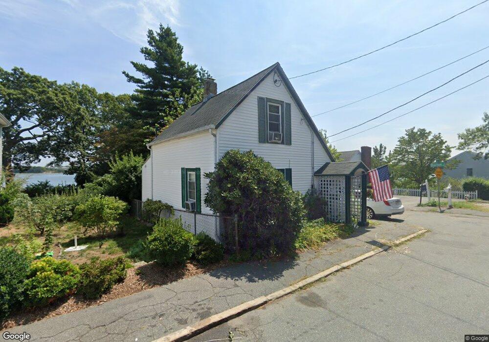
40 Beebe Rd Quincy, MA 02169
Germantown NeighborhoodEstimated Value: $432,000 - $548,000
2
Beds
1
Bath
832
Sq Ft
$574/Sq Ft
Est. Value
About This Home
This home is located at 40 Beebe Rd, Quincy, MA 02169 and is currently estimated at $477,869, approximately $574 per square foot. 40 Beebe Rd is a home located in Norfolk County with nearby schools including Snug Harbor Community School, Broad Meadows Middle School, and Quincy High School.
Ownership History
Date
Name
Owned For
Owner Type
Purchase Details
Closed on
Dec 21, 1995
Sold by
Sindorf Bryan
Bought by
Brownlow William A
Current Estimated Value
Purchase Details
Closed on
May 22, 1987
Sold by
Cahill Robert A
Bought by
Sindorf Bryan
Create a Home Valuation Report for This Property
The Home Valuation Report is an in-depth analysis detailing your home's value as well as a comparison with similar homes in the area
Home Values in the Area
Average Home Value in this Area
Purchase History
| Date | Buyer | Sale Price | Title Company |
|---|---|---|---|
| Brownlow William A | $105,000 | -- | |
| Sindorf Bryan | $119,900 | -- |
Source: Public Records
Mortgage History
| Date | Status | Borrower | Loan Amount |
|---|---|---|---|
| Open | Sindorf Bryan | $127,000 | |
| Closed | Sindorf Bryan | $24,500 |
Source: Public Records
Tax History
| Year | Tax Paid | Tax Assessment Tax Assessment Total Assessment is a certain percentage of the fair market value that is determined by local assessors to be the total taxable value of land and additions on the property. | Land | Improvement |
|---|---|---|---|---|
| 2025 | $4,281 | $371,300 | $214,500 | $156,800 |
| 2024 | $4,120 | $365,600 | $214,500 | $151,100 |
| 2023 | $3,766 | $338,400 | $195,000 | $143,400 |
| 2022 | $3,404 | $284,100 | $150,000 | $134,100 |
| 2021 | $3,033 | $249,800 | $130,400 | $119,400 |
| 2020 | $3,117 | $250,800 | $144,900 | $105,900 |
| 2019 | $2,983 | $237,700 | $133,000 | $104,700 |
| 2018 | $2,953 | $221,400 | $126,600 | $94,800 |
| 2017 | $2,884 | $203,500 | $115,100 | $88,400 |
| 2016 | $3,054 | $212,700 | $127,900 | $84,800 |
| 2015 | $2,840 | $194,500 | $116,300 | $78,200 |
| 2014 | $2,568 | $172,800 | $105,700 | $67,100 |
Source: Public Records
Map
Nearby Homes
- 10 Forbush Ave
- 162 Palmer St
- 36 Palmer St
- 599 Sea St Unit 2
- 599 Sea St Unit 1
- 503 Sea St
- 96 Utica St
- 200 Cove Way Unit 304
- 200 Cove Way Unit 614
- 107 Baxter Ave
- 25 Moffat Rd
- 62 Lawn Ave
- 11 Plover Rd
- 500 Washington St Unit 201
- 59 Terne Rd
- 585 Washington St Unit 202
- 585 Washington St Unit model-1
- 18 Allerton St
- 388 Washington St Unit 301
- 388 Washington St Unit 205
- 53 Riverbank Rd
- 36 Beebe Rd
- 44 Riverbank Rd
- 55 Riverbank Rd Unit 55
- 33 Beebe Rd
- 43 Riverbank Rd
- 30 Beebe Rd
- 31 Beebe Rd
- 39 Riverbank Rd
- 53-55 Riverbank Rd Unit 55
- 28 Beebe Rd
- 52 Beebe Rd Unit 1
- 37 Riverbank Rd
- 27 Beebe Rd
- 24 Oakwood Rd
- 26 Oakwood Rd
- 20 Beebe Rd
- 31 Riverbank Rd
- 23 Beebe Rd
- 20 Oakwood Rd
Your Personal Tour Guide
Ask me questions while you tour the home.