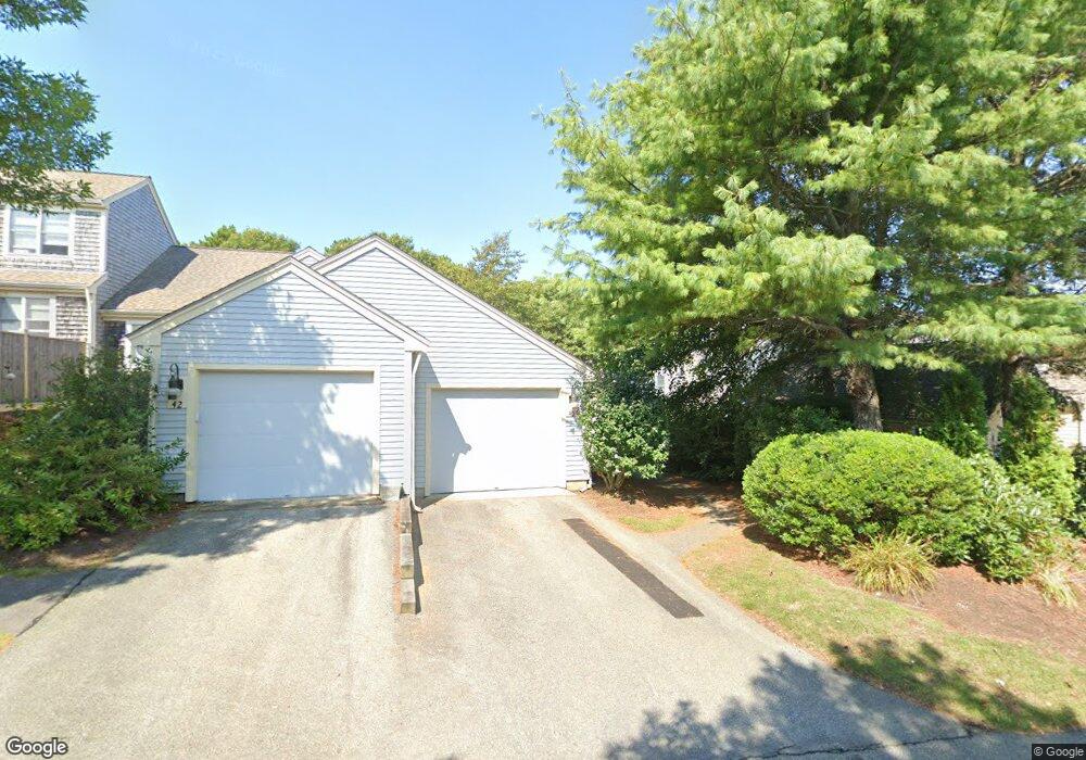
40 Blueberry Path Unit M Yarmouth Port, MA 02675
Yarmouth Port NeighborhoodEstimated Value: $430,286 - $521,000
2
Beds
2
Baths
946
Sq Ft
$493/Sq Ft
Est. Value
About This Home
This home is located at 40 Blueberry Path Unit M, Yarmouth Port, MA 02675 and is currently estimated at $466,322, approximately $492 per square foot. 40 Blueberry Path Unit M is a home located in Barnstable County with nearby schools including Dennis-Yarmouth Regional High School.
Ownership History
Date
Name
Owned For
Owner Type
Purchase Details
Closed on
May 13, 2021
Sold by
Green Christopher W
Bought by
Dugre Laura L
Current Estimated Value
Purchase Details
Closed on
Nov 19, 2012
Sold by
Green Thomas H
Bought by
Green Christopher W
Purchase Details
Closed on
Oct 21, 2011
Sold by
Carey Joseph L and Carey Kathleen F
Bought by
Green Thomas H
Purchase Details
Closed on
Dec 7, 2000
Sold by
Kings Way Prop Rt
Bought by
Carey Joseph L
Home Financials for this Owner
Home Financials are based on the most recent Mortgage that was taken out on this home.
Original Mortgage
$128,800
Interest Rate
7.64%
Mortgage Type
Purchase Money Mortgage
Create a Home Valuation Report for This Property
The Home Valuation Report is an in-depth analysis detailing your home's value as well as a comparison with similar homes in the area
Home Values in the Area
Average Home Value in this Area
Purchase History
| Date | Buyer | Sale Price | Title Company |
|---|---|---|---|
| Dugre Laura L | $355,000 | None Available | |
| Green Christopher W | -- | -- | |
| Green Thomas H | $245,000 | -- | |
| Carey Joseph L | $194,013 | -- |
Source: Public Records
Mortgage History
| Date | Status | Borrower | Loan Amount |
|---|---|---|---|
| Previous Owner | Carey Joseph L | $128,800 |
Source: Public Records
Tax History Compared to Growth
Tax History
| Year | Tax Paid | Tax Assessment Tax Assessment Total Assessment is a certain percentage of the fair market value that is determined by local assessors to be the total taxable value of land and additions on the property. | Land | Improvement |
|---|---|---|---|---|
| 2025 | $3,015 | $425,800 | $0 | $425,800 |
| 2024 | $3,285 | $445,100 | $0 | $445,100 |
| 2023 | $2,358 | $290,800 | $0 | $290,800 |
| 2022 | $2,260 | $246,200 | $0 | $246,200 |
| 2021 | $2,508 | $262,300 | $0 | $262,300 |
| 2020 | $2,659 | $265,900 | $0 | $265,900 |
| 2019 | $2,492 | $246,700 | $0 | $246,700 |
| 2018 | $2,341 | $227,500 | $0 | $227,500 |
| 2017 | $2,183 | $217,900 | $0 | $217,900 |
| 2016 | $2,078 | $208,200 | $0 | $208,200 |
| 2015 | $2,008 | $200,000 | $0 | $200,000 |
Source: Public Records
Map
Nearby Homes
- 2 Pine Grove
- 25 Oak Glen
- 25 Oak Glen Village Unit 25
- 7 Forest Gate Unit 7
- 30 W Woods Cir Unit 30
- 30 W Woods
- 43 Canterbury Rd
- 1 Barnacle Rd
- 17 Kates Path Unit A
- 228 Kates Path
- 34 Kates Path
- 34 Kates Path Unit 34
- 86 Pompano Rd
- 24 Minnetuxet Way
- 23 Dauphine Dr
- 64 Kates Path
- 44 Stratford Ln
- 50 John Hall Cartway
- 50 John Hall Cartway Unit 50
- 42 John Hall Cartway Unit 42
- 46 Blueberry Path
- 40 Blueberry Path
- 40 Blueberry Path
- 38 Blueberry Path
- 30 Blueberry Path
- 28 Blueberry Path
- 28 Blueberry Path Unit 28 P
- 38 Blueberry Path Unit P
- 28 Blueberry Path Unit P
- 38 Blueberry Path Unit 38
- 38 Blueberry Path Unit 38
- 25 Blueberry Path
- 25 Blueberry Path Unit D
- 48 Blueberry Path
- 44 Blueberry Path
- 34 Blueberry Path
- 33 Blueberry Path
- 31 Blueberry Path
- 29 Blueberry Path
- 27 Blueberry Path