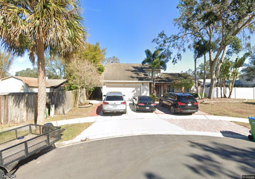
40 Bourne Cir Palm Harbor, FL 34683
Estimated Value: $594,710 - $685,000
--
Bed
3
Baths
2,610
Sq Ft
$244/Sq Ft
Est. Value
About This Home
This home is located at 40 Bourne Cir, Palm Harbor, FL 34683 and is currently estimated at $637,678, approximately $244 per square foot. 40 Bourne Cir is a home located in Pinellas County with nearby schools including Ozona Elementary School, Palm Harbor Middle School, and Palm Harbor University High.
Ownership History
Date
Name
Owned For
Owner Type
Purchase Details
Closed on
Oct 31, 2005
Sold by
Forman Clarie L and Mitchell Michael C
Bought by
Abasial Richard G and Abasial Teresa A
Current Estimated Value
Home Financials for this Owner
Home Financials are based on the most recent Mortgage that was taken out on this home.
Original Mortgage
$288,000
Outstanding Balance
$155,089
Interest Rate
5.76%
Mortgage Type
Fannie Mae Freddie Mac
Estimated Equity
$482,589
Purchase Details
Closed on
Jan 19, 1995
Sold by
Forman Claire L and Mitchell Michael C
Bought by
Forman Claire L and Mitchell Michael C
Create a Home Valuation Report for This Property
The Home Valuation Report is an in-depth analysis detailing your home's value as well as a comparison with similar homes in the area
Home Values in the Area
Average Home Value in this Area
Purchase History
| Date | Buyer | Sale Price | Title Company |
|---|---|---|---|
| Abasial Richard G | $360,000 | -- | |
| Forman Claire L | -- | -- |
Source: Public Records
Mortgage History
| Date | Status | Borrower | Loan Amount |
|---|---|---|---|
| Open | Abasial Richard G | $288,000 |
Source: Public Records
Tax History Compared to Growth
Tax History
| Year | Tax Paid | Tax Assessment Tax Assessment Total Assessment is a certain percentage of the fair market value that is determined by local assessors to be the total taxable value of land and additions on the property. | Land | Improvement |
|---|---|---|---|---|
| 2024 | $2,924 | $201,837 | -- | -- |
| 2023 | $2,924 | $194,373 | $0 | $0 |
| 2022 | $2,832 | $188,712 | $0 | $0 |
| 2021 | $2,851 | $183,216 | $0 | $0 |
| 2020 | $2,841 | $180,686 | $0 | $0 |
| 2019 | $2,792 | $176,624 | $0 | $0 |
| 2018 | $2,749 | $173,331 | $0 | $0 |
| 2017 | $2,722 | $169,766 | $0 | $0 |
| 2016 | $2,694 | $166,274 | $0 | $0 |
| 2015 | $2,737 | $165,118 | $0 | $0 |
| 2014 | $2,724 | $163,808 | $0 | $0 |
Source: Public Records
Map
Nearby Homes
- 1366 Wexford Dr N
- 1412 Wexford Dr N
- 1357 Wexford Dr N
- 445 Wexford Leas Blvd
- 1518 Wexford Dr N
- 1369 Stonehenge Way
- 760 Moorland Ln
- 783 Moorland Ln
- 480 Radnor Dr
- 830 Franklin Cir
- 864 Franklin Cir
- 1000 Wexford Leas Blvd
- 878 Franklin Cir
- 3301 Alt 19 Unit 264
- 3301 Alt 19 Unit 439
- 3301 Alt 19 Unit 112
- 3301 Alt 19 Unit 314
- 3301 Alt 19 Unit 605
- 3301 Alt 19 Unit 266
- 3301 Alt 19 Unit 244
- 60 Regis Cir
- 30 Bourne Cir
- 1376 Wexford Dr N
- 50 Regis Cir
- 70 Regis Cir
- 1426 Wexford Dr N
- 20 Bourne Cir
- 1417 Wexford Dr S
- 1387 Wexford Dr S
- 80 Regis Cir
- 1356 Wexford Dr N
- 40 Regis Cir
- 1373 Wexford Dr S
- 1446 Wexford Dr N
- 30 Regis Cir
- 462 Wexford Leas Blvd
- 1365 Wexford Dr N
- 1385 Wexford Dr N
- 20 Regis Cir
- 1342 Wexford Dr N